

Ready to explore Cheaha Mountain, Alabama? Here's everything you need to know before you go!
Discover the trail


Trail description
Cheaha Mountain stands as Alabama's highest peak, rising to 2,413 feet above sea level and offering some of the most spectacular views in the state. Located within Cheaha State Park in the Talladega National Forest, this mountain destination provides hikers with a unique opportunity to experience Alabama's rugged highlands and diverse ecosystems.
Mountain Environment and Terrain
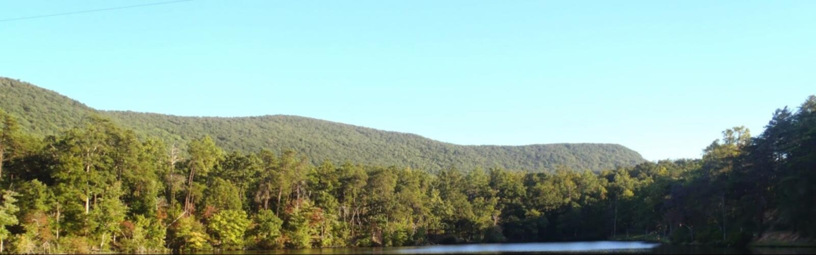
The mountain's rocky outcrops and mixed hardwood forests create a distinctive landscape that feels worlds away from Alabama's coastal plains. Ancient quartzite formations jut from the earth, creating natural viewing platforms and technical scrambling opportunities for adventurous hikers. The terrain varies dramatically from gentle woodland paths to steep, rocky ascents that challenge even experienced hikers.
Dense canopies of oak, hickory, and pine dominate the lower elevations, while the summit areas feature more exposed rock faces and hardy vegetation adapted to the windier, drier conditions. The contrast between sheltered forest valleys and open ridgelines gives hikers a taste of multiple ecosystems within a single outing.
Trail Network and Hiking Options
Multiple trail options cater to different skill levels and time commitments. The Pinhoti Trail, Alabama's premier long-distance hiking route, passes directly over Cheaha Mountain, connecting it to an extensive network of backcountry paths. Day hikers can access the summit via several approaches, each offering its own character and challenges.
The most popular route begins near the state park facilities and winds through mixed forest before emerging onto the rocky summit area. More adventurous hikers can tackle longer approaches that involve significant elevation gain and more remote wilderness sections. Rock hopping and careful navigation become essential skills on some of the more technical routes.
Summit Experience
Reaching Cheaha Mountain's summit rewards hikers with panoramic views that stretch for miles across the Alabama countryside. On clear days, the vista encompasses rolling hills, distant valleys, and an endless canopy of green that highlights Alabama's natural beauty. The summit area features exposed rock formations perfect for rest stops and photography.
A distinctive stone tower marks the highest point, serving as both a landmark and an additional vantage point for those willing to climb its steps. The summit's exposed nature means weather conditions can change rapidly, with wind and temperature variations that differ significantly from the protected forest below.
Wildlife and Natural Features
The mountain's diverse habitats support an impressive array of wildlife. Hikers frequently spot white-tailed deer, wild turkeys, and various songbird species throughout the forest sections. The rocky outcrops provide habitat for lizards and other reptiles that thrive in the warmer, sun-exposed areas.
Seasonal wildflowers add color to the landscape, particularly in spring when mountain laurel and other native plants bloom along the trails. The mixed forest ecosystem changes dramatically with the seasons, offering different experiences for hikers who return throughout the year.
Access and Facilities
Cheaha State Park provides the primary access point for most hiking routes up the mountain. The park offers parking areas, restroom facilities, and basic amenities that make it convenient for day hikers to begin their adventures. Multiple trailheads within the park boundaries provide options for different route choices.
The state park charges standard Alabama state park entrance fees, and visitors should be prepared to pay upon arrival. Park facilities typically include picnic areas and other amenities that can enhance a full day of outdoor activities beyond just hiking.
Hiking Considerations
The rocky terrain demands appropriate footwear with good traction and ankle support. Weather conditions can change quickly at elevation, so hikers should pack layers and be prepared for temperature variations between the forest and exposed summit areas. Water sources are limited on the mountain itself, making adequate hydration planning essential.
Navigation skills become important on some routes, particularly those that venture into more remote sections of the surrounding national forest. Trail markings exist but can be inconsistent, and the rocky terrain sometimes makes path-finding challenging.
Seasonal Variations
Each season brings distinct advantages to hiking Cheaha Mountain. Spring offers wildflower displays and moderate temperatures, while summer provides full forest canopy and longer daylight hours. Fall transforms the landscape with spectacular color changes, and winter offers clearer long-distance views when leaves are down.
Summer heat and humidity can make the more strenuous climbs particularly challenging, while winter conditions occasionally bring ice to the rocky summit areas. Spring and fall generally provide the most comfortable hiking conditions and the most dramatic scenery.
Regional Context
As Alabama's highest point, Cheaha Mountain holds special significance for peak baggers and serious hikers exploring the state's natural areas. Its location within the larger Talladega National Forest system connects it to hundreds of miles of additional hiking opportunities, making it an excellent base for extended outdoor adventures.
The mountain represents the southern terminus of the Appalachian highland system, giving Alabama hikers a taste of the rugged terrain more commonly associated with states further north. This unique geographical position creates ecosystems and views that stand apart from other hiking destinations in the region.
The Essential Hiking Checklist
Everything you need for your next hike. Bilingual, printable, 1 page.
Get your free hiking checklistRecommended gear for this trail
As an Amazon Associate I earn from qualifying purchases.


Ready to go?
Everything you need to know before you goWhen?
How much?
As an Amazon Associate I earn from qualifying purchases.
Affiliate links — LGPO may earn a commission at no extra cost to you.
- Hiking shoes Essential
- → Salomon Elixir Tour Mid WP · 203.38 $
- Layered clothing Essential
- Rain jacket Essential
- Trekking poles
- → Black Diamond Trail Ergo Cork · 69.99 $
- Headlamp
- → Petzl Actik Core 625 · 103.95 $
FAQ - Frequently asked questions
Everything you need to knowSimilar hikes nearby
Discover other trails you might enjoy

Hiking near Pittsburgh
0 trails to explore ~929 km away
We work hard to provide the most up-to-date and error-free data possible. If something seems incorrect, let us know! Your contribution helps the whole community.
Hikers' opinions
Be the first to review!
No hiker has shared their experience yet. Share your impressions and help other hikers!