
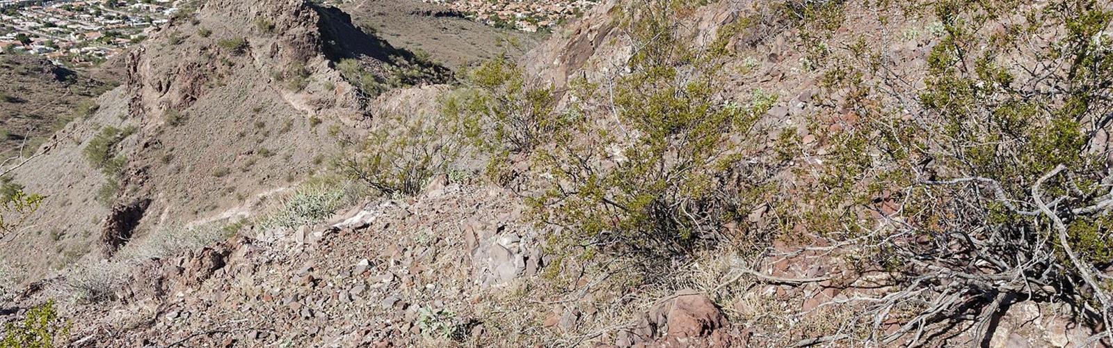
Ready to explore Lookout Mountain Trailhead? Here's everything you need to know before you go!
Discover the trail
Available trails
| TrailTrails | Dist.Distance | GainElevation | Difficulty | GPX |
|---|---|---|---|---|
|
|
4.2 km | — | ||
|
|
4.3 km | — | ||
|
|
3.5 km | — | ||
|
|
1 km | — |
Trail description
The place
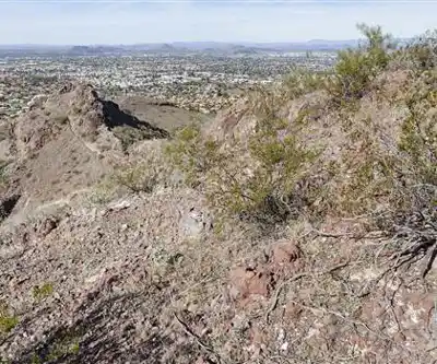
Lookout Mountain Preserve is a municipal park in north Phoenix, in Maricopa County, part of the Phoenix Mountains Preserve system (per Wikipedia). The summit is at 623 m according to the USGS GNIS; the City's map gives 2,054 ft (626 m). According to Wikipedia, the mountain is made of Tertiary basalt flows, Tertiary sediments and basalt breccia.
The trails
The City of Phoenix lists four trails for Lookout Mountain. It rates all of them "moderate/difficult", a rating it defines by obstacles of 12 in. (30 cm) or less, with loose rocks, ruts and possible drops. Temperature, time of day and weather also change the difficulty.
- Circumference Trail (no. 308): 2.6 mi (4.2 km), 150 ft (46 m) of elevation change. It starts at the Lookout Mountain Trailhead. The City describes it as a natural desert-material trail with views of the surrounding mountains, north Phoenix and, to the east, Scottsdale.
- Summit Trail (no. 150): 0.6 mi (1.0 km), 474 ft (144 m) of elevation change. Reach it by going west on the Circumference Trail, then turning left.
- Lookout Mountain Connector Trail no. 25: 2.7 mi (4.3 km), 100 ft (30 m) of elevation change.
- Lookout Mountain Connector Trail no. 25A: 2.2 mi (3.5 km), 100 ft (30 m) of elevation change.
The City lists the two connector trails under Lookout Mountain Park (1898 E. Evans Dr.). Its table does not give the length of the Circumference Trail stretch to walk before the Summit Trail junction, so the total distance from the parking lot to the summit does not appear there.
Dogs, bikes and rules
Dogs are allowed on a leash of 6 ft (1.8 m) or shorter. They are not allowed on trails when the temperature is above 100°F (38°C), and their waste must be picked up and carried out. The City also asks visitors to stay on designated trails.
On the preserve network map, the Circumference Trail is marked for hiking, horseback riding, mountain biking and leashed dogs. The Summit Trail is marked for hiking and leashed dogs only.
Heat and preparation
The City recommends hiking when it is cool, in the early morning or evening, bringing more water than you think you need and turning back before it runs out. It also advises sturdy shoes, a hat and sunscreen, carrying a phone, and hiking with others; if you go alone, tell someone your start time, end time and location.
Services and amenities
On the City's map, the Lookout Mountain Trailhead is marked as parking and trailhead; no restroom or water symbol appears there. Bring your own water.
The Essential Hiking Checklist
Everything you need for your next hike. Bilingual, printable, 1 page.
Get your free hiking checklistRecommended gear for this trail
As an Amazon Associate I earn from qualifying purchases.


Ready to go?
Everything you need to know before you goStarting Point
Lookout Mountain Trailhead: 15600 N. 16th St., Phoenix, AZ 85022. The printable network map gives 15800 N. 16th St. instead. From there, reach the Summit Trail by going west on the Circumference Trail, then turning left. Second access: Lookout Mountain Park, 1898 E. Evans Dr., where connector trails no. 25 and 25A start.
When?
Trails: 5 a.m. to 11 p.m. Lookout Mountain Trailhead parking and entrance: sunrise to 7 p.m. or sunset, whichever comes first. Lookout Mountain Park (Evans Dr.): park open 5 a.m. to 10 p.m.
As an Amazon Associate I earn from qualifying purchases.
Affiliate links — LGPO may earn a commission at no extra cost to you.
- Hiking shoes Essential
- → Salomon Elixir Tour Mid WP · 203.38 $
- Layered clothing Essential
- Rain jacket Essential
- Trekking poles
- → Black Diamond Trail Ergo Cork · 69.99 $
- Headlamp
- → Petzl Actik Core 625 · 103.95 $
FAQ - Frequently asked questions
Everything you need to knowSimilar hikes nearby
Discover other trails you might enjoy

Hiking near Victoria
105 trails to explore ~1895 km away
We work hard to provide the most up-to-date and error-free data possible. If something seems incorrect, let us know! Your contribution helps the whole community.
Hikers' opinions
Be the first to review!
No hiker has shared their experience yet. Share your impressions and help other hikers!