
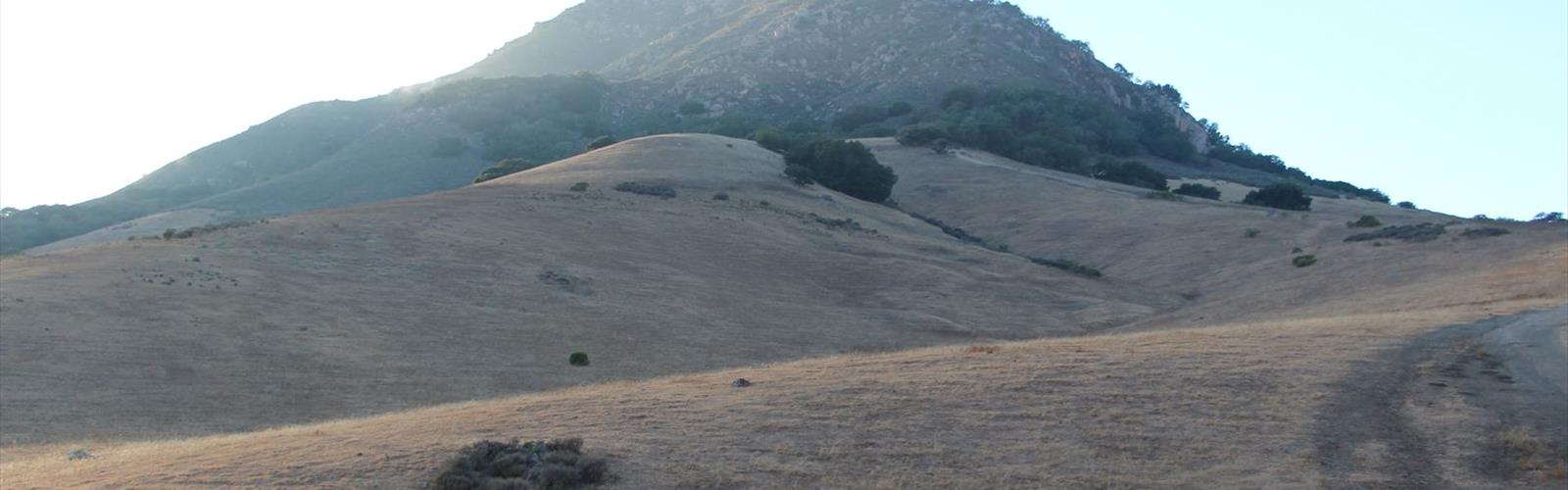

Ready to explore Bishop Peak, California? Here's everything you need to know before you go!
Discover the trail
Trail description
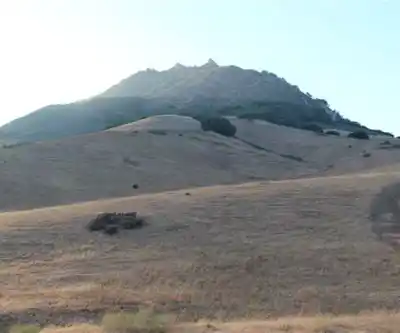
Bishop Peak stands as one of California's Central Coast's most distinctive peaks, offering a moderately challenging adventure that combines hiking with rocky scrambling sections and rewarding panoramic views. This prominent volcanic plug rises dramatically from the surrounding landscape, creating an unmistakable landmark that draws outdoor enthusiasts seeking mountain experiences with technical elements.
Trail Overview
Bishop Peak presents an accessible yet moderately demanding hike that is more challenging than typical regional trails. The ascent involves rocky scrambling sections through varied terrain, though technical climbing equipment is not required. The volcanic rock formations provide interesting route-finding opportunities with good grip characteristics.
The approach to the summit involves navigating through various terrain types, from initial trail sections through oak woodlands to increasingly steep and rocky terrain as you gain elevation. The trail passes through another oak grove where you'll see a popular rock climbing wall on the right before continuing along the south side of the mountain. Switchbacks on the south-west face mark the final approach to the summit.
Route Details and Terrain
Multiple trailheads provide access to Bishop Peak: Patricia Drive, Highland Drive, and Foothill Road. The Highland Drive route covers 5.1 km with 282 meters of elevation gain and typically takes 2-2.5 hours. Alternative routes total approximately 5.4 km. The trail initially follows a wide dirt path through oak woodland before becoming steeper and more technical as elevation increases.
Summit Views and Rewards
Reaching the top of Bishop Peak delivers exceptional 360-degree views across the Central Coast region. The summit provides a commanding perspective over surrounding valleys, distant mountain ranges, and on clear days, glimpses of the Pacific Ocean. The vantage point offers exceptional views of local geography and the Nine Sisters volcanic formation.
The summit area is relatively small but provides adequate space for rest and photography. The sense of accomplishment from completing the scrambling sections makes the views rewarding.
Flora and Wildlife
The diverse elevation zones support varied plant communities. Lower elevations feature typical Central Coast chaparral and oak woodland species. The rocky upper sections host specialized plants adapted to volcanic substrate and exposure. Wildlife sightings include various bird species taking advantage of thermal updrafts, with opportunities to spot raptors and other birds from the elevated position.
Planning Your Visit
Starting early helps avoid afternoon heat and allows ample time for the rocky sections without rushing. The scrambling sections require slower movement than established trails, so account for increased time per kilometer. Physical fitness is important due to the combination of elevation gain and technical movement demanding cardiovascular endurance.
Safety and Weather Considerations
Weather conditions significantly impact the experience. Wet rock becomes dangerously slippery, making scrambling sections more hazardous. Wind can affect the exposed upper sections. Checking conditions before your visit is essential for safe travel. Descending the rocky sections requires particular attention as downclimbing can be more challenging than ascent.
The Essential Hiking Checklist
Everything you need for your next hike. Bilingual, printable, 1 page.
Get your free hiking checklistRecommended gear for this trail
As an Amazon Associate I earn from qualifying purchases.


Ready to go?
Everything you need to know before you goWhen?
How much?
As an Amazon Associate I earn from qualifying purchases.
Affiliate links — LGPO may earn a commission at no extra cost to you.
- Hiking shoes Essential
- → Salomon Elixir Tour Mid WP · 203.38 $
- Layered clothing Essential
- Rain jacket Essential
- Trekking poles
- → Black Diamond Trail Ergo Cork · 69.99 $
- Headlamp
- → Petzl Actik Core 625 · 103.95 $
FAQ - Frequently asked questions
Everything you need to knowSimilar hikes nearby
Discover other trails you might enjoy

Saddle Peak, California
Central Coast
Indians Road
Central Coast
Pinnacles National Park
Central Coast
Stearns Wharf
Central Coast
Black Hill, California
Central Coast
Castle Mountain, California
Central Coast
Hiking near Victoria
93 trails to explore ~1474 km away
We work hard to provide the most up-to-date and error-free data possible. If something seems incorrect, let us know! Your contribution helps the whole community.
Hikers' opinions
Be the first to review!
No hiker has shared their experience yet. Share your impressions and help other hikers!