Let's Go Play Outside
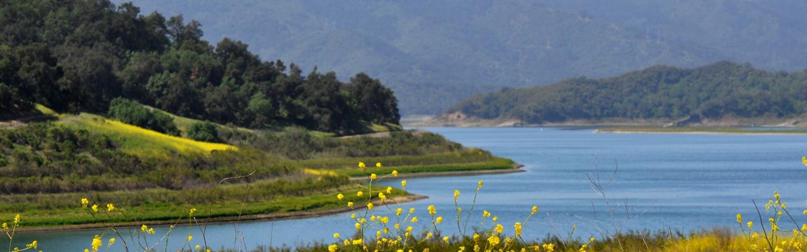
Hiking Lake Casitas - panoramic view
--°C
Loading...
See forecast →

Hiking in the Lake Casitas: trails, map and practical info

Central Coast • California

Ready to explore Lake Casitas? Here's everything you need to know before you go!

Discover the trail
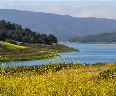
1 community photo

Photos: Annette Teng — CC BY 3.0 (Wikimedia Commons)

Trail description

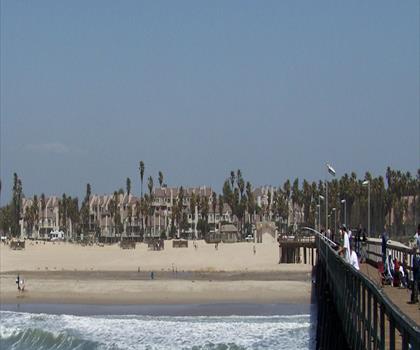
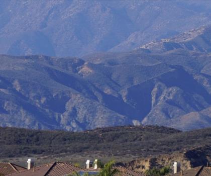
Lake Casitas is a man-made lake in the Los Padres National Forest of Ventura County, California, created by the construction of Casitas Dam on Coyote Creek, two miles (3 km) before it joins the Ventura River. Santa Ana Creek and North Fork Coyote Creek also flow into the lake. The dam was constructed of earth-fill and was completed in 1959. It is 279 ft (85 m) and was built by the United States Bureau of Reclamation. The lake has a capacity of 254,000 acre·ft (313,000,000 m3). The dam was built as part of the Ventura River Project and was strengthened in Jun-Dec 2000 as a seismic improvement to help withstand earthquakes greater than 6.5. The project provides drinking water and water for irrigation. A secondary benefit is flood control. In the center of Lake Casitas is 2 km Main Island, whose peak rises more than 500 feet (150 m) from the lake surface. Human contact with the water is prohibited by the Board of Directors at the Casitas Municipal Water District. The Board states that since the Lake is used for drinking water body contact with water is not allowed, but fishing, boating, rowing and camping are permitted. During the 1984 Summer Olympics in Los Angeles, Lake Casitas hosted the canoeing and rowing events. The lake was used as the site for filming the scenes of 'Camp Greenlake' in the 19th century. The lake featured in the 2003 film Holes. The "No Body Contact with Water" Lake Policy was established by The Casitas Municipal Water District in the 1950s and 1960s because the lake did not have a filtration system in place. In the 1990s a multimillion-dollar filtration system upgrade was made to the Lake Casitas facility. The US Department of the Interior conducted a 10-year study on the Lake where allowing body contact with water was explored. The study reported, "The capabilities of the current water filtration system to handle the additional burden of body contact were called into question. The system was shown to exceed current regulatory standards, and would “probably” be sufficient enough to mitigate body contact pollution as well." The Casitas Municipal Water District has not significantly changed the "no body contact with water" regulations in response to the facilities upgrade.
Free 1 page
The Essential Hiking Checklist

Everything you need for your next hike. Bilingual, printable, 1 page.

Get your free hiking checklist

Recommended gear for this trail

As an Amazon Associate I earn from qualifying purchases.

LGPO Pick
Elixir Tour Mid WP
Salomon
Elixir Tour Mid WP
4.5 (2847 reviews)
Waterproof mid-height boot ideal for rocky terrain
203.38 $
See price
Best Value
Trail Ergo Cork
Black Diamond
Trail Ergo Cork
4.4 (1456 reviews)
Comfortable cork grip for long ascents
69.99 $
See price
Daylite Plus 20L
Osprey
Daylite Plus 20L
4.7 (3215 reviews)
Lightweight and versatile for day hikes
109.99 $
See price
Actik Core 625
Petzl
Actik Core 625
4.6 (1893 reviews)
USB rechargeable with 600 lumens for early starts
103.95 $
See price
Most Popular
Wide Mouth 1L
Nalgene
Wide Mouth 1L
4.8 (12540 reviews)
Unbreakable and BPA-free — a hiking essential
23.11 $
See price
Affiliate links — LGPO may earn a commission at no extra cost to you.

Ready to go?

Everything you need to know before you go

Where?

Address
Not available
GPS coordinates
34.3882, -119.3339335
Phone
Not available

When?

Opening hours
No information
Weather (next days)
Loading
What to bring?

As an Amazon Associate I earn from qualifying purchases.

Affiliate links — LGPO may earn a commission at no extra cost to you.

General hiking tips, to adapt to your outing.
Gear
Download the PDF checklist
Water & food
Tip: bring water
Good to know
In an emergency
Emergency
911
GPS coordinates
34.3882, -119.3339335

Hikers' opinions

Be the first to review!

No hiker has shared their experience yet. Share your impressions and help other hikers!

FAQ - Frequently asked questions

Everything you need to know
Didn't find your answer?
Top 10 best hiking in Central Coast
Our ranking based on hiker reviews

Hiking near Victoria

105 trails to explore ~1595 km away

View trails near Victoria
Did you spot an error?

We work hard to provide the most up-to-date and error-free data possible. If something seems incorrect, let us know!

Update : November 2026