

Ready to explore Frazier Mountain, California? Here's everything you need to know before you go!
Discover the trail
Trail description
Frazier Mountain is one of the more rewarding summit objectives in the greater Los Angeles backcountry. Sitting in the Transverse Ranges northwest of the city, it offers a genuine mountain experience without requiring a long drive into the Sierra Nevada. The peak draws climbers and hikers looking for elevation, solitude, and wide-open views across the surrounding ridgelines and valleys.
The Terrain
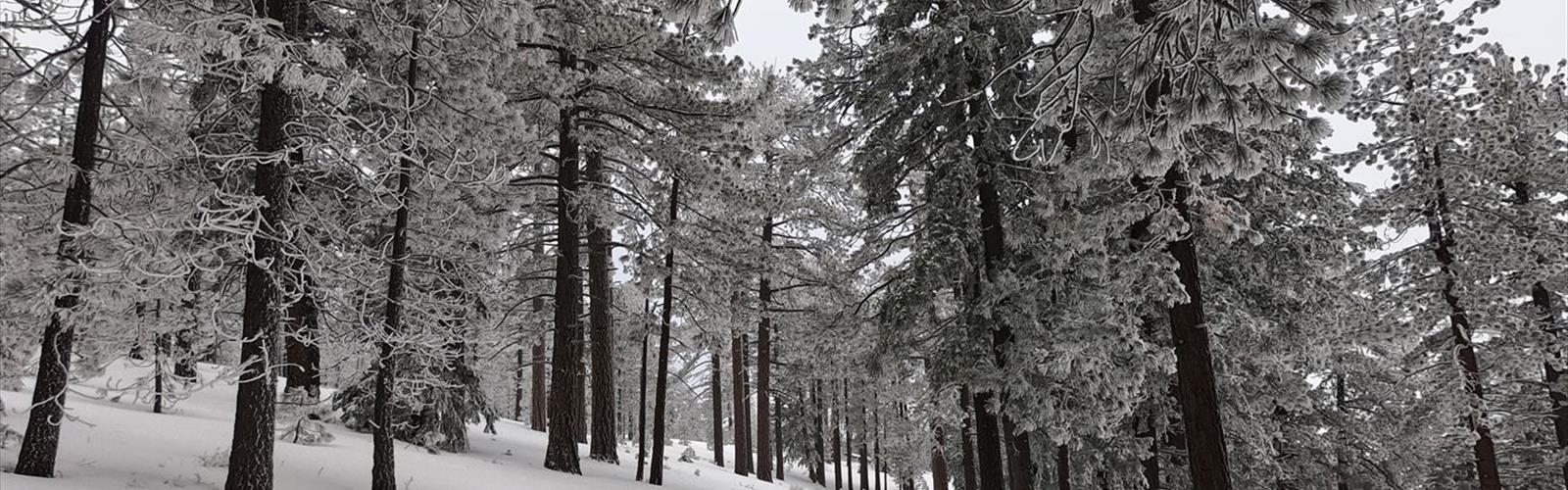
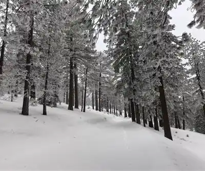
Frazier Mountain rises to an elevation of approximately 8,013 feet (2,442 meters), making it one of the higher points accessible from the Los Angeles basin. The landscape up here is a mix of chaparral on the lower slopes transitioning to open pine and fir forest as you gain elevation. The upper terrain is rocky and exposed, with the kind of rugged, windswept character you'd expect from a true mountain summit rather than a groomed trail system.
The route to the top is not a maintained hiking trail in the traditional sense — it's more of a cross-country climb and scramble, which is exactly why it appeals to people looking for something beyond a well-signed path. Navigation skills and a solid sense of the terrain are useful here. The final push to the summit involves some scrambling over loose rock and brush, so sturdy footwear and trekking poles are worth bringing.
The Summit Experience
The payoff at the top is real. On a clear day, the views from Frazier Mountain stretch across the San Joaquin Valley to the north, the Tehachapi Mountains to the northwest, and the sprawling ridges of Los Padres National Forest in multiple directions. The summit itself is marked and has a register, which is a satisfying detail for peak baggers who like to document their climbs.
Because this isn't a heavily trafficked trail, you're likely to have the upper mountain largely to yourself, especially on weekdays. The quiet up here is a genuine contrast to the density of the metro area below.
Access and Starting Point
The mountain is typically accessed via Frazier Mountain Park Road, off Interstate 5 near the Frazier Park exit in the Tehachapi Pass area. The community of Frazier Park serves as the practical base for the climb. Depending on the specific route taken, the approach can involve a mix of dirt road walking and off-trail travel. Road conditions on the upper access roads can vary seasonally, and a vehicle with decent clearance is an asset if you're driving closer to the trailhead area.
There is no formal trailhead with amenities at the summit approach — no restrooms, no water, no fee station. Come self-sufficient. Bring more water than you think you need, especially in warmer months when the exposed upper slopes can be dry and hot.
When to Go
Spring and fall are the most comfortable seasons for climbing Frazier Mountain. Summer temperatures can be high on the exposed slopes, and the lack of shade on the upper mountain makes midday ascents punishing. Winter brings snow to the summit area, which can make the route significantly more challenging and requires appropriate gear and experience. Early spring can offer snow on the upper sections with pleasant temperatures lower down — a nice combination if you're prepared for it.
Who This Is For
Frazier Mountain suits hikers and scramblers who are comfortable with off-trail travel and don't need a marked path underfoot the whole way. It's not a technical climb requiring ropes or specialized gear, but it does demand more route-finding ability and physical effort than a standard trail hike. If you've done a few peak climbs in Southern California and want something with a bit more character and commitment, this is a solid choice.
- Summit elevation: approximately 8,013 feet (2,442 m)
- Terrain type: off-trail scramble, chaparral and forest
- Access community: Frazier Park, off Interstate 5
- Facilities at trailhead: none — come fully self-sufficient
- Best seasons: spring and fall
- Recommended gear: sturdy footwear, trekking poles, navigation tools, ample water
Frazier Mountain is the kind of objective that rewards people who are willing to do a little more work for a summit that feels genuinely earned.
The Essential Hiking Checklist
Everything you need for your next hike. Bilingual, printable, 1 page.
Get your free hiking checklistRecommended gear for this trail
As an Amazon Associate I earn from qualifying purchases.


Ready to go?
Everything you need to know before you goWhen?
How much?
As an Amazon Associate I earn from qualifying purchases.
Affiliate links — LGPO may earn a commission at no extra cost to you.
- Hiking shoes Essential
- → Salomon Elixir Tour Mid WP · 203.38 $
- Layered clothing Essential
- Rain jacket Essential
- Trekking poles
- → Black Diamond Trail Ergo Cork · 69.99 $
- Headlamp
- → Petzl Actik Core 625 · 103.95 $
FAQ - Frequently asked questions
Everything you need to knowSimilar hikes nearby
Discover other trails you might enjoy

Mount Lowe, California
Greater Los Angeles
Mount Lukens, California
Greater Los Angeles
Mount Wilson, California
Greater Los Angeles
Mount Zion, California
Greater Los Angeles
Lake Piru
Greater Los Angeles
South Coast Botanic Garden
Greater Los Angeles
Hiking near Victoria
93 trails to explore ~1559 km away
We work hard to provide the most up-to-date and error-free data possible. If something seems incorrect, let us know! Your contribution helps the whole community.
Hikers' opinions
Be the first to review!
No hiker has shared their experience yet. Share your impressions and help other hikers!