
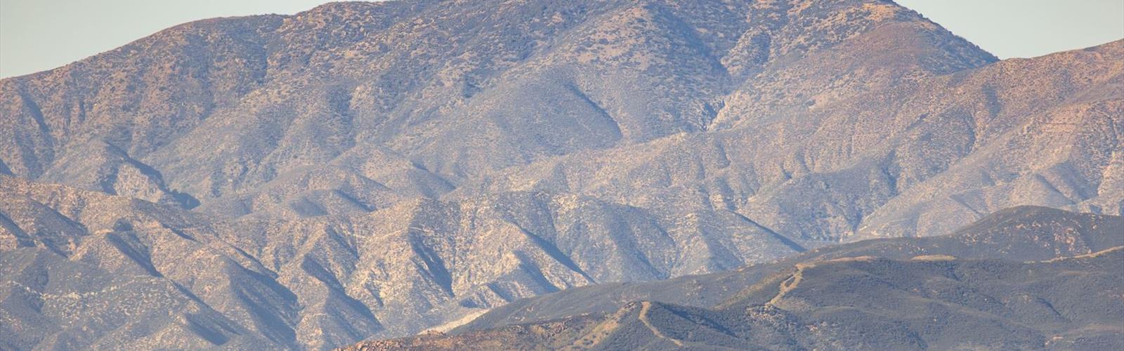

Ready to explore Burnt Peak, California? Here's everything you need to know before you go!
Discover the trail
Trail description
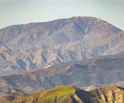
Burnt Peak is a summit destination in the San Gabriel Mountains, located within the Angeles National Forest in the greater Los Angeles area of California. It sits in a rugged section of the forest that sees far less traffic than the more popular trailheads closer to the urban edge, making it a solid choice for hikers and scramblers looking to earn a summit with a bit more solitude.
The Terrain
The approach to Burnt Peak moves through classic Southern California mountain terrain — chaparral-covered slopes, mixed conifer zones at higher elevations, and rocky ridgelines that open up as you gain altitude. The vegetation transitions noticeably as you climb, shifting from dense brush and manzanita lower down to pine and fir stands near the top. The trail itself is not heavily maintained, so expect some route-finding, loose rock in sections, and a generally rugged feel underfoot.
The summit area rewards the effort with panoramic views that stretch across the surrounding ridges of the San Gabriel Mountains. On a clear day, the perspective from the top gives a real sense of the scale and wildness of the Angeles National Forest, which can feel surprising given how close you are to one of the largest metro areas in the country.
What to Expect on the Climb
Burnt Peak is considered a climbing objective as much as a hiking destination — the route involves some hands-on scrambling depending on the line you take to the top. It's not technical climbing in the rope-and-gear sense, but it's also not a casual walk. Hikers comfortable on uneven, rocky terrain will handle it well. Those newer to off-trail or semi-technical terrain should come prepared and go with someone who knows the area.
The exposure on the upper sections is real, so take your time and pick your footing carefully. Trekking poles can help on the descent, especially on loose or gravelly sections.
Getting There
Burnt Peak is accessed via the Angeles National Forest. An Adventure Pass is typically required for parking at trailheads within the forest — make sure you have one displayed before you leave your vehicle. Cell service can be unreliable in this part of the forest, so download your maps and route information before heading out.
Practical Tips
- Water: There are no reliable water sources on the route. Carry everything you need from the trailhead.
- Sun exposure: The upper ridgeline is fully exposed. A hat, sunscreen, and sun-protective layers are worth having regardless of the season.
- Timing: Summer heat in the San Gabriels can be intense. Early morning starts are strongly recommended if you're heading out between June and September.
- Navigation: The route to Burnt Peak is not always clearly signed. A downloaded topo map or GPS track is a good idea before you go.
- Adventure Pass: Required for parking in the Angeles National Forest. Available online through the USDA Forest Service or at local vendors.
Who It's For
Burnt Peak suits hikers who are comfortable with moderate to strenuous terrain and don't mind a bit of route-finding. It's a good objective for those who have already knocked off the more straightforward San Gabriel summits and are looking for something with a little more character. The relative quiet of this corner of the forest is a genuine draw — you're unlikely to be fighting for parking or sharing the summit with a crowd.
If you're based in the greater Los Angeles area and want a mountain day that feels genuinely remote without a long drive, Burnt Peak delivers that experience in a way that few spots this close to the city can match.
The Essential Hiking Checklist
Everything you need for your next hike. Bilingual, printable, 1 page.
Get your free hiking checklistRecommended gear for this trail
As an Amazon Associate I earn from qualifying purchases.


Ready to go?
Everything you need to know before you goWhen?
How much?
As an Amazon Associate I earn from qualifying purchases.
Affiliate links — LGPO may earn a commission at no extra cost to you.
- Hiking shoes Essential
- → Salomon Elixir Tour Mid WP · 203.38 $
- Layered clothing Essential
- Rain jacket Essential
- Trekking poles
- → Black Diamond Trail Ergo Cork · 69.99 $
- Headlamp
- → Petzl Actik Core 625 · 103.95 $
FAQ - Frequently asked questions
Everything you need to knowSimilar hikes nearby
Discover other trails you might enjoy

Mount Lowe, California
Greater Los Angeles
Mount Lukens, California
Greater Los Angeles
Mount Wilson, California
Greater Los Angeles
Mount Zion, California
Greater Los Angeles
Lake Piru
Greater Los Angeles
South Coast Botanic Garden
Greater Los Angeles
Hiking near Victoria
93 trails to explore ~1577 km away
We work hard to provide the most up-to-date and error-free data possible. If something seems incorrect, let us know! Your contribution helps the whole community.
Hikers' opinions
Be the first to review!
No hiker has shared their experience yet. Share your impressions and help other hikers!