


Ready to explore Cummings Mountain, California? Here's everything you need to know before you go!
Discover the trail
Oh no! We don't have any photos 😢
This trail hasn't been captured yet. Be the first to share your adventure!Trail description
Cummings Mountain sits in the rugged backcountry of Southern California, within the greater Los Angeles region. It's the kind of destination that draws climbers and scramblers looking to get off the beaten path — a peak that rewards effort with genuine solitude and a real sense of accomplishment. If you're tired of crowded trailheads and manicured paths, this one delivers something rawer and more satisfying.
What Kind of Terrain to Expect
Cummings Mountain is primarily known as a climbing and scrambling objective rather than a standard hiking trail. The terrain is rugged and uneven, with loose rock, steep pitches, and sections that require hands-on route-finding. This isn't a place where you follow a well-worn dirt path to a summit — you're navigating the mountain itself, reading the landscape as you go.
The approach involves moving through chaparral-covered slopes typical of the Southern California backcountry. Expect dense brush, rocky outcroppings, and terrain that shifts underfoot. The upper sections of the route become more technical, with exposed scrambling that demands focus and solid footwork. Trekking poles may be more hindrance than help on the steeper sections — having your hands free is often the better call.
The Climbing Experience
What sets Cummings Mountain apart from the more accessible peaks in the greater Los Angeles area is the commitment it asks of you. This isn't a casual afternoon outing. The route requires genuine navigation skills, comfort with exposure, and the physical fitness to handle sustained effort on uneven ground.
Scramblers will find the upper mountain engaging — the kind of terrain where you're constantly problem-solving your line, testing holds, and staying present. It's mentally engaging in a way that flat trail hiking simply isn't. For those building toward more technical mountaineering objectives, Cummings Mountain offers a solid proving ground without requiring ropes or specialized gear on the standard route.
The summit itself delivers the payoff you'd expect from the effort invested. Views stretch across the surrounding ranges and valleys, giving you a real sense of the scale of Southern California's wild interior — a landscape that often surprises people who associate the region primarily with its coastline and urban sprawl.
Who This Is For
Cummings Mountain is best suited for experienced hikers and scramblers who are comfortable with off-trail travel and some exposure. If you've done a handful of peak scrambles in the San Gabriel Mountains or similar Southern California terrain and felt at home, you'll likely handle this one well.
It's not the right choice for beginners or anyone who gets uncomfortable when the trail disappears. Route-finding is a genuine part of the experience here, and the consequences of a wrong turn can mean working through thick brush or finding yourself on terrain that's harder than intended. Going with someone who has done the route before — or doing solid research before you leave the trailhead — makes a real difference.
Fit, experienced hikers who enjoy a challenge will find this mountain genuinely rewarding. It's the kind of objective that earns its place on a peak-bagger's list.
Practical Considerations
- Navigation: A downloaded map and GPS are strongly recommended. The route is not consistently marked, and off-trail sections require active navigation.
- Footwear: Approach shoes or sturdy hiking boots with good grip are essential. Trail runners can work for experienced scramblers comfortable on loose rock.
- Water: There are no reliable water sources on the route. Carry everything you'll need from the start.
- Sun exposure: Southern California's backcountry terrain offers limited shade. Start early, bring sun protection, and plan your turnaround time accordingly — especially in warmer months.
- Group size: Smaller groups move more efficiently on technical terrain and cause less impact on the fragile chaparral ecosystem.
Getting There
Cummings Mountain is located in the greater Los Angeles region of California. Access routes and trailhead details can vary depending on your specific approach, so verifying current road and access conditions before heading out is a good habit — particularly after periods of heavy rain, which can affect unpaved roads and trail conditions significantly in this part of Southern California.
Leave No Trace
Off-trail scrambling in chaparral country puts real pressure on fragile vegetation. Stick to rocky surfaces where possible when moving through the brush, avoid creating new social trails, and pack out everything you bring in. The relative remoteness of Cummings Mountain is part of what makes it worth visiting — keeping it that way takes a collective effort from everyone who shows up.
Cummings Mountain rewards the hikers and scramblers who come prepared, respect the terrain, and embrace the kind of adventure that doesn't come with guardrails.
The Essential Hiking Checklist
Everything you need for your next hike. Bilingual, printable, 1 page.
Get your free hiking checklistRecommended gear for this trail
As an Amazon Associate I earn from qualifying purchases.


Ready to go?
Everything you need to know before you goWhen?
How much?
As an Amazon Associate I earn from qualifying purchases.
Affiliate links — LGPO may earn a commission at no extra cost to you.
- Hiking shoes Essential
- → Salomon Elixir Tour Mid WP · 203.38 $
- Layered clothing Essential
- Rain jacket Essential
- Trekking poles
- → Black Diamond Trail Ergo Cork · 69.99 $
- Headlamp
- → Petzl Actik Core 625 · 103.95 $
FAQ - Frequently asked questions
Everything you need to knowSimilar hikes nearby
Discover other trails you might enjoy

Mount Lowe, California
Greater Los Angeles
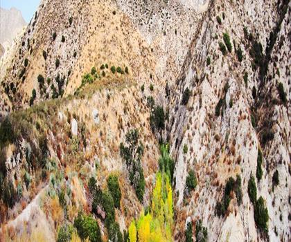
Mount Lukens, California
Greater Los Angeles

Mount Wilson, California
Greater Los Angeles
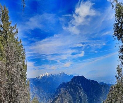
Mount Zion, California
Greater Los Angeles
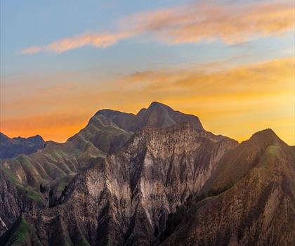
Lake Piru
Greater Los Angeles

South Coast Botanic Garden
Greater Los Angeles
Hiking near Victoria
93 trails to explore ~1539 km away
We work hard to provide the most up-to-date and error-free data possible. If something seems incorrect, let us know! Your contribution helps the whole community.
Hikers' opinions
Be the first to review!
No hiker has shared their experience yet. Share your impressions and help other hikers!