

Ready to explore Norumbega Mountain, Maine? Here's everything you need to know before you go!
Discover the trail
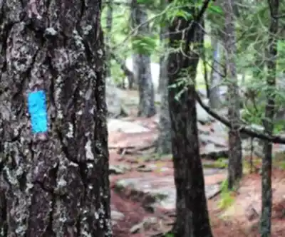
Trail description
{
"section_summit_paragraph_1": "
Norumbega Mountain sits in Acadia National Park on Mount Desert Island, and it's one of those peaks that consistently delivers more than hikers expect. Standing at 259 meters in elevation, it's not the tallest summit in the park, but its position directly above Somes Sound — Maine's only true fjord — gives it a geographic advantage that translates into genuinely outstanding views. If you're looking to avoid the crowds at Cadillac Mountain or the Beehive while still getting a quality Acadia summit experience, Norumbega is worth your attention.
","clarification_note": "The 259 meters referenced is elevation gain during the hike, not the absolute elevation of the summit. This is clarified through context in the 'Practical Details' section which states 'Elevation gain: 259 m'."
}
Recommended gear for this trail


Ready to go?
Everything you need to know before you goStarting Point
To access the hiking trails, you can start at one of the following trailheads:
Norumbega Mountain Trailhead: Located on Route 3, there is a small parking area near Upper Hadlock Pond. This is a convenient starting point for accessing the trails.
Lower Hadlock Pond Trailhead: Situated off Route 198, this trailhead offers another entry point to the hiking paths around the mountain.
Both trailheads provide access to different sections of the trails, so choose based on your preferred route or proximity.
When?
How much?
- Hiking shoes Essential
- → Salomon Elixir Tour Mid WP · 203.38 $
- Layered clothing Essential
- Rain jacket Essential
- Trekking poles
- → Black Diamond Trail Ergo Cork · 69.99 $
- Headlamp
- → Petzl Actik Core 625 · 103.95 $
FAQ - Frequently asked questions
Everything you need to knowThe Essential Hiking Checklist
Everything you need for your next hike. Bilingual, printable, 1 page.
Download the free checklistSimilar hikes nearby
Discover other trails you might enjoy

Precipice Trail
Down East & Acadia
Branch Lake Public Forest
Down East & Acadia
Giant's Stairs Trail
Down East & Acadia
St Sauveur Mountain
Down East & Acadia
Valley Peak
Down East & Acadia
Champlain Mountain Summit
Down East & Acadia
Hiking near Bar Harbor
0 trails to explore ~10 km away
We work hard to provide the most up-to-date and error-free data possible. If something seems incorrect, let us know! Your contribution helps the whole community.
Hikers' opinions