

Ready to explore Doane's Falls? Here's everything you need to know before you go!
Discover the trail
Trail description
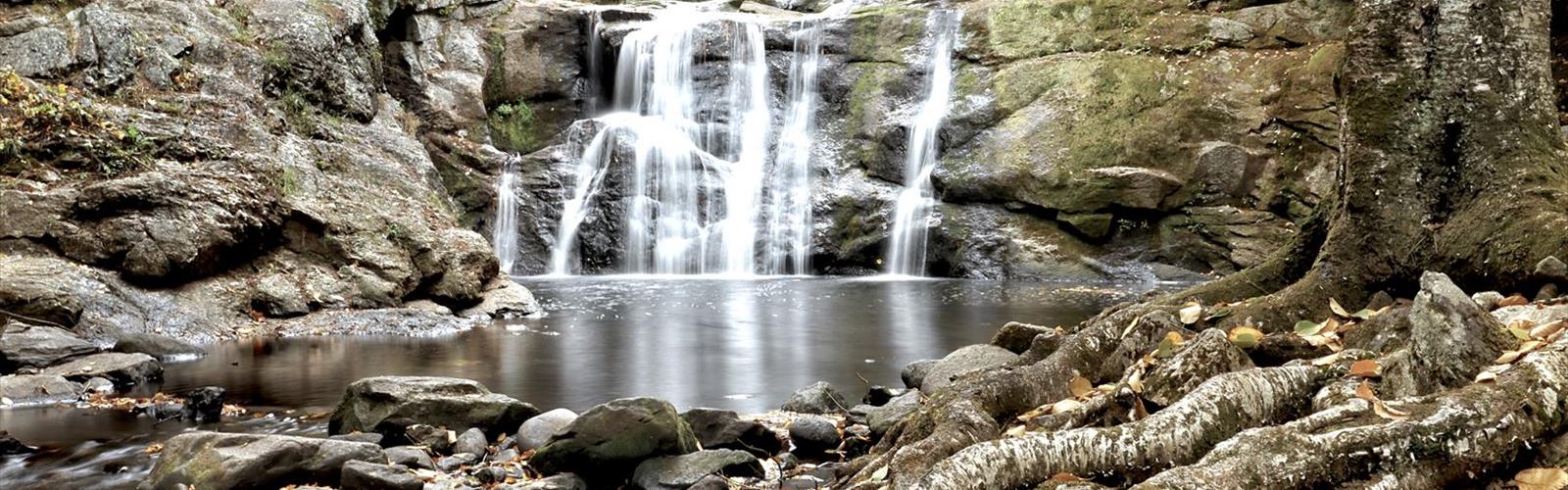
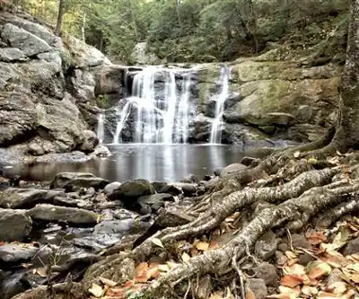
Tucked into the quiet town of Royalston in central Massachusetts, Doane's Falls is one of those places that punches well above its weight. The hike itself is short — just 1.6 kilometers with 61 meters of elevation gain — but what you find at the end makes it genuinely memorable. A series of cascading waterfalls tumbles down granite ledges along Lawrence Brook, creating a natural staircase of stone and whitewater that draws photographers, families, and anyone who needs a solid nature fix without committing to a full day on the trail.
The 46-acre reservation is managed by The Trustees of Reservations, and that stewardship shows. Trails are well-maintained, signage is clear, and the surrounding watershed feels genuinely protected rather than just technically preserved.
The Trail
The path to Doane's Falls is straightforward and well-marked, winding through dense mixed forest dominated by white pines and eastern hemlocks. The elevation gain is gentle and spread out over the full route, so the 30-minute hike feels easy even for younger kids or anyone who doesn't hike regularly. There are no steep scrambles, no exposed ridges — just a quiet forest walk that gradually gets louder as you approach the brook.
The trail surface is mostly packed earth with occasional rocky sections. Nothing here demands specialized footwear — basic hiking shoes or sturdy sneakers handle it fine. After rain, expect muddy patches in the lower sections near the water where the soil stays wet longer. The forest canopy keeps things cool and shaded even in summer, and the understory stays lush with ferns and mosses that carpet the ground in deep greens.
The Falls
What makes Doane's Falls worth the trip is the variety. Lawrence Brook doesn't just drop over a single ledge — it cascades down multiple tiers of granite, each one with its own character. The geological story is written right there in the rock: layers of ancient stone carved smooth by centuries of flowing water.
Spring is when the falls are at their most dramatic. Snowmelt and rain push Lawrence Brook into a full-throated roar that fills the whole valley with sound. The water crashes over the ledges with real force, and the spray catches the light in ways that make photographers very happy. If you want volume and power, this is your season.
Summer brings lower water levels, but that's not a bad thing. With less flow, more of the granite formations are exposed, and you can actually read the rock — the smooth curves, the carved channels, the pools that collect below each drop. It's easier to move around and find different vantage points, though the wet rock stays slippery regardless of water level, so watch your footing.
Fall is peak season for a reason. The hardwoods surrounding the falls — maples, birches, oaks — turn the whole hillside into a backdrop of reds, oranges, and yellows, and those colors reflect in the pools below. Foliage typically peaks in early to mid-October, and the parking lot fills up fast on weekends during that window.
Winter visits are quieter and genuinely beautiful when ice formations build up around the falls, but they require extra care. Icy trails and slick granite near the viewing areas are a real hazard, and traction devices for your boots are worth bringing if you're planning a cold-weather visit.
Wildlife and Natural Features
The protected status of the reservation means wildlife is present and relatively undisturbed. White-tailed deer are common, especially in early morning or late afternoon. Squirrels, chipmunks, and a solid variety of bird species — woodpeckers, nuthatches, seasonal migrants — are regular sights along the trail. Red foxes make occasional appearances near dawn or dusk, and the brook supports the aquatic insects that keep the local bird population well-fed.
The plant life reflects the varied microclimates created by the flowing water and the forest canopy. Spring brings wildflowers like trout lily and bloodroot. Summer showcases the ferns and the occasional wild orchid in the damper spots near the water. The mix of conifers and hardwoods creates a layered ecosystem that changes noticeably as you move from the drier upland sections of the trail down toward the brook.
Photography
The granite ledges along Lawrence Brook offer multiple natural platforms for shooting the falls, and the variety of tiers means there's no single "right" angle — you can work the scene from several positions. The light filtering through the forest canopy is beautiful but challenging, shifting constantly and creating a mix of bright highlights and deep shadows.
Early morning visits tend to give the most even, workable light. The falls face roughly northeast, so afternoon light can create harsh shadows that flatten the texture of the rock and water. A tripod helps significantly for long-exposure water shots, and the dappled forest light also lends itself well to black-and-white work if that's your thing.
Extending Your Day
The nearby Tully Lake area gives you solid options if you want to make a full day of it. The lake has additional hiking trails ranging from easy lakeside walks to more varied terrain, plus designated picnic areas that work well for a post-hike meal. Kayaking and canoeing are available on the lake, offering a different perspective on the same watershed that feeds the falls. The broader network of conservation lands in the area also connects to more ambitious routes for hikers looking to push beyond the reservation itself.
Good to Know Before You Go
- The parking lot near the trailhead is small and fills up quickly on weekends, especially during fall foliage season. Arriving early or visiting on a weekday makes a real difference.
- Dogs are welcome but must stay leashed at all times — a Trustees of Reservations policy that applies across all their properties.
- The trail is open year-round, but winter conditions require extra preparation. Traction devices and trekking poles are worth considering if there's any chance of ice.
- Wet granite near the falls is slippery in every season, not just winter. Stay on designated viewing areas and don't push your luck for a better angle.
- Follow Leave No Trace principles: pack out your trash, stay on the trail, and leave the rock formations as you found them.
The Essential Hiking Checklist
Everything you need for your next hike. Bilingual, printable, 1 page.
Get your free hiking checklistRecommended gear for this trail
As an Amazon Associate I earn from qualifying purchases.


Ready to go?
Everything you need to know before you goStarting Point
The easiest way to get to the start of the trails at doane's falls is to take exit 16 from Route 2 and drive north on Route 116 for about 1.5 miles. The trailhead will be on your left.
When?
How much?
As an Amazon Associate I earn from qualifying purchases.
Affiliate links — LGPO may earn a commission at no extra cost to you.
- Hiking shoes Essential
- → Salomon Elixir Tour Mid WP · 203.38 $
- Layered clothing Essential
- Rain jacket Essential
- Trekking poles
- → Black Diamond Trail Ergo Cork · 69.99 $
- Headlamp
- → Petzl Actik Core 625 · 103.95 $
FAQ - Frequently asked questions
Everything you need to knowSimilar hikes nearby
Discover other trails you might enjoy
Fort Hill Trail
Cape Cod
Dune Shacks Trail
Cape Cod
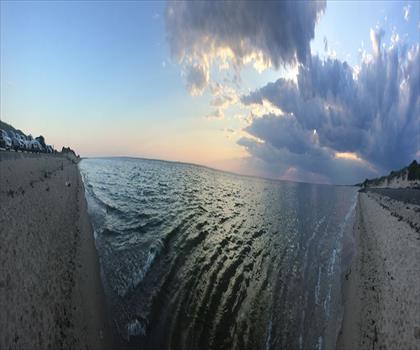
Hatches Harbor Trail
Cape Cod

Great Island Trail
Cape Cod
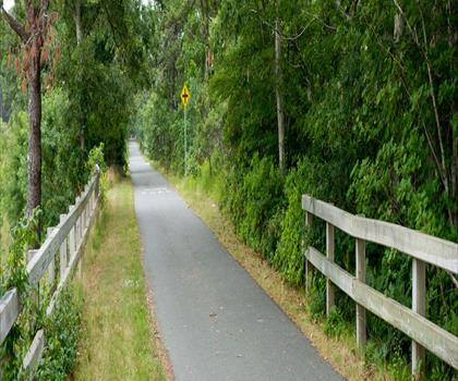
Cape Cod Rail Trail
Cape Cod
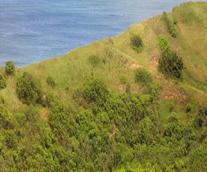
Cape Cod National Seashore
Cape Cod
Hiking near Worcester
0 trails to explore ~54 km away
We work hard to provide the most up-to-date and error-free data possible. If something seems incorrect, let us know! Your contribution helps the whole community.
Hikers' opinions
Be the first to review!
No hiker has shared their experience yet. Share your impressions and help other hikers!