
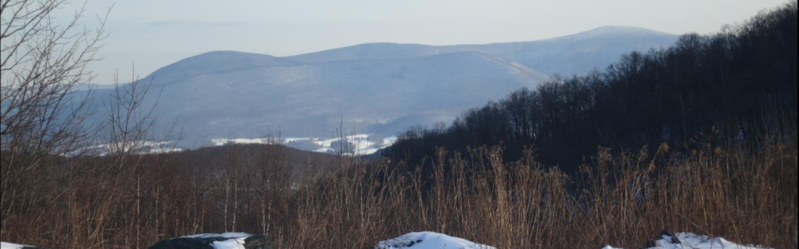

Ready to explore Mount Fitch, Massachusetts? Here's everything you need to know before you go!
Discover the trail
Oh no! We don't have any photos 😢
This trail hasn't been captured yet. Be the first to share your adventure!Trail description
Mount Fitch sits in the northern Berkshires of Massachusetts, part of the Taconic Range that runs along the western edge of the state. It's one of the lesser-known summits in the area, which honestly works in your favor — you get real forest, real quiet, and a genuine sense of being out there without the crowds that tend to pile up on more famous Berkshire peaks.
The mountain is located within Clarksburg State Forest, a working forest managed by the Massachusetts Department of Conservation and Recreation. The landscape here is classic western Massachusetts hill country: mixed hardwood and conifer forest, rocky ridgelines, and the kind of terrain that rewards hikers who don't need a manicured trail to have a good time.
The Terrain
Mount Fitch is part of a cluster of summits in the northern Berkshires that includes Mount Greylock — the highest point in Massachusetts — and its neighboring peaks. The Taconic Range in this corner of the state is characterized by steep, forested slopes, exposed quartzite and schist outcroppings, and dense second-growth forest that has reclaimed land once cleared for farming and logging.
The trails on and around Mount Fitch tend to be rugged rather than polished. You're dealing with rooty, rocky footing in places, and the grades can be serious. This isn't a stroll — it's the kind of hike where you'll want proper footwear and a bit of experience reading trail conditions. Wet weather makes the rocky sections genuinely slippery, so timing matters.
The forest cover is a mix of northern hardwoods — yellow birch, sugar maple, American beech — along with red spruce and balsam fir at higher elevations. In fall, the color here is exceptional, which is true across the Berkshires generally, but the relative solitude on Mount Fitch makes the experience feel more personal than the popular overlooks nearby.
What to Expect on the Trail
Hikers approaching Mount Fitch typically connect via the trail network within Clarksburg State Forest or through routes that link into the broader Greylock Reservation trail system. The Appalachian Trail passes through this general region of the Berkshires, and several connector trails weave through the northern highlands, giving you options for loop routes or point-to-point traverses depending on your group's goals and logistics.
The summit itself is wooded, which is typical for peaks in this range. Don't come expecting a wide-open panoramic view from the top — the Berkshires aren't the Rockies, and many of the summits here offer filtered or partial views through the trees rather than dramatic exposed ledges. That said, there are spots along the ridgeline where the canopy opens up enough to give you a sense of the surrounding hills and valleys, particularly toward the Hoosic River valley to the north and east.
Wildlife is active throughout the forest. White-tailed deer, wild turkey, and black bear are all present in Clarksburg State Forest. Black bear sightings are not uncommon in the Berkshires, so standard bear awareness practices apply — keep food secured and make noise on the trail.
Access and Logistics
The town of Clarksburg is your base for accessing this area. The state forest has a main entrance off Middle Road, and trailheads are accessible from there. Parking is available at the state forest, though the lot is modest in size — on busy fall weekends, arriving early is a smart move.
Cell service in this part of the Berkshires is unreliable once you're in the forest, so download your maps before you leave the car. The DCR maintains trail maps for Clarksburg State Forest on their website, and it's worth printing one or saving it offline. Trail signage in the forest is generally adequate but not exhaustive — junctions can be easy to miss if you're moving fast.
There is no fee to access Clarksburg State Forest for day hiking. The forest also has a campground with tent sites, which makes it a reasonable base if you want to spend a weekend exploring multiple trails in the northern Berkshires rather than just a single day trip.
Dogs and Other Users
Dogs are permitted in Clarksburg State Forest and on the trails. Leash rules apply — keep your dog under control, especially given the wildlife activity in the area. The terrain is manageable for most dogs, though the rocky sections require sure-footed animals.
Mountain biking is permitted on some trails within the state forest, though not all routes are open to bikes. Check current DCR regulations before planning a bike-specific trip, as trail designations can shift with seasonal conditions and management decisions.
Best Times to Visit
Late spring through early fall is the primary hiking season on Mount Fitch. The trails can hold snow and ice well into April at elevation, and early spring mud season — roughly March through mid-May depending on the year — makes the rooty, clay-heavy sections genuinely difficult and prone to erosion damage. If you're hiking in that window, stick to drier days and be prepared for soft footing.
Summer brings full leaf cover and cooler temperatures at elevation compared to the valley towns. Humidity can be high in July and August, but the forest shade makes the hiking comfortable. Fall is peak season across the Berkshires, and for good reason — the hardwood color in October is among the best in New England. Mount Fitch sees far less traffic than the Greylock summit road during foliage season, which is a genuine advantage if you want the experience without the congestion.
Winter hiking is possible for those with the right gear — microspikes or crampons are often necessary from December through March, and snowshoes can be useful after significant snowfall. The forest is quiet and beautiful in winter, and the lack of leaf cover actually opens up views that are hidden during the growing season.
Why Mount Fitch
The northern Berkshires have no shortage of hiking options, and Mount Greylock tends to pull most of the attention. Mount Fitch offers something different: a genuine backcountry feel within a well-managed state forest, without the infrastructure and visitor volume of the main Greylock reservation. If you're the kind of hiker who prefers earning your views and sharing the trail with more wildlife than people, this corner of the Berkshires is worth the detour.
The Essential Hiking Checklist
Everything you need for your next hike. Bilingual, printable, 1 page.
Get your free hiking checklistRecommended gear for this trail
As an Amazon Associate I earn from qualifying purchases.


Ready to go?
Everything you need to know before you goWhen?
How much?
As an Amazon Associate I earn from qualifying purchases.
Affiliate links — LGPO may earn a commission at no extra cost to you.
- Hiking shoes Essential
- → Salomon Elixir Tour Mid WP · 203.38 $
- Layered clothing Essential
- Rain jacket Essential
- Trekking poles
- → Black Diamond Trail Ergo Cork · 69.99 $
- Headlamp
- → Petzl Actik Core 625 · 103.95 $
FAQ - Frequently asked questions
Everything you need to knowSimilar hikes nearby
Discover other trails you might enjoy
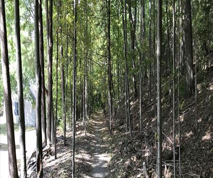
Monument Mountain
The Berkshires
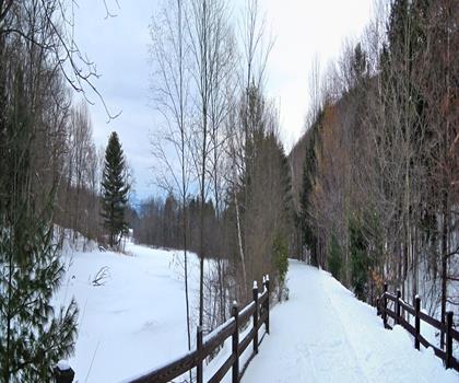
Ashuwillticook Rail Trail
The Berkshires

Thousand Acre Swamp
The Berkshires
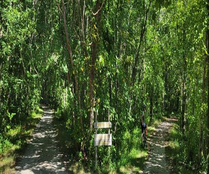
Lake Williams State Park
The Berkshires
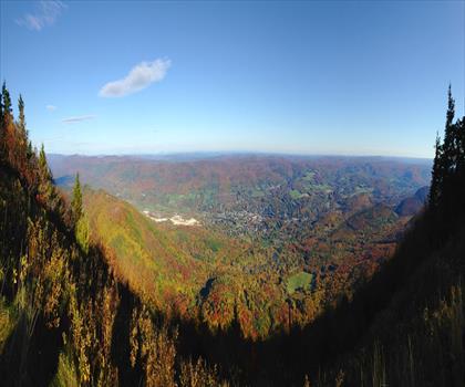
Mount Greylock State Reservation
The Berkshires
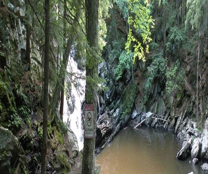
Wahconah Falls State Park
The Berkshires
Hiking near Albany
0 trails to explore ~49 km away
We work hard to provide the most up-to-date and error-free data possible. If something seems incorrect, let us know! Your contribution helps the whole community.
Hikers' opinions
Be the first to review!
No hiker has shared their experience yet. Share your impressions and help other hikers!