


Ready to explore Toms River? Here's everything you need to know before you go!
Discover the trail
Oh no! We don't have any photos 😢
This trail hasn't been captured yet. Be the first to share your adventure!Trail description
The Toms River, formerly Tom's River, is a 41.7-mile-long (67.1 km) freshwater river and estuary in Ocean County, New Jersey in the United States.
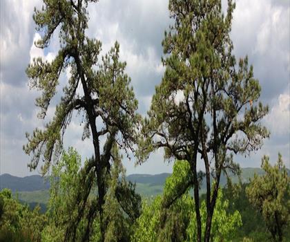
The Toms River rises in the Pine Barrens of northern Ocean County and flows southeast and east, fed by several branches, in a meandering course through wetland area and empties into Barnegat Bay, an inlet of the Atlantic Ocean. The lower 5 mi (8 km) of the river is a broad tidal estuary navigable within the community of Toms River. The lowest reaches of the river provide convenient locations for marinas and yacht clubs and excellent points from which to go fishing and crabbing. Canoeing and kayaking are also popular pursuits on the Toms. The river can be paddled for 21.7 miles (34.9 km) from Don Connor Boulevard below Route 528 all the way to Barnegat Bay.
In the 1960s, the lower river was found to have been polluted for many years from the open discharge of waste from a Ciba Geigy dye manufacturing plant. This was considered to have been the cause of a cancer cluster of leukaemia in the Toms River township that led to multimillion-dollar compensation payments to the families involved. There is a 'great deal of uncertainty' as to whether the pollution was a causal factor in the cancer cluster. A 2014 Pulitzer Prize winning book, "Toms River: A Story of Science and Salvation," examined the issue in detail. Recent public-private coalitions to restore the river and to purchase and preserve the wetland areas near its source in the Pinelands have resulted in an increase in water quality.
The Toms River was known as Goose Creek until it was renamed in the early 18th century either for English captain William Toms, farmer and ferryman Thomas Luker, or a Native American named Tom. The settlement that was founded in 1712 along the river subsequently took the name as well.
Free
1 pages
The Essential Hiking Checklist
Everything you need for your next hike. Bilingual, printable, 1 page.
Get your free hiking checklistRecommended gear for this trail
As an Amazon Associate I earn from qualifying purchases.
LGPO Pick

Salomon
Elixir Tour Mid WP
Waterproof mid-height boot ideal for rocky terrain
203.38 $


Affiliate links — LGPO may earn a commission at no extra cost to you.
Ready to go?
Everything you need to know before you goWhen?
Opening hours
No information
Varies by season
Best season
Fall
Spectacular colors
Best time
Early morning
Less crowded
Weather (next days)
Loading
How much?
Entry fees
Adult
Not available
Child
—
What to bring?
As an Amazon Associate I earn from qualifying purchases.
Affiliate links — LGPO may earn a commission at no extra cost to you.
Gear
- Hiking shoes Essential
- → Salomon Elixir Tour Mid WP · 203.38 $
- Layered clothing Essential
- Rain jacket Essential
- Trekking poles
- → Black Diamond Trail Ergo Cork · 69.99 $
- Headlamp
- → Petzl Actik Core 625 · 103.95 $
Water & food
2L minimum
No water point on the trail
Bring energy snacks for a 4h+ hike
Good to know
Safety
Download the GPX before you go
Limited cellular coverage on the trail
Slippery after rain
Be careful on rocky sections
In an emergency
Emergency
911
Parking GPS
39.95, -74.196741
Center
Not available
FAQ - Frequently asked questions
Everything you need to knowToms River is rated moderate.
The elevation gain of Toms River is 244 m.
Allow about 2h10 for Toms River (6.3 km).
No, Toms River has no visitor centre on site.
Didn't find your answer?
Similar hikes nearby
Discover other trails you might enjoy
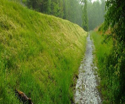
Watchung white purple trails
Northern New Jersey
6.4 km
2h00
79 m
Beginner

Mt Cecchino
Northern New Jersey
3.2 km
1h30
183 m
Intermediate
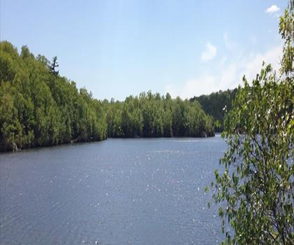
Van Slyke Castle
Northern New Jersey
3.2 km
1h15
205 m
Beginner
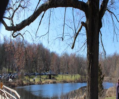
Loantaka Park
Northern New Jersey
4.8 km
1h15
9 m
Beginner
🐕
Dog allowed
Hacklebarney Hiking Trail
Northern New Jersey
3.2 km
1h15
103 m
Beginner
🐕
Dog allowed
Ramapo Mountain State Forest
Northern New Jersey
32 km
9h30
236 m
Intermediate
Top 10 best hiking in Northern New Jersey
Our ranking based on hiker reviews
Hiking near Trenton
0 trails to explore ~55 km away
Did you spot an error?
We work hard to provide the most up-to-date and error-free data possible. If something seems incorrect, let us know! Your contribution helps the whole community.
Hikers' opinions
Be the first to review!
No hiker has shared their experience yet. Share your impressions and help other hikers!