
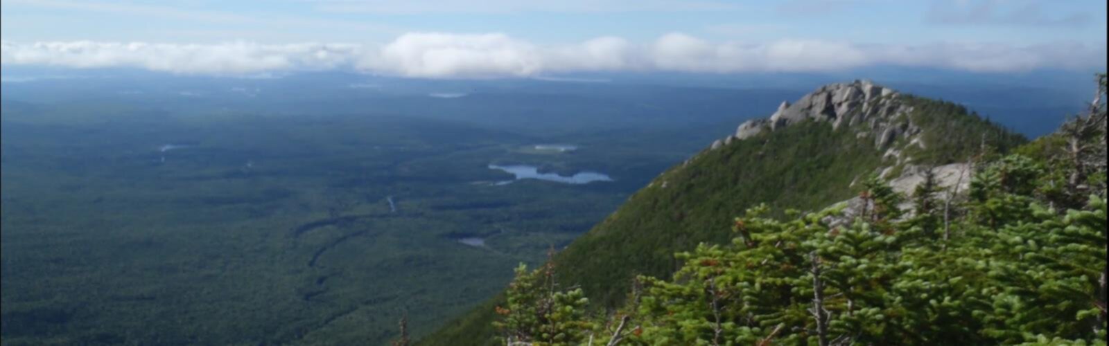

Ready to explore Doubletop Mountain, New York? Here's everything you need to know before you go!
Discover the trail
Oh no! We don't have any photos 😢
This trail hasn't been captured yet. Be the first to share your adventure!Trail description
Doubletop Mountain rises to 3,860 feet in the heart of the Catskills, offering one of the region's most challenging and rewarding hiking experiences. This unmarked peak requires bushwhacking skills and serious navigation abilities, making it a true test for experienced hikers seeking adventure beyond the typical trail system. As part of the prestigious Catskill 3500 Club peaks, Doubletop attracts dedicated peak-baggers working to conquer all 35 summits above 3,500 feet in the region.
The 22-kilometer round trip involves 1,177 meters of elevation gain and typically takes 6 to 8 hours to complete. This isn't a casual day hike—the very hard difficulty rating reflects both the physical demands and technical navigation required. Dense forest cover blankets the entire route, creating a true wilderness experience where you'll rely entirely on your map and compass skills to find your way.
The Bushwhacking Challenge
Unlike most Catskill peaks, Doubletop Mountain has no marked trail to its summit. From the moment you leave established paths, you'll be pushing through thick forest, navigating around fallen trees, and choosing your own route up the mountainside. The terrain varies from gentle slopes covered in leaf litter to steep sections where you'll need to carefully pick your way between boulders and dense undergrowth.
The lack of a clear path means every ascent becomes a unique adventure. You might find yourself following old herd paths that peter out, or discovering game trails that lead in promising directions before disappearing entirely. This uncertainty is exactly what draws seasoned hikers to Doubletop—it's a mountain that demands respect and rewards those who come prepared.
Forest Environment and Wildlife
The dense forest canopy creates a cathedral-like atmosphere as you climb, with towering hardwoods and conifers filtering sunlight into dappled patterns on the forest floor. White-tailed deer move silently through these woods, often appearing suddenly before bounding away through the trees. The melodic calls of songbirds echo through the canopy, providing a natural soundtrack to your ascent.
Spring brings an explosion of wildflowers to the forest floor, adding vibrant colors to the predominantly green landscape. Summer hiking means full leaf cover and potentially challenging visibility for navigation, while autumn transforms the entire mountainside into a spectacular display of reds, oranges, and yellows. The seasonal changes dramatically alter the character of the hike, making Doubletop a different experience each time you visit.
Summit Experience and Views
Reaching Doubletop's summit feels like a genuine accomplishment after hours of pathfinding through dense forest. The panoramic views stretch across the entire Catskill range, with clear days offering sight lines to Slide Mountain and other prominent peaks. These vistas provide the perfect reward for the challenging ascent and give you a chance to rest and refuel before the equally demanding descent.
The summit area itself maintains the wild character of the entire mountain. There are no facilities, signs, or developed viewpoints—just the raw satisfaction of standing atop one of the Catskills' most challenging peaks. The sense of accomplishment here differs markedly from reaching summits via established trails, as you've truly earned every foot of elevation through your own navigation and route-finding skills.
Connection to Nearby Peaks
Doubletop Mountain sits alongside other challenging peaks like South Doubletop and Graham Mountain, all recognized by the Catskill 3500 Club. The nearby Millbrook Ridge offers additional trails that provide stunning views and connect to other parts of this wilderness area, creating opportunities for extended hiking adventures. These interconnected paths and ridgelines allow experienced hikers to plan multi-day adventures or tackle several peaks in a single challenging outing.
While the Catskills are often compared to the Adirondacks for natural beauty and hiking challenges, this region maintains its own distinct character. The dense forest cover, the emphasis on bushwhacking skills, and the intimate scale of the mountains create a uniquely Catskill experience that draws hikers from across the Northeast.
Essential Preparation and Navigation
Success on Doubletop Mountain depends entirely on proper preparation and navigation skills. A detailed topographic map and compass are absolutely essential—GPS devices provide helpful backup, but shouldn't be your primary navigation method. Practice your bushwhacking and route-finding skills on easier unmarked peaks before attempting Doubletop, as the consequences of getting lost here can be serious.
Weather conditions change rapidly in the mountains, so dress in layers and pack extra clothing regardless of the forecast. The dense forest provides some protection from wind and precipitation, but temperatures can drop significantly with elevation gain. Bring plenty of water and high-energy snacks, as the physical demands of bushwhacking burn calories quickly and the challenging terrain makes for slow going.
Plan for a full day on the mountain, even if you're an experienced hiker. The combination of difficult terrain, navigation challenges, and significant elevation gain means this hike takes considerably longer than the same distance on established trails. Start early to ensure you have plenty of daylight for both ascent and descent, as finding your way down unmarked terrain in darkness presents serious safety risks.
The Essential Hiking Checklist
Everything you need for your next hike. Bilingual, printable, 1 page.
Get your free hiking checklistRecommended gear for this trail
As an Amazon Associate I earn from qualifying purchases.


Ready to go?
Everything you need to know before you goStarting Point
To access the hiking trails, you can start at the Seager Trailhead. The parking area is located at the end of Dry Brook Road in Arkville, NY. Another option is the Mill Brook Ridge Trailhead, which can be accessed from the parking area on Mill Brook Road near Balsam Lake Mountain. Both trailheads provide entry points to explore the area.
When?
How much?
As an Amazon Associate I earn from qualifying purchases.
Affiliate links — LGPO may earn a commission at no extra cost to you.
- Hiking shoes Essential
- → Salomon Elixir Tour Mid WP · 203.38 $
- Layered clothing Essential
- Rain jacket Essential
- Trekking poles
- → Black Diamond Trail Ergo Cork · 69.99 $
- Headlamp
- → Petzl Actik Core 625 · 103.95 $
FAQ - Frequently asked questions
Everything you need to knowSimilar hikes nearby
Discover other trails you might enjoy

Old Mill Falls
Catskills
Catskill Scenic Trail
Catskills
Cliff Lake
Catskills
Plattekill Falls
Catskills
Ashokan Reservoir
Catskills
Devil's Path Trail
Catskills
Hiking near Poughkeepsie
0 trails to explore ~62 km away
We work hard to provide the most up-to-date and error-free data possible. If something seems incorrect, let us know! Your contribution helps the whole community.
Hikers' opinions
Be the first to review!
No hiker has shared their experience yet. Share your impressions and help other hikers!