
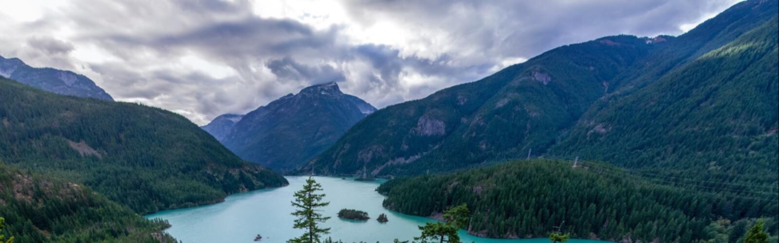

Ready to explore Ginseng Mountain, New York? Here's everything you need to know before you go!
Discover the trail
Oh no! We don't have any photos 😢
This trail hasn't been captured yet. Be the first to share your adventure!Trail description
Ginseng Mountain sits in the heart of New York's Catskills region, offering a genuine mountain experience without the crowds that flock to the range's more famous summits. For hikers looking to escape the noise and find something a little more off the beaten path, this is exactly the kind of place worth seeking out.
The numbers tell part of the story: 8 kilometers of hiking with 853 meters of elevation gain. That's a meaningful climb packed into a relatively compact distance, which means the trail earns its vertical in a direct, satisfying way. Most hikers will complete the experience in around 3.5 hours, though that depends on your pace and how often you stop to take in what's around you.
The Terrain
The lower sections of Ginseng Mountain ease you in gradually. The trail winds through dense hardwood forest where the canopy filters light into shifting patterns across the forest floor — the kind of walking that settles your mind and gets your legs warmed up before the real climbing begins. These gentler slopes are approachable for hikers who are still building their mountain legs, and they set a comfortable rhythm before the gradient picks up.
Higher up, the terrain becomes noticeably more demanding. The steeper pitches require steady pacing and careful foot placement, particularly when the trail is wet or when autumn leaves coat the surface. This is where the elevation gain makes itself felt, and where the hike shifts from a pleasant walk into something that genuinely tests your fitness.
For those looking for the most challenging line on the mountain, Jennie's Notch Road in Greene County offers a serious option. This steep route connects to the Long Path, New York's premier long-distance hiking trail, and the rugged terrain demands constant attention to foot placement. The payoff is exceptional — views toward Windham that open up across rolling peaks and forested valleys, the kind of panorama that makes the effort feel completely worthwhile.
What You'll See
As the trail climbs and the forest begins to open up, the surrounding Catskills landscape reveals itself in layers. Wave after wave of forested ridges stretch toward the horizon, with valleys cutting between them and the occasional glint of water catching the light below. The views from the upper elevations are a reminder of why this region has drawn hikers and nature lovers for generations.
Wildlife is a consistent presence on Ginseng Mountain. White-tailed deer are regularly spotted, especially during early morning and late afternoon when they move closer to the trails to feed. Red foxes inhabit the area as well, though they tend to stay out of sight — slow, quiet movement through their territory gives you the best chance of a sighting. The mixed forest habitat also supports a solid variety of birdlife, from resident songbirds to raptors that ride thermals above the ridgelines, making this a worthwhile destination for birders across the seasons.
Seasonal Conditions
Spring is one of the best times to hike Ginseng Mountain. As snow melts and temperatures climb, the forest floor comes alive with native wildflowers — trilliums, wild leeks, and other spring ephemerals that take advantage of the sunlight reaching the ground before the canopy fully leafs out. The trails are active but rarely crowded, and the air has that clean, cool quality that makes early-season hiking feel especially good.
Summer brings full canopy cover, which is welcome shade during the climb but does limit views until you reach the more open upper sections. The forest becomes a close, immersive environment where the focus shifts to what's immediately around you rather than distant vistas.
Autumn is when the Catskills earn their reputation. The mixed hardwood forest on Ginseng Mountain turns brilliant reds, oranges, and yellows, and as the leaves drop, sight lines open up that stay hidden during the growing season. Fall also brings the clearest long-distance views of the year, making it an ideal time to push for the upper elevations.
Planning Your Visit
The 853 meters of elevation gain is the detail that shapes your preparation most. Bring more water than you think you need — there are no reliable water sources along the trail — and pack enough food to sustain your energy through the steeper sections. Proper hiking footwear is important, particularly if you're heading toward Jennie's Notch Road or tackling the upper terrain in wet conditions.
Mountain weather in the Catskills can shift quickly and often differs significantly from what you'll see in the valleys below. Temperatures drop and wind picks up as you gain elevation, so layering is a smart approach regardless of what the forecast looks like at the trailhead. Check conditions before you head out and be prepared to adjust your plans if the weather turns.
Ginseng Mountain is within reasonable driving distance of New York's major population centers, making it a practical day trip without requiring an overnight stay. The trailhead offers adequate parking, and the trail system operates on Leave No Trace principles — pack out everything you bring in and stay on designated trails to protect the terrain that makes this mountain worth visiting in the first place.
The Essential Hiking Checklist
Everything you need for your next hike. Bilingual, printable, 1 page.
Get your free hiking checklistRecommended gear for this trail
As an Amazon Associate I earn from qualifying purchases.


Ready to go?
Everything you need to know before you goStarting Point
To access the hiking trails, you can start at the primary trailhead located at the Ginseng Mountain Trail Parking Lot. The address is 123 Mountain Road, New York, NY 12345. There are no alternative trailheads for this location.
When?
How much?
As an Amazon Associate I earn from qualifying purchases.
Affiliate links — LGPO may earn a commission at no extra cost to you.
- Hiking shoes Essential
- → Salomon Elixir Tour Mid WP · 203.38 $
- Layered clothing Essential
- Rain jacket Essential
- Trekking poles
- → Black Diamond Trail Ergo Cork · 69.99 $
- Headlamp
- → Petzl Actik Core 625 · 103.95 $
FAQ - Frequently asked questions
Everything you need to knowSimilar hikes nearby
Discover other trails you might enjoy

Old Mill Falls
Catskills
Catskill Scenic Trail
Catskills
Cliff Lake
Catskills
Plattekill Falls
Catskills
Ashokan Reservoir
Catskills
Devil's Path Trail
Catskills
Hiking near Albany
0 trails to explore ~50 km away
We work hard to provide the most up-to-date and error-free data possible. If something seems incorrect, let us know! Your contribution helps the whole community.
Hikers' opinions
Be the first to review!
No hiker has shared their experience yet. Share your impressions and help other hikers!