
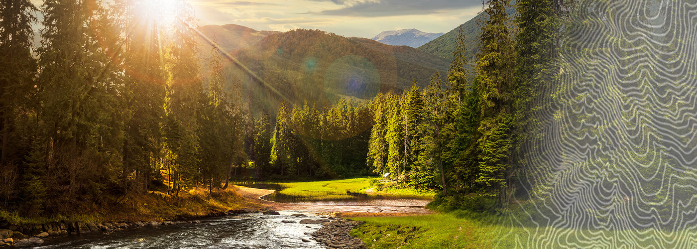

Ready to explore John Muir Trail Tennessee? Here's everything you need to know before you go!
Discover the trail
Oh no! We don't have any photos 😢
This trail hasn't been captured yet. Be the first to share your adventure!Trail description
The John Muir Trail in Tennessee is one of East Tennessee's most historically significant and scenically rewarding hiking corridors. Named after the legendary naturalist and conservationist John Muir, this trail follows a route that Muir himself walked in 1867 during his famous thousand-mile walk from Indiana to the Gulf of Mexico. Hiking here means walking in the footsteps of one of America's most influential voices for wilderness preservation — and the landscape itself makes that connection feel very real.
The Trail Experience
The Tennessee section of the John Muir Trail winds through the rugged terrain of the Cherokee National Forest in East Tennessee, tracing the Hiwassee River corridor. This is not a manicured, heavily developed trail system — it has a raw, backcountry character that rewards hikers who appreciate solitude and natural scenery over convenience. The trail hugs the banks of the Hiwassee River for much of its length, offering consistent access to one of the most beautiful rivers in the Southern Appalachians.
The Hiwassee River is a defining feature of this hike. The water is clear, cold, and fast-moving in sections, with wide gravel bars and deep pools that make the river feel alive. You'll cross it in places, navigate rocky shorelines, and spend long stretches walking just above the waterline. The sound of moving water is your constant companion.
Terrain and Landscape
The terrain along the John Muir Trail in Tennessee is varied and keeps things interesting throughout. You'll move through dense hardwood forest dominated by oaks, maples, hemlocks, and tulip poplars. The forest canopy is thick enough in most sections to provide good shade, and the understory is lush with rhododendron and mountain laurel — particularly striking when in bloom.
The trail alternates between flat riverside stretches and more demanding sections that climb away from the river onto hillside terrain. Some portions involve rocky footing and root-covered paths, so solid footwear is important. There are areas where the trail narrows considerably and requires attention, especially after rain when surfaces can become slippery.
The Hiwassee River Gorge adds a dramatic quality to the landscape. The gorge walls rise steeply on either side in places, creating a sense of enclosure and wildness that's hard to find on more accessible trails. Wildlife is present throughout — expect to see or hear a wide variety of birds, and the river supports healthy populations of trout.
Historical Context
What sets this trail apart from most hiking routes in the region is its direct connection to John Muir's 1867 journey. Muir passed through this part of Tennessee as a young man, long before he became famous for his work in Yosemite and his role in founding the Sierra Club. He documented his travels in his journal, later published as A Thousand-Mile Walk to the Gulf. Walking this trail gives you a tangible link to that journey and to the broader story of American conservation.
The Cherokee National Forest, which surrounds much of the trail, has its own layered history — from Indigenous use of these lands to the establishment of the national forest in the early twentieth century. The landscape you're moving through has been shaped by all of it.
Practical Information
The John Muir Trail in Tennessee is managed within the Cherokee National Forest. Access points exist at multiple trailheads along the Hiwassee River corridor, giving hikers flexibility in how they approach the route. The trail can be done as a point-to-point with a vehicle shuttle, or hikers can choose out-and-back sections depending on their goals and available time.
- Terrain: Mixed — flat riverside sections combined with hillside climbs, rocky and rooted in places
- Water access: The Hiwassee River runs alongside much of the trail; treat all water before drinking
- Forest type: Southern Appalachian hardwood forest with rhododendron and mountain laurel understory
- Wildlife: Diverse birdlife, trout in the river, and typical forest fauna of East Tennessee
- Managed by: Cherokee National Forest (USDA Forest Service)
What to Know Before You Go
This trail is not heavily trafficked compared to more popular destinations in the Smokies, which is part of its appeal. You're unlikely to deal with crowded parking lots or trail congestion. That said, the relative remoteness means you should come prepared. Cell service is limited or nonexistent along much of the route, so download offline maps before you leave.
The river crossings deserve respect. Water levels on the Hiwassee can rise quickly after rainfall, and what looks like a manageable ford in dry conditions can become dangerous after a storm. Check conditions before heading out and be willing to adjust your plans if the water is running high.
Footwear matters here. The combination of rocky terrain, root-covered paths, and potential wet crossings makes a sturdy, ankle-supporting hiking boot a better choice than trail runners for most hikers. Trekking poles are useful on the hillier sections and for stability during any water crossings.
Because the trail runs through Cherokee National Forest, standard national forest rules apply. Leave No Trace principles are expected, and camping is generally permitted in dispersed areas unless otherwise posted. There are no fees to hike the trail itself, though some trailhead parking areas may have a day-use fee — confirm current conditions with the Cherokee National Forest before your visit.
Who This Trail Is For
The John Muir Trail in Tennessee suits hikers who want a genuine backcountry experience in East Tennessee without the crowds of the Great Smoky Mountains. It's a good fit for people who appreciate historical context alongside their outdoor time, and for anyone drawn to river-based hiking where the water is as much a part of the experience as the forest. The varied terrain means it works for intermediate hikers comfortable with uneven footing, and sections of it are accessible enough for beginners willing to take their time on the rockier stretches.
If you're looking for a trail that connects you to both the natural beauty of the Southern Appalachians and a meaningful piece of American conservation history, the John Muir Trail in Tennessee delivers on both counts.
The Essential Hiking Checklist
Everything you need for your next hike. Bilingual, printable, 1 page.
Get your free hiking checklistRecommended gear for this trail
As an Amazon Associate I earn from qualifying purchases.


Ready to go?
Everything you need to know before you goWhen?
How much?
As an Amazon Associate I earn from qualifying purchases.
Affiliate links — LGPO may earn a commission at no extra cost to you.
- Hiking shoes Essential
- → Salomon Elixir Tour Mid WP · 203.38 $
- Layered clothing Essential
- Rain jacket Essential
- Trekking poles
- → Black Diamond Trail Ergo Cork · 69.99 $
- Headlamp
- → Petzl Actik Core 625 · 103.95 $
FAQ - Frequently asked questions
Everything you need to knowSimilar hikes nearby
Discover other trails you might enjoy

Hinch Mountain, Tennessee
East Tennessee
Alexander Knob, Tennessee
East Tennessee
Mount Chapman, North Carolina_Tennessee
East Tennessee
Cosby Knob, North Carolina_Tennessee
East Tennessee
Tricorner Knob, Tennessee_North Carolina
East Tennessee
Mount Collins, North Carolina_Tennessee
East Tennessee
Hiking near Sydney
22 trails to explore ~7574 km away
We work hard to provide the most up-to-date and error-free data possible. If something seems incorrect, let us know! Your contribution helps the whole community.
Hikers' opinions
Be the first to review!
No hiker has shared their experience yet. Share your impressions and help other hikers!