
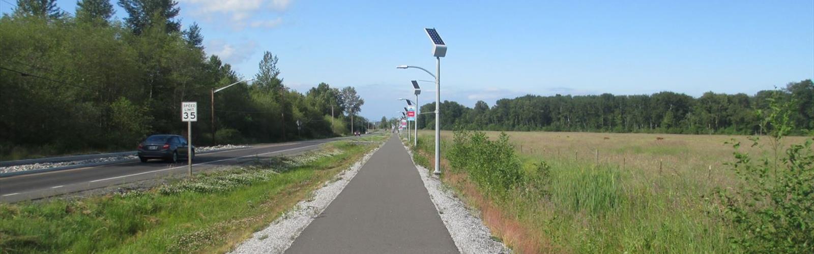

Ready to explore Lummi River? Here's everything you need to know before you go!
Discover the trail
1
community photos
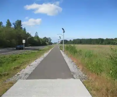
Photos: Robert Ashworth from Bellingham, WA., USA — CC BY 2.0 (Wikimedia Commons)
Trail description
The Lummi River is the current name for a river channel that was, prior to the beginning of the 20th century, the main outflow channel for the Nooksack River, emptying into Lummi Bay rather than Bellingham Bay, as the current channel of the Nooksack River does. At the time, the channel that currently serves as the main channel of the Nooksack River was restricted by a massive, mile-long, log jam.
In the late 19th century, with an interest in creating a navigable waterway that would empty into Bellingham Bay and be usable beyond Ferndale, the city of Bellingham commissioned the removal of the log jam. Once the log jam was removed the river's flow shifted into the southern channel, and the headwaters of the Lummi River were restricted by a dam, which was later damaged, then replaced by a dam and spillway system, which was also later damaged. Today the Lummi River is currently only fed by water from the Nooksack River during times of high water by a culvert that passes through the levee.
The Lummi River today is characterized by a narrow channel. As its main purpose is now as a high water overflow, it has been artificially channelized and diked to prevent flooding or surrounding fields. It has a low as a result of its short course across glacially ploughed flatlands. The considerable reduction in the flow of the river has allowed erosive processes to strongly affect the Lummi River Delta, which was, formerly, of considerable size, and might have been comparable to the modern Nooksack River Delta in Bellingham Bay.
The channelization and diking of the river resulted in significant new areas of rich farmland, but at the expense of the elimination of an equal or greater acreage of coastal wetlands and damage to salmon habitats. Currently there are proposals investigating restoration of these habitats.
Free
1 pages
The Essential Hiking Checklist
Everything you need for your next hike. Bilingual, printable, 1 page.
Get your free hiking checklistRecommended gear for this trail
As an Amazon Associate I earn from qualifying purchases.
LGPO Pick

Salomon
Elixir Tour Mid WP
Waterproof mid-height boot ideal for rocky terrain
203.38 $


Affiliate links — LGPO may earn a commission at no extra cost to you.
Ready to go?
Everything you need to know before you goWhen?
Opening hours
No information
Varies by season
Best season
Fall
Spectacular colors
Best time
Early morning
Less crowded
Weather (next days)
Loading
How much?
Entry fees
Adult
Not available
Child
—
What to bring?
As an Amazon Associate I earn from qualifying purchases.
Affiliate links — LGPO may earn a commission at no extra cost to you.
Gear
- Hiking shoes Essential
- → Salomon Elixir Tour Mid WP · 203.38 $
- Layered clothing Essential
- Rain jacket Essential
- Trekking poles
- → Black Diamond Trail Ergo Cork · 69.99 $
- Headlamp
- → Petzl Actik Core 625 · 103.95 $
Water & food
2L minimum
No water point on the trail
Bring energy snacks for a 4h+ hike
Good to know
Safety
Download the GPX before you go
Limited cellular coverage on the trail
Slippery after rain
Be careful on rocky sections
In an emergency
Emergency
911
Parking GPS
48.8252, -122.6207285
Center
Not available
FAQ - Frequently asked questions
Everything you need to knowAllow about 1 hour for Lummi River (5 km).
No, Lummi River has no visitor centre on site.
Didn't find your answer?
Similar hikes nearby
Discover other trails you might enjoy
Lake Chelan
Columbia Plateau
15min
294 m
Beginner
Washington Park Trail
Columbia Plateau
5 KM
2h15
230 m
Intermediate
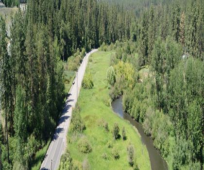
Little Spokane River
Columbia Plateau
12 KM
2 hours
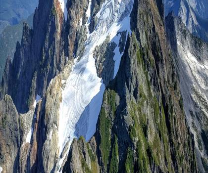
Mountain Loop Highway
Columbia Plateau
126 KM
2.5 hours

Mirror Lakes Trail
Columbia Plateau
15 KM
30 m
wa 4
Columbia Plateau
23.8 KM
71 M
Top 10 best hiking in Columbia Plateau
Our ranking based on hiker reviews
Hiking near Vancouver
235 trails to explore ~63 km away
Did you spot an error?
We work hard to provide the most up-to-date and error-free data possible. If something seems incorrect, let us know! Your contribution helps the whole community.
Hikers' opinions
Be the first to review!
No hiker has shared their experience yet. Share your impressions and help other hikers!