
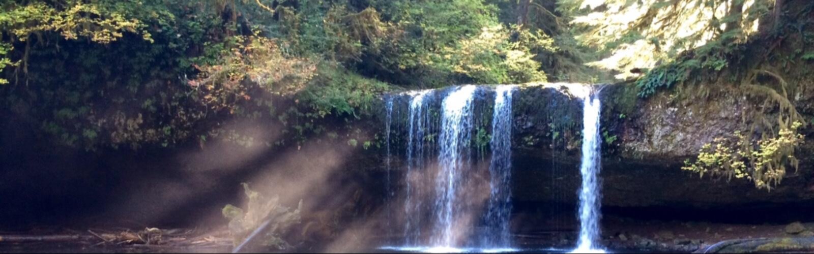
Ready to explore Oregon Butte Trail? Here's everything you need to know before you go!
Discover the trail

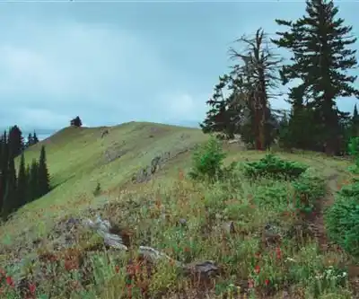
Trail description
Oregon Butte is a summit in Columbia County, Washington (USGS). According to the USFS, elevations in the Wenaha-Tucannon Wilderness range from 2,000 ft on the Wenaha River to 6,401 ft at Oregon Butte. The wilderness covers 176,557 acres in the northern Blue Mountains of southeastern Washington and northeastern Oregon.
The trail
According to the USFS, Oregon Butte Trail (#3134) is about 3 miles from Teepee Trailhead to Oregon Butte. It crosses a ridge and a saddle with repeated climbs and descents; the last stretch, from the log water trough, climbs about ½ mile to the lookout. Hiking Project measures the round trip at 5.8 miles (9.3 km) with 1,443 ft (440 m) of ascent: those are the figures used on this page.
The lookout
According to TrailChick, the current L-4 gable-roof lookout was built in 1931 on a site established in 1914. A lightning fire on July 7, 2021 (the Turkey Tail and Green Ridge fires, managed as one) burned more than 40,000 acres and went over the summit; the lookout survived thanks to protective fire wrap and retardant drops. Hiking Project says the lookout is staffed from June to September.
When to go
The USFS lists a June through November season for this trail. The area is one of the first on the district to get snow, and the USFS warns that it is hazardous to get out of the trailhead when the snow arrives. It is heavily used during hunting seasons.
Access, fees and facilities
- Fee: $5 per vehicle at Teepee Trailhead (per day on the trailhead page, per night on the trail page), or a recreation pass such as the Northwest Forest Pass.
- Facilities: one vault toilet and no potable water. A stock trough is about 40 yards north, down the hill. According to the USFS, visitors pack out everything they pack in.
- Rules: the trail is maintained for foot and horse use; motorized and mechanized equipment, including mountain bikes and carts, is prohibited. Weed-free feed is required for stock animals.
- Trail conditions: trails are usually considered open, but snow and downed trees can block the path. The USFS suggests calling the Pomeroy Ranger District office for current information.
Services and amenities
The Essential Hiking Checklist
Everything you need for your next hike. Bilingual, printable, 1 page.
Get your free hiking checklistRecommended gear for this trail
As an Amazon Associate I earn from qualifying purchases.


Ready to go?
Everything you need to know before you goStarting Point
Teepee Trailhead (46.11828, -117.71485 according to the USFS), in the Umatilla National Forest. From Dayton, Washington: head south on 4th Street from Highway 12, turn east onto Eckler Mountain Road and follow it about 15 miles. At the stone monument at the Y, turn right onto Kendall Skyline Road 46 and drive 12 miles to Godman Guard Station. Below the station, turn left onto Forest Service Road 4608 and take all main right turns for 5 miles to the trailhead.
When?
As an Amazon Associate I earn from qualifying purchases.
Affiliate links — LGPO may earn a commission at no extra cost to you.
- Hiking shoes Essential
- → Salomon Elixir Tour Mid WP · 203.38 $
- Layered clothing Essential
- Rain jacket Essential
- Trekking poles
- → Black Diamond Trail Ergo Cork · 69.99 $
- Headlamp
- → Petzl Actik Core 625 · 103.95 $
FAQ - Frequently asked questions
Everything you need to knowAlternatives and suggestions
According to TrailChick, a 16-mile loop is possible from Panjab Trailhead. Teepee Trailhead also gives access to East Butte Trail (#3112), Mt. Misery Trail (#3113) and Turkey Creek Trail (#3136) in the Wenaha-Tucannon Wilderness, according to the USFS.
Similar hikes nearby
Discover other trails you might enjoy

Hiking near Kelowna
45 trails to explore ~441 km away
We work hard to provide the most up-to-date and error-free data possible. If something seems incorrect, let us know! Your contribution helps the whole community.
Hikers' opinions
Be the first to review!
No hiker has shared their experience yet. Share your impressions and help other hikers!