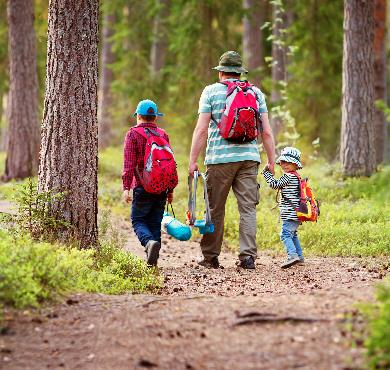

In the mountains, the difficulty of a hike isn't evaluated solely based on the number of kilometers traveled... You also need to add the criterion of altitude difference called elevation gain. And yes, the time it takes to cover 5 km on flat ground isn't the same as covering 5 km with 800 meters of elevation gain!
So, what is elevation gain?

Elevation gain is the altitude difference between two geographical points. For example, the start of your hike is located at an altitude of 1000 meters and the summit you want to reach is at 1800 meters, so you need to overcome 800 meters of positive elevation gain (difference between the highest and lowest point). Once at the summit, you'll of course need to descend, which means you'll have to overcome 800 meters of negative elevation gain.
This example illustrates the concept of overall vertical descent, but it doesn't account for all the ups and downs you actually need to perform. In fact, on most hiking routes, it's inevitable to descend a few meters and then climb back up. Let's take the following example to be clearer:
You start from point A, which is at 0 meters above sea level, and your goal is to climb to the summit of point F, which is at 1000 meters above sea level. You therefore have 1000 - 0 = 1000 meters of overall positive elevation gain. However, the path passes by lakes and through points B, C, D, and E. You go up and down several times before reaching the summit of point F. To know the actual altitude difference you'll cover, you need to add up all the ascents.
The cumulative elevation gain of the climbs is therefore:
- Elevation gain between points A and B = + 500 m
- Elevation gain between points C and D = + 500 m
- Elevation gain between points E and F = + 500 m
How to measure elevation difference?
There are different solutions to measure elevation gain on a hiking route. The first is to look at hiking guides. The total (cumulative) elevation gain is systematically mentioned in route descriptions.
The second is to use the good old IGN map at 1/25000 scale, which is the tool that gives you the most information thanks to contour lines. In geography, a contour line is a line formed by points that are at the same altitude. The distance between two contour lines varies from one map to another, but for 1/25th scale maps, it's generally 10 meters. Thus, the closer the contours are to each other, the steeper the slope.
It's therefore up to you to carefully calculate the sum of climbs and descents. To help you, thicker master contours indicate height every 50 meters (for maps where the spacing between two contours is 10 meters). Map reading is accessible to everyone, but requires certain orientation skills.

Newsletter
Content that makes you want to go outside
Every week, a trail idea, a reflection on nature, or a tip worth the detour. Zero spam. Only the essentials.
Joined by 12,000+ outdoor enthusiasts
Read next