


Ready to explore Siffleur Falls? Here's everything you need to know before you go!
Discover the trail
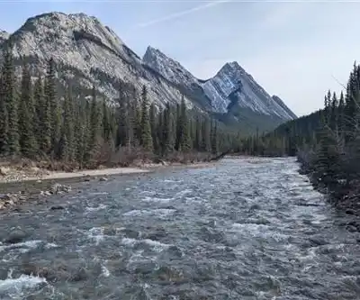
Trail description
Siffleur Falls is one of the more rewarding waterfall hikes in the Canadian Rockies — long enough to feel like a genuine day out, but without the brutal elevation gain that defines so many mountain trails. Located in the Kootenay Plains area along the David Thompson Highway (Highway 11), this out-and-back trail in David Thompson Country leads through varied terrain to a series of three distinct waterfalls carved into the limestone landscape. The trailhead sits just off Highway 11, making it a natural stop for anyone exploring the David Thompson Corridor.
What to Expect on the Trail
The hike covers 22 kilometres round trip with 1,400 metres of elevation gain, which puts it firmly in the hard category despite what the terrain might suggest at the start. Budget around 3.5 hours at a solid pace, though most hikers will want more time at the falls themselves.
The trail opens with one of its best moments right away: a suspension bridge crossing over the North Saskatchewan River. It's a proper highlight — the bridge sways underfoot while the river valley opens up below you and the surrounding peaks frame the view. Get your camera ready early.
Past the bridge, the trail moves into mixed forest — spruce, fir, and aspen — with the composition shifting gradually as you gain elevation. The path alternates between shaded forest sections and more open meadow crossings, which breaks up the rhythm nicely and gives you different views of the surrounding ridgelines. The meadow sections are also your best bet for spotting deer, elk, or birds moving through the area.
As you push further in, the trail gets progressively more rugged. The approach to the waterfall area involves rocky terrain that demands attention, especially if conditions are wet. You'll start hearing the falls well before you see them, which builds the anticipation in a satisfying way.
The Three Waterfalls
Siffleur Falls isn't a single drop — it's a sequence of three separate waterfalls, each with its own character. The first is the most accessible and offers a wide viewing area that works well for a rest stop or lunch break. It's an easy place to linger.
The second and third falls require more effort to reach, but they tend to be the more dramatic of the three. Each successive waterfall delivers higher drops and stronger water flow, and the limestone geology adds visual interest that you don't get in granite-dominated environments elsewhere in the Rockies. The rock formations and pools around the falls are worth taking time to explore.
Spring and early summer bring the highest water volumes as snowmelt pushes through the system, making the falls particularly powerful during that window. That said, they hold their appeal throughout the hiking season.
Gear and Preparation
At 22 kilometres with 1,400 metres of gain, this isn't a casual stroll. Sturdy hiking boots with solid ankle support and good traction are essential — the limestone near the falls gets genuinely slippery when wet or misted, and the consequences of a slip on that terrain are real. Trekking poles are worth bringing for the rockier sections on the approach to the falls.
Carry enough water and food for a full day out. The elevation gain is spread over the distance, so the gradient never feels extreme, but the cumulative effort adds up. Dress in layers — the forested sections run noticeably cooler than the open meadows, and mountain weather in this part of Alberta can shift without much warning.
Ecological Reserve and Leave No Trace
Siffleur Falls sits within the Kootenay Plains Ecological Reserve, which reflects the genuine ecological sensitivity of the area. The reserve protects unique plant communities and provides habitat for wildlife that depends on this landscape. That designation comes with real responsibilities for visitors.
Stay on the designated trail throughout — the vegetation here is fragile and erosion from off-trail travel adds up quickly. Pack out everything you bring in, including food scraps. Keep your distance from any wildlife you encounter, and don't feed animals under any circumstances.
Peak summer weekends can bring noticeable crowds to the trailhead and the lower falls. An early start helps on both counts — you'll beat the bulk of the traffic and have better light for photography in the morning hours.
Getting There
The trailhead is located off Highway 11 (David Thompson Highway) in the Kootenay Plains area of Alberta, within reasonable driving distance of Nordegg. The highway access makes this one of the more straightforward backcountry-adjacent hikes in the region to reach without a long approach road.
Recommended gear for this trail
As an Amazon Associate I earn from qualifying purchases.


Ready to go?
Everything you need to know before you goStarting Point
The siffleur falls are located in the Rocky Mountains, in Alberta, Canada. The easiest way to get there is to drive from Edmonton, which is about a three-hour drive.
When?
How much?
As an Amazon Associate I earn from qualifying purchases.
Affiliate links — LGPO may earn a commission at no extra cost to you.
- Hiking shoes Essential
- → Salomon Elixir Tour Mid WP · 203.38 $
- Layered clothing Essential
- Rain jacket Essential
- Trekking poles
- → Black Diamond Trail Ergo Cork · 69.99 $
- Headlamp
- → Petzl Actik Core 625 · 103.95 $
FAQ - Frequently asked questions
Everything you need to know
25 hikes under 2 hours from Montreal
Distance, elevation, parking and season for each one. The ones we go back to ourselves.
Get the guideSimilar hikes nearby
Discover other trails you might enjoy
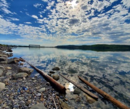
Ghost Lake
West Country
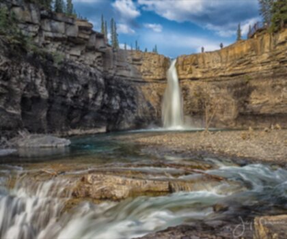
Crescent Falls
West Country
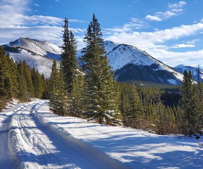
Hummingbird Falls
West Country

Brazeau Reservoir Loops
West Country
Crimson Lake
West Country
Fish Lake Campground
West Country
Hiking near Banff
187 trails to explore ~111 km away
We work hard to provide the most up-to-date and error-free data possible. If something seems incorrect, let us know! Your contribution helps the whole community.
Hikers' opinions
Be the first to review!
No hiker has shared their experience yet. Share your impressions and help other hikers!