
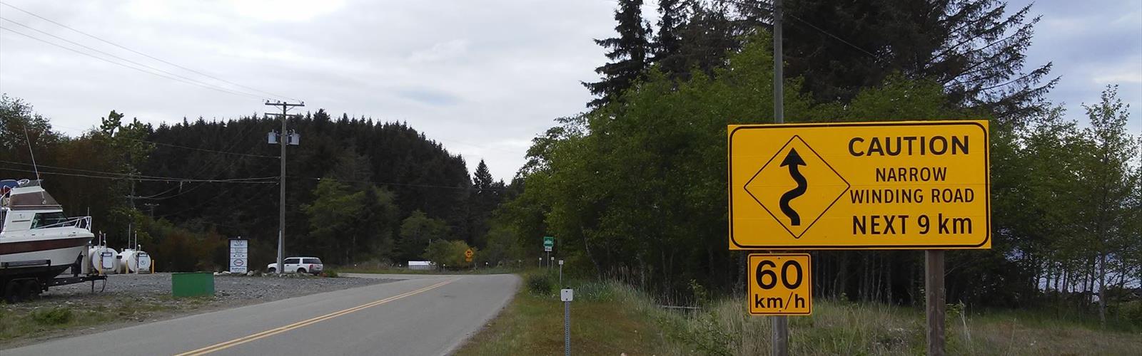

Ready to explore Haida Gwaii? Here's everything you need to know before you go!
Discover the trail
Trail description
Haida Gwaii is one of those places that stops you in your tracks the moment you step off the ferry. An archipelago of more than 150 islands sitting off the northwest coast of British Columbia, it sits apart — geographically, ecologically, and culturally — from just about everywhere else in Canada. For hikers, that separation is exactly the point. This is remote, old-growth wilderness shaped by the Pacific, by time, and by the Haida Nation, whose presence here stretches back thousands of years.
Getting here takes intention. You're crossing the Hecate Strait, which means planning around ferry schedules or small aircraft. But that effort filters out the casual visitor, and what you get on the other side is a landscape that feels genuinely untouched — dense Sitka spruce and western red cedar, fog rolling in off the ocean, beaches that go on for kilometers without a soul in sight.
The Landscape
Haida Gwaii's terrain is shaped by the collision of rainforest and ocean. The islands receive significant rainfall, which feeds some of the largest old-growth trees in Canada. Walking through the forest here means moving through a cathedral of ancient Sitka spruce, western hemlock, and red cedar — trees that have been growing for centuries, draped in moss, with root systems that sprawl across the forest floor like something out of a storybook.
The coastline is equally dramatic. Rocky headlands give way to long sandy beaches, tidal flats, and sheltered inlets. The interior of the larger islands — Graham Island in the north and Moresby Island in the south — offers a mix of boggy lowlands, river valleys, and forested ridges. Elevation is modest compared to the mainland Rockies, but the terrain can be rugged, wet, and demanding in its own way.
Gwaii Haanas National Park Reserve, National Marine Conservation Area Reserve, and Haida Heritage Site covers the southern portion of the archipelago and is jointly managed by the Haida Nation and Parks Canada. It's one of the most significant protected areas in the country, and visiting it requires advance registration and a mandatory orientation session.
Hiking on Haida Gwaii
Trails here range from short interpretive walks near Skidegate and Queen Charlotte City to multi-day backcountry routes that require water travel to access. The network isn't as developed as what you'd find in a national park on the mainland — and that's part of the appeal. Many of the most rewarding experiences involve combining hiking with kayaking or boat access, particularly in Gwaii Haanas.
Some of the most visited hiking destinations include the ancient Haida village sites within Gwaii Haanas, such as SGang Gwaay (Anthony Island), a UNESCO World Heritage Site where standing totem poles and longhouse remains have been preserved in place. Reaching these sites typically involves a boat or kayak journey, followed by a guided walk with a Haida Watchmen — community members who live at the heritage sites during the summer season and share the history and protocols of the land.
On Graham Island, the North Beach area near Tow Hill offers accessible hiking along coastal bluffs and through old-growth forest. The Tow Hill trail itself leads to views over Hecate Strait and Naikoon Provincial Park, which protects a large section of the island's northeast corner, including long stretches of wild beach and boggy interior terrain.
Wildlife
Haida Gwaii has been isolated long enough to develop its own subspecies of several animals. The Haida Gwaii black bear is notably larger than its mainland counterpart. The islands also support large populations of Sitka black-tailed deer, bald eagles, and a remarkable diversity of seabirds. Offshore, you have a real chance of spotting humpback whales, orcas, Dall's porpoises, and sea lions depending on the season.
The intertidal zones are rich — sea stars, anemones, and an abundance of marine life that rewards anyone willing to slow down and look closely at the rocks at low tide.
Cultural Significance
You can't talk about hiking on Haida Gwaii without acknowledging that you're walking on Haida Gwaii — the traditional territory of the Haida people. The name itself reflects that: "Haida Gwaii" means "Islands of the People" in the Haida language. The archipelago was known as the Queen Charlotte Islands until 2010, when the name was officially changed to reflect Haida sovereignty and identity.
Visitors are expected to approach the land with respect. In Gwaii Haanas, this means completing the orientation, following Leave No Trace principles strictly, and engaging with the Haida Watchmen at heritage sites with genuine curiosity and humility. The Haida Nation's stewardship of this land is active and ongoing — not historical.
Practical Information
Access to Haida Gwaii is by BC Ferries from Prince Rupert to Skidegate (roughly an eight-hour crossing) or by small aircraft. The main communities — Queen Charlotte City, Skidegate, and Masset — offer basic services including accommodation, groceries, and fuel. Cell service is limited across much of the archipelago, so downloading offline maps and carrying a satellite communicator is strongly recommended for backcountry travel.
- Gwaii Haanas: Advance registration with Parks Canada is required. Visitor numbers are capped. The mandatory orientation takes place in Queen Charlotte City before you depart.
- Naikoon Provincial Park: No registration required for day use. Camping is available at designated sites.
- Haida Watchmen sites: Visits are guided by Haida Watchmen. Follow their lead on protocols, photography, and movement through the sites.
- Weather: The islands are wet and can be unpredictable year-round. Waterproof gear is non-negotiable, not optional.
- Bears: Black bears are present throughout the islands. Carry bear spray and practice proper food storage.
Getting the Most Out of Your Visit
Haida Gwaii rewards slow travel. The hikers who come away with the best experiences are the ones who build in extra days, stay flexible, and resist the urge to rush through a checklist. A week is a reasonable minimum if you want to explore both the north and south ends of the archipelago. Two weeks gives you time to get into Gwaii Haanas properly, spend a few nights on the water, and still have days to wander the beaches of Naikoon without feeling rushed.
Connecting with local outfitters and guides — many of them Haida-owned — adds depth to the experience and ensures your visit supports the community that has been caring for this place for millennia.
The Essential Hiking Checklist
Everything you need for your next hike. Bilingual, printable, 1 page.
Get your free hiking checklistRecommended gear for this trail
As an Amazon Associate I earn from qualifying purchases.


Ready to go?
Everything you need to know before you goWhen?
How much?
As an Amazon Associate I earn from qualifying purchases.
Affiliate links — LGPO may earn a commission at no extra cost to you.
- Hiking shoes Essential
- → Salomon Elixir Tour Mid WP · 203.38 $
- Layered clothing Essential
- Rain jacket Essential
- Trekking poles
- → Black Diamond Trail Ergo Cork · 69.99 $
- Headlamp
- → Petzl Actik Core 625 · 103.95 $
FAQ - Frequently asked questions
Everything you need to knowSimilar hikes nearby
Discover other trails you might enjoy

Mount Robson
Northern British Columbia
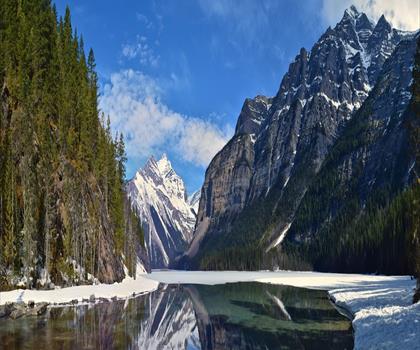
Kinney Lake
Northern British Columbia

Liard Hot Springs Lodge
Northern British Columbia
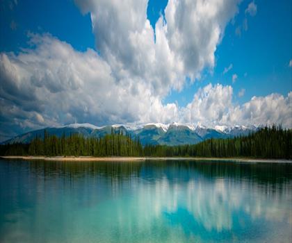
Boya Lake
Northern British Columbia
Kinuseo Falls
Northern British Columbia
Hudson Bay Mountain
Northern British Columbia
Hiking near Whistler
160 trails to explore ~705 km away
We work hard to provide the most up-to-date and error-free data possible. If something seems incorrect, let us know! Your contribution helps the whole community.
Hikers' opinions
Be the first to review!
No hiker has shared their experience yet. Share your impressions and help other hikers!