


Ready to explore Hells Highway? Here's everything you need to know before you go!
Discover the trail
Oh no! We don't have any photos 😢
This trail hasn't been captured yet. Be the first to share your adventure!Trail description
Hell's Highway is a trail located in the Kootenay Rockies region of British Columbia, Canada. The name alone tells you something about what you're getting into — this isn't a casual stroll through the woods. It's the kind of route that earns its reputation through rugged terrain, raw mountain scenery, and the satisfying sense that you've actually worked for the views you get.
What Makes Hell's Highway Stand Out
The Kootenay Rockies is one of British Columbia's most underrated outdoor destinations. While the crowds flock to more well-known corridors elsewhere in the province, this region rewards those willing to dig a little deeper. Hell's Highway fits right into that spirit — it's a trail for people who want genuine wilderness character without the lineup at the trailhead.
The terrain here reflects the broader landscape of the Kootenay Rockies: dramatic elevation changes, dense forest cover giving way to more exposed rocky sections, and the kind of mountain environment that keeps you engaged from start to finish. The trail lives up to its name in the sense that it demands your attention and your legs — this isn't the place to zone out and cruise on autopilot.
The Terrain and Trail Experience
Hell's Highway delivers a true backcountry feel. The route moves through varied terrain that's characteristic of the Kootenay Rockies — you can expect a mix of forested sections, rocky scrambles, and stretches where the trail opens up and gives you a real sense of the surrounding mountain landscape. The footing can be technical in places, so solid footwear is a must.
The trail isn't designed for speed. It rewards hikers who take their time, pay attention to the route, and appreciate the details of the landscape around them. Whether it's the way the light hits the ridgeline in the morning or the sound of a creek running somewhere below the trail, Hell's Highway has the kind of character that makes a hike memorable rather than just a checkbox.
Because the Kootenay Rockies sit at the intersection of several distinct ecological zones, the vegetation and wildlife you encounter can shift noticeably as you move through different sections of the trail. Keep your eyes open — this is active wildlife country.
Who This Trail Is For
Given the name and the nature of the terrain, Hell's Highway is best suited for hikers who already have some experience under their belt. If you're comfortable on uneven, rocky ground and don't mind a trail that pushes back a little, you'll be right at home here. First-time hikers or those looking for a relaxed outing would be better served starting somewhere with more forgiving terrain before tackling this one.
That said, experienced hikers who enjoy a challenge will find Hell's Highway genuinely rewarding. The Kootenay Rockies consistently deliver on scenery, and this trail is no exception. The effort you put in translates directly into the quality of the experience you get out.
Getting There and Practical Considerations
The Kootenay Rockies region of British Columbia is accessible by road, though distances between communities can be significant — this is a part of the province where planning your logistics ahead of time pays off. Make sure you know where you're going before you leave, have a full tank of gas, and carry more water than you think you'll need.
As with any trail in this region, conditions can vary significantly depending on the time of year. Mountain weather in the Kootenays can change quickly, and higher elevation sections of trails can hold snow well into what feels like summer in the valleys below. Check current conditions before heading out and be prepared for the weather to shift during your hike.
- Footwear: Sturdy hiking boots with good ankle support are strongly recommended given the rocky, technical nature of the terrain.
- Navigation: Carry a map and know how to use it. Cell service in the Kootenay Rockies backcountry is unreliable at best.
- Water: Bring more than you think you need, and carry a filter if you plan to use natural water sources along the route.
- Wildlife awareness: This is bear country. Carry bear spray, know how to use it, and make noise on the trail — especially in dense forest sections.
- Weather preparedness: Pack a rain layer and an extra insulating layer regardless of the forecast. Mountain weather doesn't follow the valley forecast.
The Kootenay Rockies Context
Part of what makes a trail like Hell's Highway worth the effort is the region it sits in. The Kootenay Rockies is a vast and genuinely wild part of British Columbia — a place where the mountains feel big, the valleys run deep, and the outdoor opportunities are serious. This isn't a manicured park experience. It's the real thing.
Hikers who make the trip to this part of BC often find themselves wanting to come back. The combination of dramatic mountain terrain, relatively low trail traffic compared to more famous destinations, and the overall character of the Kootenay Rockies landscape creates an experience that's hard to replicate elsewhere in the province.
Before You Go
Always let someone know your plans before heading out on a trail like Hell's Highway — where you're going, when you expect to be back, and what to do if they don't hear from you. In a region as remote as the Kootenay Rockies, self-sufficiency isn't optional. Come prepared, respect the terrain, and you'll have the kind of day in the mountains that reminds you why you hike in the first place.
Check with local outfitters or regional trail organizations for the most current information on trail conditions, access, and any seasonal closures before making the drive out.
The Essential Hiking Checklist
Everything you need for your next hike. Bilingual, printable, 1 page.
Get your free hiking checklistRecommended gear for this trail
As an Amazon Associate I earn from qualifying purchases.


Ready to go?
Everything you need to know before you goWhen?
How much?
As an Amazon Associate I earn from qualifying purchases.
Affiliate links — LGPO may earn a commission at no extra cost to you.
- Hiking shoes Essential
- → Salomon Elixir Tour Mid WP · 203.38 $
- Layered clothing Essential
- Rain jacket Essential
- Trekking poles
- → Black Diamond Trail Ergo Cork · 69.99 $
- Headlamp
- → Petzl Actik Core 625 · 103.95 $
FAQ - Frequently asked questions
Everything you need to knowSimilar hikes nearby
Discover other trails you might enjoy

Mount Robson
Northern British Columbia
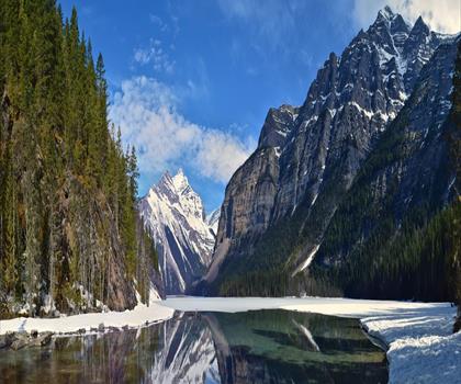
Kinney Lake
Northern British Columbia

Liard Hot Springs Lodge
Northern British Columbia
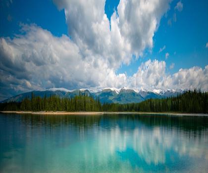
Boya Lake
Northern British Columbia
Kinuseo Falls
Northern British Columbia
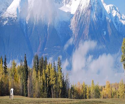
Hudson Bay Mountain
Northern British Columbia
Hiking near Jasper
82 trails to explore ~331 km away
We work hard to provide the most up-to-date and error-free data possible. If something seems incorrect, let us know! Your contribution helps the whole community.
Hikers' opinions
Be the first to review!
No hiker has shared their experience yet. Share your impressions and help other hikers!