
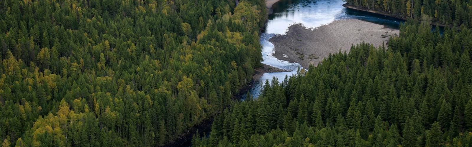

Ready to explore Spahats Falls? Here's everything you need to know before you go!
Discover the trail
Trail description
Spahats Falls is one of those stops that earns its reputation the moment you peer over the edge. Located in Wells Gray Provincial Park in British Columbia's Central Interior near Clearwater, this waterfall plunges 75 meters into a deep volcanic canyon carved over thousands of years — and the viewpoint delivers a perspective that's hard to shake. Whether you're passing through on a longer trip into Wells Gray or making a dedicated visit, Spahats Falls is worth every minute.
The Falls and the Canyon
Spahats Creek drops dramatically into a narrow canyon of dark volcanic rock before eventually joining the Clearwater River. What makes this spot visually striking isn't just the waterfall itself — it's the layered canyon walls that frame it. The rock here tells a geological story: volcanic lava flows stacked over time, then carved out by water and erosion into the dramatic gorge you see today. The contrast between the dark basalt walls, the rushing white water, and the surrounding forest gives the whole scene a raw, almost otherworldly quality.
The canyon is deep and the drop is significant, so the viewpoints are fenced for safety — but the sightlines are excellent. You get a clear look both down into the gorge and across to the falls, which makes for great photography at almost any time of day.
The Trail Experience
The trail to the main viewpoints at Spahats Falls is short and accessible, making it a realistic stop for a wide range of visitors — families with kids, older hikers, or anyone who wants a high-impact natural feature without a demanding approach. The path is well-maintained hard-packed gravel and loops through mature forest before opening up to the canyon rim.
There are multiple viewpoints along the rim, each offering a slightly different angle on the falls and the canyon below. It's worth taking your time and walking the full loop rather than stopping at the first lookout. The forest section of the trail is pleasant in its own right — tall conifers, dappled light, and the sound of the creek building as you get closer to the edge.
The trail is generally suitable for most fitness levels and is wheelchair and stroller accessible. The terrain is relatively flat with some gentle undulation near the rim. Footwear with decent grip is always a good idea, especially if conditions are wet — the canyon environment can be moist and the boardwalk sections near the viewpoints can get slippery.
Wells Gray Provincial Park Context
Spahats Falls sits near the southern entrance of Wells Gray Provincial Park, approximately 10 km from the park entrance, which means it's often one of the first major natural features visitors encounter when heading into the park. That positioning makes it a natural first stop — a strong introduction to what Wells Gray has to offer before you push deeper into the park toward Helmcken Falls, Clearwater Lake, or the alpine zones further north.
Wells Gray is one of British Columbia's largest and most ecologically diverse provincial parks, and the Spahats area reflects that character well. The surrounding landscape is a mix of montane and subalpine forest, with the volcanic geology of the region visible throughout. Wildlife is present in the park — keep your eyes open and your expectations realistic, as sightings are never guaranteed but the habitat is rich.
Practical Information
The Spahats Falls trailhead is located just off Highway 5 (the Yellowhead Highway), a short drive north of the town of Clearwater. Access is straightforward — the turnoff is well-signed and the parking area is easy to find. There is a day-use area at the site with basic facilities.
- Access: Off Highway 5 (Yellowhead Highway), north of Clearwater, BC — well-signed from the highway
- Parking: Day-use parking area at the trailhead
- Facilities: Washrooms available at the day-use area
- Park fees: Wells Gray Provincial Park day-use fees may apply — check BC Parks for current rates
- Dogs: Dogs are permitted in BC Provincial Parks; keep them leashed near viewpoints and sensitive areas
- Season: The site is accessible for most of the year when Highway 5 is open. Note: Spring 2025 closure planned for viewing platform replacement and trail accessibility improvements until June 6, 2025. Check BC Parks website for current status before visiting.
- Accessibility: Hard-packed gravel trail with wheelchair and stroller accessible viewpoints
Tips for Your Visit
The falls tend to run strongest during spring snowmelt and after significant rainfall — if you're visiting in late spring or early summer, the volume of water coming over the edge is noticeably more dramatic than during drier late-summer conditions. That said, the canyon itself is impressive year-round, and the falls never fully dry up.
If you're planning a longer day in Wells Gray, Spahats Falls works well as either a warm-up stop on the way in or a final highlight on the way out. It pairs naturally with a visit to Helmcken Falls further up the park road, which is a much larger waterfall and one of the tallest in Canada. Doing both in the same day gives you a solid sense of the park's waterfall character without requiring a multi-day commitment.
Bring a wide-angle lens if you're into photography — the canyon is wide enough that a standard focal length can feel limiting when you're trying to capture both the falls and the full depth of the gorge in the same frame. Early morning light hits the canyon well and tends to come with fewer other visitors.
Who This Is For
Spahats Falls works for almost anyone. It's one of the more accessible major natural features in the Wells Gray area, which makes it a reliable choice when you're traveling with people who have different fitness levels or mobility considerations. The payoff — a genuine volcanic canyon and a striking waterfall — is well out of proportion to the effort required to see it, and that's a combination worth seeking out.
The Essential Hiking Checklist
Everything you need for your next hike. Bilingual, printable, 1 page.
Get your free hiking checklistRecommended gear for this trail
As an Amazon Associate I earn from qualifying purchases.


Ready to go?
Everything you need to know before you goWhen?
How much?
As an Amazon Associate I earn from qualifying purchases.
Affiliate links — LGPO may earn a commission at no extra cost to you.
- Hiking shoes Essential
- → Salomon Elixir Tour Mid WP · 203.38 $
- Layered clothing Essential
- Rain jacket Essential
- Trekking poles
- → Black Diamond Trail Ergo Cork · 69.99 $
- Headlamp
- → Petzl Actik Core 625 · 103.95 $
FAQ - Frequently asked questions
Everything you need to knowSimilar hikes nearby
Discover other trails you might enjoy

Big White Ski Resort
Thompson Okanagan
Cougar Canyon
Thompson Okanagan
Spectrum Lake
Thompson Okanagan
Kentucky Lake
Thompson Okanagan
Clearwater Lake
Thompson Okanagan
Mahood Lake
Thompson Okanagan
Hiking near Jasper
82 trails to explore ~183 km away
We work hard to provide the most up-to-date and error-free data possible. If something seems incorrect, let us know! Your contribution helps the whole community.
Hikers' opinions
Be the first to review!
No hiker has shared their experience yet. Share your impressions and help other hikers!