


Ready to explore Suffern Lake? Here's everything you need to know before you go!
Discover the trail
Oh no! We don't have any photos 😢
This trail hasn't been captured yet. Be the first to share your adventure!Trail description
Wildlife and Natural Features
Suffern Lake's diverse habitats support an impressive array of wildlife that changes throughout the hiking seasons. The shoreline marshes attract numerous waterfowl species, from common mallards and Canada geese to more elusive species like northern pintails and ring-necked ducks. Early morning and evening hikers often spot these birds feeding in the shallows or resting in protected coves.
The surrounding forest provides habitat for larger mammals, and deer sightings are common along both trail systems. White-tailed deer frequently emerge from the forest to drink at the lake's edge, especially during dawn and dusk hours.
Birdwatchers will find Suffern Lake particularly rewarding, as the mix of aquatic and forest habitats attracts both resident and migratory species. Loons call across the water during summer months, while various woodpecker species drum in the surrounding trees. The forest understory comes alive with songbirds during spring migration, creating a natural soundtrack for your hiking experience.
The area's plant life reflects the transition between Saskatchewan's parkland and boreal forest regions. Vibrant wildflowers bloom throughout the growing season, with early spring bringing pasque flowers and wild crocuses, followed by summer displays of fireweed, wild bergamot, and various aster species. The forest canopy mixes trembling aspen, paper birch, and white spruce, creating the classic Saskatchewan parkland mosaic.
The Essential Hiking Checklist
Everything you need for your next hike. Bilingual, printable, 1 page.
Get your free hiking checklistRecommended gear for this trail
As an Amazon Associate I earn from qualifying purchases.


Ready to go?
Everything you need to know before you goStarting Point
To access the hiking trails, head to the main trailhead located near suffern lake. The primary parking area can be found at suffern lake Regional Park, which is accessible via Highway 26. Follow signs for the regional park, and you will find designated parking areas close to the trailheads.
When?
How much?
As an Amazon Associate I earn from qualifying purchases.
Affiliate links — LGPO may earn a commission at no extra cost to you.
- Hiking shoes Essential
- → Salomon Elixir Tour Mid WP · 203.38 $
- Layered clothing Essential
- Rain jacket Essential
- Trekking poles
- → Black Diamond Trail Ergo Cork · 69.99 $
- Headlamp
- → Petzl Actik Core 625 · 103.95 $
FAQ - Frequently asked questions
Everything you need to knowSimilar hikes nearby
Discover other trails you might enjoy
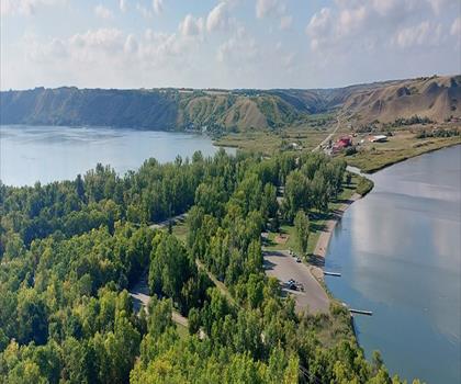
Echo Valley Provincial Park
Prairie Life & City Lights
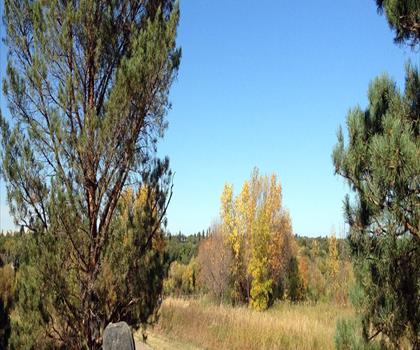
Meewasin Trail
Prairie Life & City Lights
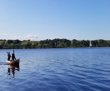
Manitou Lake
Prairie Life & City Lights

Rowan's Ravine Provincial Park
Prairie Life & City Lights

The Battlefords Provincial Park
Prairie Life & City Lights
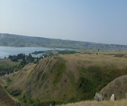
Diefenbaker Park
Prairie Life & City Lights
Hiking near Saskatoon
4 trails to explore ~226 km away
We work hard to provide the most up-to-date and error-free data possible. If something seems incorrect, let us know! Your contribution helps the whole community.
Hikers' opinions
Be the first to review!
No hiker has shared their experience yet. Share your impressions and help other hikers!