
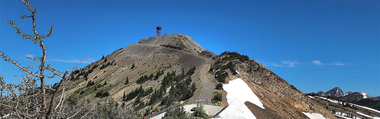

Ready to explore Hart Pass? Here's everything you need to know before you go!
Discover the trail
Trail description
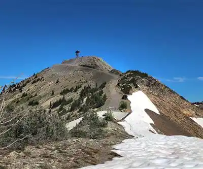
Hart Pass sits within the Tombstone Mountains area of Yukon, and it's the kind of place that stops you in your tracks the moment the landscape opens up around you. This is raw, high-elevation Yukon terrain — jagged peaks, sweeping alpine views, and a sense of remoteness that's hard to find anywhere else. Whether you're coming for a day hike or using it as a launching point for deeper exploration, Hart Pass delivers an experience that's genuinely hard to match in the territory.
The Terrain
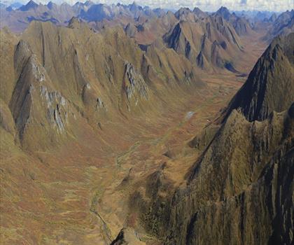
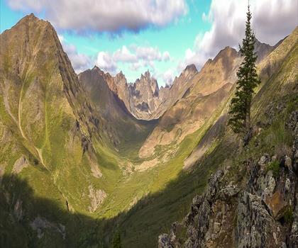
The Tombstone Mountains are defined by their dramatic, dark-toned peaks — the result of ancient volcanic intrusions that give the range its distinctive, almost gothic silhouette. Hart Pass sits in this environment, where the treeline drops away and the alpine takes over quickly. Expect open tundra, rocky ridgelines, and the kind of wide-open sky that makes you feel very small in the best possible way.
The ground underfoot shifts between tundra vegetation, loose scree, and exposed rock depending on where you're moving. This isn't a groomed trail experience — the landscape is wild and the footing demands attention. Sturdy footwear with good ankle support is a practical necessity here, not just a recommendation.
What Makes This Place Stand Out
The Tombstone Mountains region is often called one of Yukon's most spectacular wilderness areas, and Hart Pass gives you direct access to that reputation. The visual drama here is immediate — you're not working through dense forest for hours before the payoff. The alpine environment asserts itself early, and the views across the surrounding peaks and valleys are expansive.
Wildlife presence in this part of Yukon is significant. The broader Tombstone area is known for grizzly bears, Dall's sheep, caribou, and a wide range of bird species adapted to alpine and subarctic conditions. Keep your eyes on the ridgelines and open slopes — animal sightings are a real part of the experience here, not a rare bonus.
The light in Yukon's long summer days also transforms this landscape in ways that are worth planning around. Early morning and evening hours bring a quality of light that hits the peaks differently, and the extended daylight of the northern summer means you have flexibility in timing that you simply don't get further south.
Getting There and Access
Hart Pass is accessible via the Dempster Highway, which is itself one of the great drives in Canada. The Dempster cuts through some of the most remote and visually striking terrain in the country, and arriving at the Tombstone Mountains area via this route is part of the experience. The highway is unpaved and requires a vehicle in good condition — flat tires are common enough that carrying two spare tires is standard advice for anyone driving the Dempster.
The Tombstone Territorial Park Interpretive Centre is located near the highway and serves as a useful orientation point. Staff there can provide current trail conditions, wildlife activity updates, and any relevant safety information before you head out. It's worth stopping in, especially if you're unfamiliar with the area.
Practical Considerations
This is Yukon wilderness, and the conditions reflect that. Weather in the Tombstone Mountains can shift quickly and dramatically. Even in summer, temperatures at elevation can drop sharply, and wind exposure on open ridgelines is significant. Layering is essential, and waterproof gear should always be in your pack regardless of how the morning looks when you set out.
Bear awareness is not optional here. Carry bear spray, know how to use it, and make noise while moving through terrain with limited sightlines. The grizzly population in this part of Yukon is healthy, which is ecologically excellent and practically relevant to how you move through the landscape.
Bugs — particularly mosquitoes and blackflies — are a real factor during the warmer months. A head net and insect repellent will make a meaningful difference to your comfort, especially in lower, wetter sections of terrain.
- Footwear: Waterproof boots with solid ankle support are strongly recommended given the mix of tundra, scree, and exposed rock.
- Navigation: Carry a map and compass or a GPS device. Cell service is not reliable in this area.
- Water: Water sources are present in the alpine environment, but always treat or filter before drinking.
- Bear safety: Bear spray should be accessible — not buried in your pack — at all times.
- Weather preparedness: Pack for cold and wet conditions regardless of the forecast. Conditions change fast at elevation.
- Leave No Trace: The tundra ecosystem here is fragile and slow to recover. Stay on established paths where they exist and minimize your impact on vegetation.
The Broader Tombstone Context
Hart Pass exists within the larger framework of Tombstone Territorial Park, a protected area that encompasses a remarkable range of ecosystems — from boreal forest along the valley floors to high alpine tundra and permanent snowfields on the upper peaks. The park protects critical habitat for species that depend on intact, connected wilderness, and the management approach reflects that priority.
The Tr'ondëk Hwëch'in First Nation has deep historical and cultural connections to this landscape. The Tombstone Mountains area has been part of their traditional territory for thousands of years, and that relationship with the land is woven into the identity of the place. Visiting with that awareness adds a layer of meaning to the experience that goes beyond the scenery.
When to Go
The accessible season for Hart Pass is relatively short given its northern latitude and elevation. Summer — roughly late June through early September — is the primary window when conditions are most reliable for hiking. Snow can linger well into June at higher elevations and return early in September. The shoulder periods can offer stunning conditions but require more flexibility and preparedness for variable weather.
Fall brings dramatic colour changes to the tundra, with the low-growing vegetation shifting through golds, reds, and oranges in a display that's genuinely striking against the dark rock of the peaks.
The Essential Hiking Checklist
Everything you need for your next hike. Bilingual, printable, 1 page.
Get your free hiking checklistRecommended gear for this trail
As an Amazon Associate I earn from qualifying purchases.


Ready to go?
Everything you need to know before you goWhen?
How much?
As an Amazon Associate I earn from qualifying purchases.
Affiliate links — LGPO may earn a commission at no extra cost to you.
- Hiking shoes Essential
- → Salomon Elixir Tour Mid WP · 203.38 $
- Layered clothing Essential
- Rain jacket Essential
- Trekking poles
- → Black Diamond Trail Ergo Cork · 69.99 $
- Headlamp
- → Petzl Actik Core 625 · 103.95 $
FAQ - Frequently asked questions
Everything you need to knowSimilar hikes nearby
Discover other trails you might enjoy
Hiking near Jasper
82 trails to explore ~1746 km away
We work hard to provide the most up-to-date and error-free data possible. If something seems incorrect, let us know! Your contribution helps the whole community.
Hikers' opinions
Be the first to review!
No hiker has shared their experience yet. Share your impressions and help other hikers!