
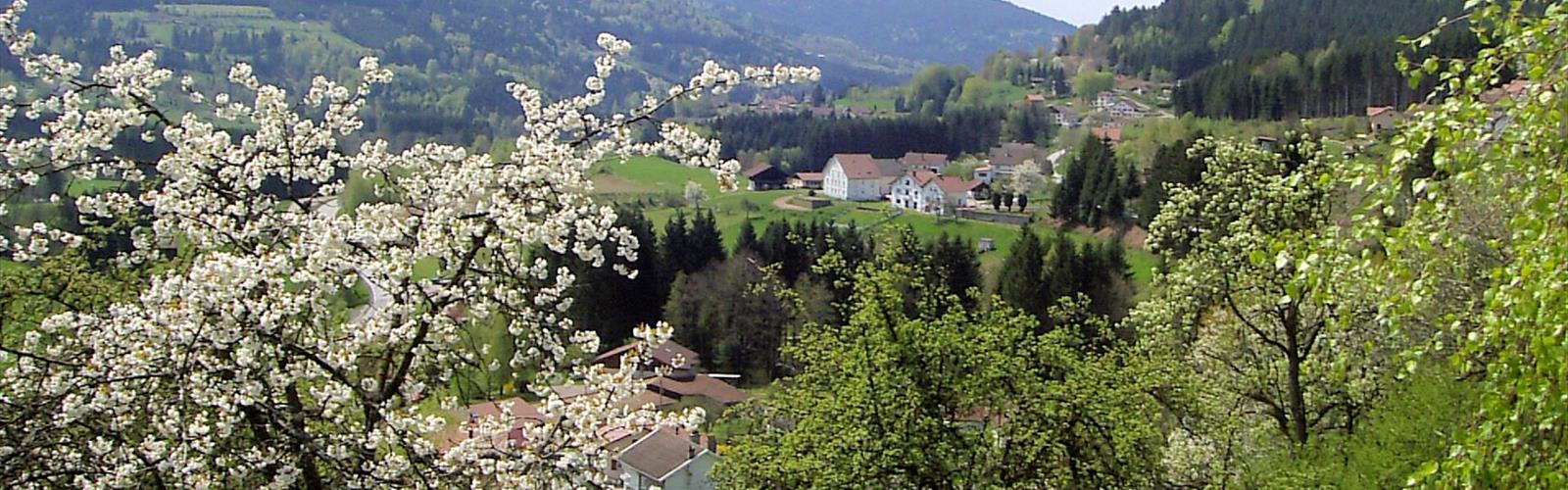

Ready to explore Cascade de la Pissoire? Here's everything you need to know before you go!
Discover the trail
Trail description
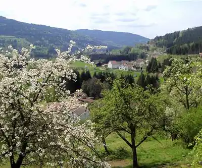
Cascade de la Pissoire is one of those Vosges destinations that earns its reputation the honest way — through a genuinely enjoyable trail and a waterfall that delivers when you get there. Tucked into the dense forests of Grand Est, this cascade drops roughly 15 meters in a series of tiers over weathered sandstone, pooling at the base in a setting that feels genuinely removed from the everyday. At 6 km round trip with 300 meters of elevation gain, it's a solid half-day outing that works well for hikers with a reasonable base fitness level.
What the Trail Actually Feels Like
The route follows well-established forest paths through classic Vosgian terrain — rolling hills shaped by old glacial activity, with the region's characteristic red sandstone occasionally surfacing through the forest floor. The canopy overhead is a mix of spruce and fir, dense enough that even on bright days the light filters down in broken shafts rather than full sun. That shade is welcome on warmer days, though it also means the trail holds moisture longer after rain.
Elevation gain is distributed fairly evenly across the hike, with the steepest push coming in the final approach to the falls. The trail surface shifts between packed earth, forest duff, and rockier sections where the sandstone breaks through. Tree roots cross the path regularly — nothing technical, but worth watching underfoot, especially when things are wet. Overall, the 2h30 estimated duration is realistic for a moderate pace with time to stop and take in the surroundings.
Navigation is straightforward on marked trails. The forest is dense enough that you stay oriented more by the path itself than by landmarks, but as you close in on the waterfall, the sound of the water becomes a reliable guide. That gradual build of noise through the trees is one of the small pleasures of this hike — you hear the cascade well before you see it.
The Waterfall
Cascade de la Pissoire reveals itself as you round the final bend, and the full drop comes into view at once. The water moves in multiple tiers down the sandstone face, with the main plunge feeding a pool at the base surrounded by moss-covered rock. The rock formations around the falls have been smoothed by centuries of water flow, and they offer a few different vantage points worth exploring before you settle in.
The spray zone around the base creates noticeably cooler, damper air — a welcome contrast on a warm summer day, though it also means the rocks immediately around the pool are consistently slick. Step carefully if you're moving around for photos. The waterfall is at its most powerful during spring snowmelt and after sustained rain, when the volume increases significantly and the mist carries further into the surrounding trees. During dry stretches in summer, the flow drops, but the setting remains worth the trip.
For photography, the falls respond well to longer exposures that smooth out the water movement. The forest light is soft and diffused under the canopy, which works in your favor for avoiding harsh shadows — though it does mean you'll want to account for lower light levels. Early morning tends to offer the cleanest conditions before any wind picks up in the trees.
Terrain and Footing Notes
Sturdy hiking boots with real ankle support and grip are the right call here, not trail runners. The combination of root-crossed paths, occasional rocky sections, and the perpetually damp environment near the waterfall adds up to conditions where traction matters. Trekking poles are useful on the steeper sections of the approach and help on the descent when legs are tired.
The forest floor throughout the hike supports a dense understory of ferns and mosses, with seasonal wildflowers adding color in spring and early summer. The moisture-loving plant communities become noticeably richer as you approach the falls — the spray zone sustains species that don't appear elsewhere on the trail, and it's worth slowing down to notice the transition.
Seasonal Timing
Spring is when Cascade de la Pissoire is at its most dramatic. Snowmelt from higher elevations pushes the water volume up substantially, and the surrounding forest is coming back to life with fresh growth and wildflowers. Trails will be muddy in places, so waterproof boots matter more in this season than any other. Crowds are also lighter in early spring, which makes for a quieter experience at the falls.
Autumn is the other standout season. The deciduous trees in the mixed forest turn through their full range of colors, and the combination of fall foliage and moving water makes for some of the most visually compelling conditions of the year. Fallen leaves on the trail can be slippery, particularly on steeper sections, so tread with some care.
Summer hiking is comfortable and the trails are at their driest, though the waterfall's flow is reduced during extended dry periods. The forest canopy provides consistent shade that keeps temperatures manageable even on hot days. Winter is possible for experienced hikers prepared for snow and ice, and the falls can develop striking ice formations during cold snaps — a completely different experience from the warmer months.
Wildlife in the Area
The forests around Cascade de la Pissoire are home to red deer, roe deer, and wild boar — all present in the Vosges, though sightings depend heavily on timing and how quietly you move through the woods. Early morning and late afternoon are the most productive windows. Bird life includes woodpeckers, nuthatches, and various forest species that use this habitat year-round, with additional migrants passing through in season.
The waterfall's pool and the surrounding wet zone support aquatic insects and small fish, part of the broader ecosystem that the constant water flow sustains. The microhabitat created by the spray and humidity is noticeably distinct from the drier forest just a short distance away.
What to Bring
- Footwear: Waterproof hiking boots with solid grip — non-negotiable near the falls and on wet trail sections.
- Layers: The forest runs cooler than open terrain, and the spray zone at the base of the falls adds a chill. A windbreaker or light rain jacket covers both.
- Water and food: 300 meters of elevation gain across 6 km is more demanding than it sounds. Pack enough to stay comfortable for the full 2h30.
- Trekking poles: Helpful on the steeper sections and useful for stability on root-heavy stretches of trail.
- Camera gear: A tripod opens up longer exposure options for the waterfall; higher ISO settings help under the forest canopy.
The Essential Hiking Checklist
Everything you need for your next hike. Bilingual, printable, 1 page.
Get your free hiking checklistRecommended gear for this trail
As an Amazon Associate I earn from qualifying purchases.


Ready to go?
Everything you need to know before you goWhen?
How much?
As an Amazon Associate I earn from qualifying purchases.
Affiliate links — LGPO may earn a commission at no extra cost to you.
- Hiking shoes Essential
- → Salomon Elixir Tour Mid WP · 203.38 $
- Layered clothing Essential
- Rain jacket Essential
- Trekking poles
- → Black Diamond Trail Ergo Cork · 69.99 $
- Headlamp
- → Petzl Actik Core 625 · 103.95 $
FAQ - Frequently asked questions
Everything you need to knowSimilar hikes nearby
Discover other trails you might enjoy
Hiking near Sydney
22 trails to explore ~4922 km away
We work hard to provide the most up-to-date and error-free data possible. If something seems incorrect, let us know! Your contribution helps the whole community.
Hikers' opinions
Be the first to review!
No hiker has shared their experience yet. Share your impressions and help other hikers!