

Ready to explore Tells Peak, California? Here's everything you need to know before you go!
Discover the trail
Trail description
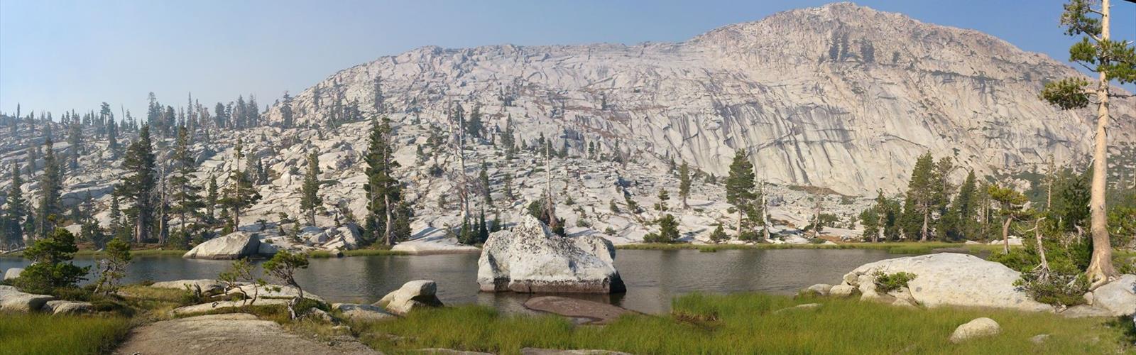
Tell's Peak stands as a prominent summit in California's Sierra Nevada range, offering mountaineers and experienced hikers a challenging climbing objective in one of the state's most spectacular mountain environments. This peak represents the kind of serious alpine adventure that draws climbers to the Sierra Nevada's high country, where granite walls, alpine lakes, and sweeping mountain vistas create an unforgettable wilderness experience.
Mountain Character and Terrain
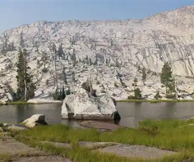
The approach to Tell's Peak takes you through classic Sierra Nevada terrain, characterized by the region's signature granite formations, scattered alpine lakes, and hardy mountain vegetation. The peak itself rises prominently from the surrounding landscape, offering multiple route options for those looking to reach its summit. The granite here displays the typical Sierra characteristics - solid rock with excellent friction, though climbers should always assess conditions and rock quality as they progress.
The surrounding terrain showcases the Sierra Nevada's dramatic geological history, with evidence of glacial activity visible in the polished granite slabs, carved valleys, and scattered boulder fields. As you gain elevation toward Tell's Peak, the landscape becomes increasingly alpine, with vegetation giving way to exposed rock and expansive views of the surrounding peaks and valleys.
Climbing Experience
Tell's Peak presents a serious mountaineering objective that demands proper preparation, experience, and equipment. The climb typically involves technical sections that require rock climbing skills, making this peak suitable for experienced climbers rather than casual hikers. Route finding can be challenging, and conditions can change rapidly in the high Sierra environment.
Climbers should come prepared with appropriate technical gear, including ropes, protection, and helmets. The granite can be deceptively challenging, and what appears straightforward from a distance often reveals technical difficulties up close. Weather conditions play a crucial role in climb planning, as afternoon thunderstorms are common during certain seasons, and early morning starts are typically recommended.
The physical demands of reaching Tell's Peak extend beyond the technical climbing sections. The approach itself requires good fitness and navigation skills, as you'll be traveling through remote mountain terrain where trails may be faint or non-existent in places. Stream crossings, loose rock, and elevation gain all contribute to the overall challenge.
Sierra Nevada Setting
Tell's Peak sits within the broader Sierra Nevada ecosystem, where the mountain environment supports a diverse range of plant and animal life adapted to high-altitude conditions. The area around the peak transitions from montane forests at lower elevations to alpine zones near the summit, creating distinct ecological layers that change as you gain elevation.
Wildlife in the region includes species well-adapted to the Sierra's challenging environment. Mountain goats, marmots, and various bird species make their home in these high elevations, while black bears and other wildlife inhabit the lower elevation approaches. Climbers should practice proper food storage and Leave No Trace principles to protect both wildlife and the pristine mountain environment.
The high-altitude environment around Tell's Peak can be harsh and unforgiving. Temperature swings between day and night can be dramatic, and weather conditions can deteriorate rapidly. Snow can persist well into summer at higher elevations, and ice may be present on north-facing aspects even during warmer months.
Access and Logistics
Reaching Tell's Peak requires careful planning and preparation, starting with the approach to the climbing area. Access typically involves driving to a trailhead, followed by a significant hike or backpack to reach the base of the climbing routes. The remote location means that climbers should be self-sufficient and prepared for emergency situations.
Many climbers choose to establish a base camp in the area, allowing for an early alpine start and providing a secure location for gear and supplies. Water sources may be available depending on the season and specific location, but climbers should research current conditions and be prepared to carry adequate water for the entire climb.
Permits may be required for overnight camping in the area, and climbers should check current regulations before their trip. The Sierra Nevada's popularity means that some areas have quotas and advance reservations may be necessary, particularly during peak climbing season.
Safety and Preparation
Tell's Peak demands serious preparation and respect for the mountain environment. Climbers should have solid technical skills, experience with multi-pitch climbing, and familiarity with alpine rescue techniques. The remote location means that help may be hours or days away in case of emergency, making self-rescue capabilities essential.
Weather monitoring is crucial for safe climbing on Tell's Peak. Sierra Nevada weather can change rapidly, with afternoon thunderstorms posing serious risks to climbers on exposed routes. Morning starts help avoid afternoon weather, but climbers should be prepared to retreat if conditions deteriorate.
Navigation skills are essential, as routes may not be well-marked and terrain can be confusing, especially in poor visibility. GPS devices, detailed maps, and compass skills provide important backup for route finding. Communication devices such as satellite messengers can provide an important safety margin in this remote environment.
Proper gear selection makes a significant difference in both safety and success on Tell's Peak. Beyond technical climbing equipment, climbers need appropriate clothing for rapidly changing mountain conditions, emergency shelter, first aid supplies, and sufficient food and water for the planned route plus emergency reserves.
The Essential Hiking Checklist
Everything you need for your next hike. Bilingual, printable, 1 page.
Get your free hiking checklistRecommended gear for this trail
As an Amazon Associate I earn from qualifying purchases.


Ready to go?
Everything you need to know before you goWhen?
How much?
As an Amazon Associate I earn from qualifying purchases.
Affiliate links — LGPO may earn a commission at no extra cost to you.
- Hiking shoes Essential
- → Salomon Elixir Tour Mid WP · 203.38 $
- Layered clothing Essential
- Rain jacket Essential
- Trekking poles
- → Black Diamond Trail Ergo Cork · 69.99 $
- Headlamp
- → Petzl Actik Core 625 · 103.95 $
FAQ - Frequently asked questions
Everything you need to knowSimilar hikes nearby
Discover other trails you might enjoy

Coso Range Wilderness Trail
Sierra Nevada
Bloody Mountain, California
Sierra Nevada
Mount Lyell, California
Sierra Nevada
California Hot Springs
Sierra Nevada
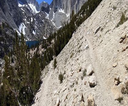
Mount Hopkins, California
Sierra Nevada
Vernal and Nevada Falls (The Mist) Trail
Sierra Nevada
Hiking near Victoria
93 trails to explore ~1081 km away
We work hard to provide the most up-to-date and error-free data possible. If something seems incorrect, let us know! Your contribution helps the whole community.
Hikers' opinions
Be the first to review!
No hiker has shared their experience yet. Share your impressions and help other hikers!