
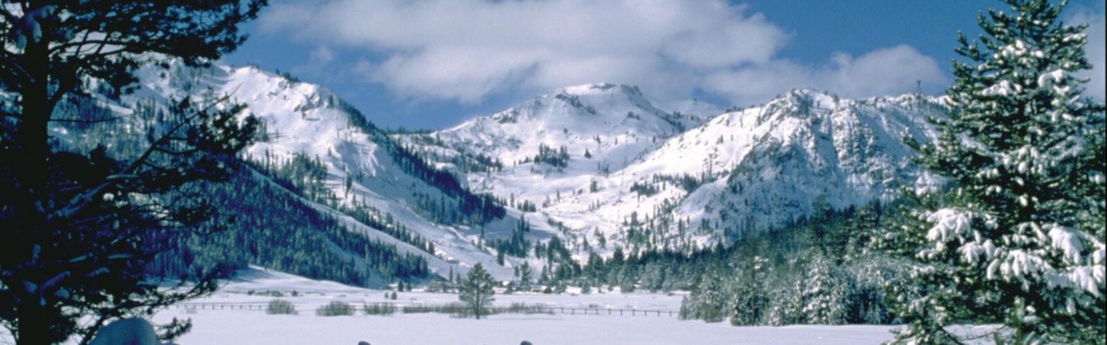
Ready to explore Squaw Valley Resort? Here's everything you need to know before you go!
Discover the trail
Available trails
| TrailTrails | Dist.Distance | GainElevation | Est. timeEstimated time | Difficulty | GPX |
|---|---|---|---|---|---|
|
|
5.5 km | 683 m | ≈ 2h30 | ||
|
|
6.1 km | 204 m | ≈ 2h | ||
|
Beginner
|
1.6 km | 58 m | ≈ 27min | Beginner | |
|
Beginner
|
1.1 km | 30 m | ≈ 17min | Beginner | |
|
Intermediate
|
1.3 km | 215 m | ≈ 37min | Intermediate | |
|
Intermediate
|
2.3 km | 152 m | ≈ 45min | Intermediate | |
|
Intermediate
|
3.7 km | 122 m | ≈ 1h | Intermediate | |
|
Intermediate
|
4 km | 274 m | ≈ 1h30 | Intermediate | |
|
Intermediate
|
3.2 km | 210 m | ≈ 1h | Intermediate | |
|
Intermediate
|
3.2 km | 9 m | ≈ 43min | Intermediate | |
|
Advanced
|
9.2 km | 692 m | ≈ 3h | Advanced | |
|
Advanced
|
5.6 km | 585 m | ≈ 2h | Advanced | |
|
Advanced
|
8.2 km | 864 m | ≈ 3h | Advanced |
Trail description
The resort in summer
Palisades Tahoe is a ski resort in Olympic Valley, California. In winter it is about skiing; this page covers summer walking only. According to Wikipedia, the Palisades Tahoe name was announced in September 2021 to replace Squaw Valley. The Village, at the foot of the mountain, sits at 6,200 ft; the Aerial Tram climbs to High Camp at 8,200 ft, about 2,000 vertical feet, according to the resort.
The resort's thirteen trails
The resort lists thirteen hiking trails, each with a difficulty (easy, moderate, strenuous), a length and an elevation gain. Its figures are in miles and feet, marked "~": the kilometres below are conversions, and the elevation shown is the climb only.
From High Camp (reached by Aerial Tram):
- High Camp Loop: easy, 1.0 mi (1.6 km), +190 ft
- Emigrant Peak (Monument): moderate, 0.8 mi (1.3 km), +705 ft
- Siberia Basin Loop Trail: moderate, 2.5 mi (4 km), +900 ft
- Siberia Ridge Road: moderate, 2.0 mi (3.2 km), +690 ft
- Emigrant Peak Trail: moderate, 1.4 mi (2.3 km), +500 ft
- Western States Trail Connector: moderate, 2.0 mi (3.2 km), +30 ft
- Shirley Lake & Solitude Trail Loop: moderate, 2.3 mi (3.7 km), +400 ft
From The Village:
- Trollstigen Trail: easy, 0.7 mi (1.1 km), +100 ft
- Shirley Canyon Trail: strenuous, 3.5 mi (5.6 km), +1,920 ft
- World Cup Trail to Western States Trail: moderate to strenuous, 3.8 mi (6.1 km), +670 ft
- Western States Trail: strenuous, 5.1 mi (8.2 km), +2,835 ft
- Thunder Mountain Trail: moderate to strenuous, 3.4 mi (5.5 km), +2,240 ft
- Granite Chief Trail: strenuous, 5.7 mi (9.2 km), +2,270 ft
Trollstigen Trail starts at the top of the small chairlift at SnoVentures. Shirley Canyon Trail starts at the Aerial Tram.
The Aerial Tram and High Camp
The Aerial Tram links The Village and High Camp. According to the resort, High Camp offers free guided naturalist walks in summer (wildflowers, geology, wildlife), free Washoe Cultural Talks, roller skating that is free with an Aerial Tram ticket or Ikon Pass, and the free Olympic Museum about the 1960 Winter Games. The Tahoe Via Ferrata on the Tram Face is a separate activity.
Summer 2026 schedule
According to the resort's blog post dated May 29, 2026, the Tram ran Friday to Sunday only from May 29 to June 14, then daily from June 19 to September 7. It closed for the summer on September 8. Dates change from year to year. Afternoon thunderstorms can affect Tram operations and trail access; the resort points to the Mountain Report for Tram status, trail conditions and weather. 26/27 Ikon Pass holders ride all summer.
Hiking with a dog
The resort welcomes leashed dogs on its designated hiking trails. Dogs can also ride the Tram in summer: free, or with a $10 Pet Pass whose proceeds go to the Humane Society of Truckee-Tahoe. Day-use parking lots have little shade, and the resort asks you not to leave a pet unattended in a vehicle during the summer. Pick up after your dog and keep it from disturbing wildlife.
Before you go
- Emigrant Peak: the resort asks hikers not to go down the steep swale next to the fence.
- Solitude Trail: the resort describes it as steep and rockier.
- Trail maps are available in The Village or as a mobile download.
- Tram ticket price: check with the resort before you go.
Everything you need for your next hike. Bilingual, printable, 1 page.
Get your free hiking checklistRecommended gear for this trail
As an Amazon Associate I earn from qualifying purchases.


Ready to go?
Everything you need to know before you goStarting Point
The trails published by the resort start from The Village, at the foot of the mountain (6,200 ft), or from High Camp (8,200 ft), reached by Aerial Tram. Shirley Canyon Trail starts at the Aerial Tram; Trollstigen Trail starts at the top of the small chairlift at SnoVentures.
When?
Aerial Tram, summer 2026 (resort blog, May 29, 2026): Friday to Sunday from May 29 to June 14; daily from June 19 to September 7; closed for the summer on September 8.
How much?
As an Amazon Associate I earn from qualifying purchases.
Affiliate links — LGPO may earn a commission at no extra cost to you.
- Hiking shoes Essential
- → Salomon Elixir Tour Mid WP · 203.38 $
- Layered clothing Essential
- Rain jacket Essential
- Trekking poles
- → Black Diamond Trail Ergo Cork · 69.99 $
- Headlamp
- → Petzl Actik Core 625 · 103.95 $
FAQ - Frequently asked questions
Everything you need to knowOutings near Squaw Valley Resort
Discover other trails you might enjoy
Mount Pluto, California
Sierra Nevada · 9.6 km away
Donner Ski Ranch
Sierra Nevada · 15.7 km away
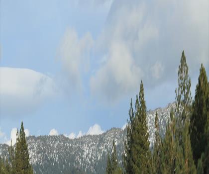
Mount Baldy, Nevada
Reno-Tahoe · 22.2 km away
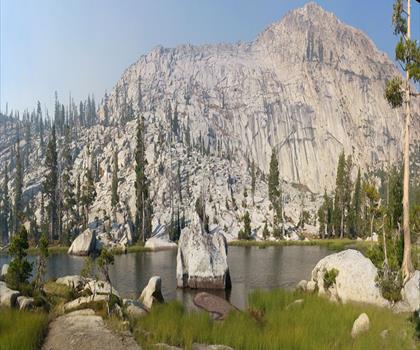
Tells Peak, California
Sierra Nevada · 26.4 km away
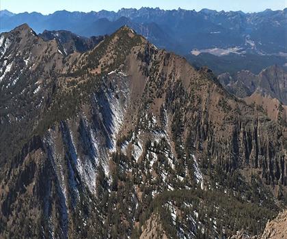
Mount Rose, Nevada
Reno-Tahoe · 31.8 km away
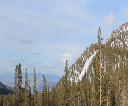
Slide Mountain, Nevada
Reno-Tahoe · 32.9 km away
Hiking near Victoria
105 trails to explore ~1056 km away
We work hard to provide the most up-to-date and error-free data possible. If something seems incorrect, let us know! Your contribution helps the whole community.
Hikers' opinions
Be the first to review!
No hiker has shared their experience yet. Share your impressions and help other hikers!