
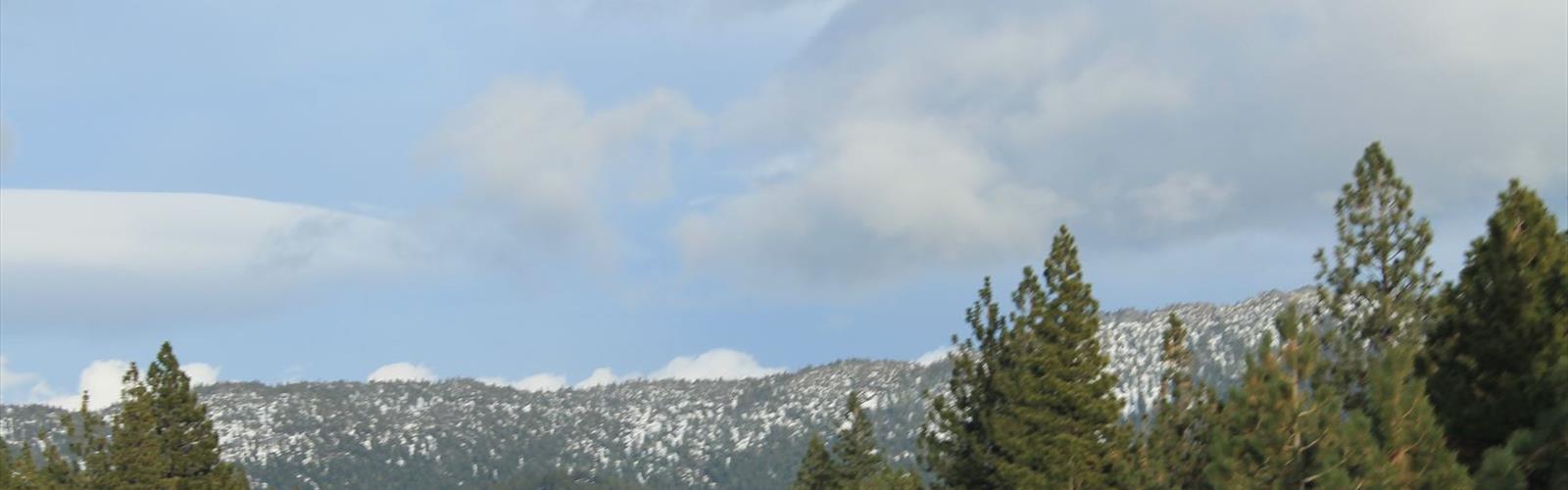

Ready to explore Mount Baldy, Nevada? Here's everything you need to know before you go!
Discover the trail
Trail description
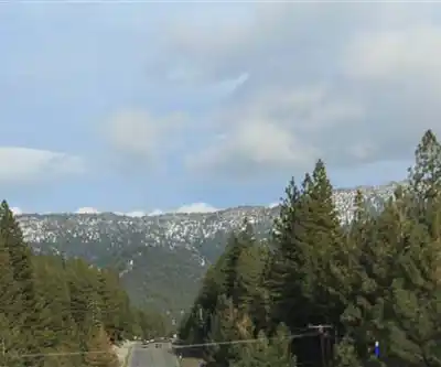
Mount Baldy in Nevada sits within the Reno-Tahoe region and offers one of the more rewarding summit climbs in the area. The name might ring a bell if you've heard of other peaks called Baldy across the West, but this one is firmly Nevada's own — a rugged, open-summit climb that draws locals and visitors alike looking for a genuine mountain experience without crossing into California.
The Terrain
The approach to Mount Baldy Nevada is characteristic of the Great Basin high country: open sagebrush slopes giving way to rocky terrain as you gain elevation. The mountain lives up to its name — the upper reaches are largely exposed, with minimal tree cover near the top. That openness is part of the appeal. You earn wide, unobstructed views as you push toward the summit, and the sky feels enormous up there.
The trail surface transitions as you climb. Lower sections tend to be more established underfoot, while the upper mountain gets looser and more technical in places. Footing requires attention, especially on the steeper pitches where scree and broken rock can shift underfoot. Trekking poles are a solid choice here, particularly on the descent when tired legs meet unstable ground.
What the Climb Feels Like
This is a summit climb, not a casual loop. The route is direct and purposeful — you're going up, and the mountain makes sure you know it. The elevation gain is consistent enough that you'll feel it in your legs and lungs, especially if you're coming from lower elevation and haven't had time to acclimatize to the thinner air of the Reno-Tahoe region.
The exposed nature of the upper mountain means wind is a real factor. Even on a calm day in the valley, conditions near the summit can be noticeably gustier and cooler. Layering is smart regardless of the season. In summer, afternoon thunderstorms are a legitimate concern in Nevada's mountain terrain — an early start is strongly recommended so you're off the exposed summit well before midday clouds start building.
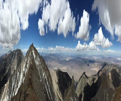
The payoff at the top is real. Standing on a bald summit with the Reno-Tahoe landscape spread out around you — the valleys, the ranges stacking up toward the horizon, the glint of water in the distance — is the kind of view that makes the effort feel completely worth it.
Who This Climb Is For
Mount Baldy Nevada is best suited for hikers who are comfortable on rocky, unmaintained terrain and have some experience with sustained elevation gain. It's not a beginner trail. That said, it's also not a technical mountaineering objective — no ropes, no special gear required. If you've done a handful of serious day hikes and are reasonably fit, this is within reach.
Hikers who thrive on summit goals and open ridgeline travel will feel right at home here. If you prefer shaded forest trails with gentle grades, this probably isn't your best option in the region.
Practical Information
- Start early: Afternoon thunderstorms are common in the Nevada mountains during summer. Being on or near the summit by mid-morning gives you a solid buffer.
- Water: Carry everything you need. Water sources on open, rocky Nevada peaks are unreliable — don't count on finding any along the route.
- Footwear: Sturdy hiking boots with ankle support are the right call given the rocky, uneven terrain on the upper mountain.
- Layers: Summit temperatures and wind can be significantly colder than the trailhead, even in summer. Pack a wind layer at minimum.
- Navigation: The upper mountain's open terrain can make route-finding less obvious, especially if visibility drops. Download an offline map or GPS track before you go.
- Sun exposure: The bald, open summit offers no shade. Sunscreen, sunglasses, and a hat are essential.
Getting There
Mount Baldy Nevada is accessible from the Reno-Tahoe region. The drive from Reno is manageable as a day trip. Road conditions to the trailhead can vary — a vehicle with decent clearance is worth considering depending on the access road conditions at the time of your visit. Check current conditions before heading out, particularly in spring when snow and mud can affect access.
Seasons and Timing
The prime window for climbing Mount Baldy Nevada runs from late spring through early fall, once the snowpack has cleared from the upper mountain. Snow can linger well into spring at elevation, and early-season attempts may require microspikes or careful route assessment. Fall offers some of the most stable weather and comfortable temperatures for the climb. Winter ascents are possible for experienced mountaineers equipped for snow travel, but the route takes on a very different character.
What Makes This Climb Stand Out
In a region defined by dramatic landscapes — the Sierra Nevada to the west, the Great Basin stretching east — Mount Baldy Nevada carves out its own identity. It's a genuine summit experience that doesn't require a multi-day backpacking trip or a permit lottery. The climb is honest and direct, the views are expansive, and the sense of accomplishment at the top is earned rather than handed to you.
For hikers based in Reno or visiting the Reno-Tahoe area who want to get above treeline and stand on a real summit, Mount Baldy Nevada delivers exactly that.
The Essential Hiking Checklist
Everything you need for your next hike. Bilingual, printable, 1 page.
Get your free hiking checklistRecommended gear for this trail
As an Amazon Associate I earn from qualifying purchases.


Ready to go?
Everything you need to know before you goWhen?
How much?
As an Amazon Associate I earn from qualifying purchases.
Affiliate links — LGPO may earn a commission at no extra cost to you.
- Hiking shoes Essential
- → Salomon Elixir Tour Mid WP · 203.38 $
- Layered clothing Essential
- Rain jacket Essential
- Trekking poles
- → Black Diamond Trail Ergo Cork · 69.99 $
- Headlamp
- → Petzl Actik Core 625 · 103.95 $
FAQ - Frequently asked questions
Everything you need to knowSimilar hikes nearby
Discover other trails you might enjoy

Hiking near Victoria
93 trails to explore ~1052 km away
We work hard to provide the most up-to-date and error-free data possible. If something seems incorrect, let us know! Your contribution helps the whole community.
Hikers' opinions
Be the first to review!
No hiker has shared their experience yet. Share your impressions and help other hikers!