
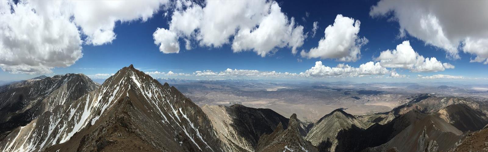
Ready to explore Boundary Peak, Nevada? Here's everything you need to know before you go!
Discover the trail
Trail description
The Route
The standard approach starts from the Queen Mine trailhead, accessed via Trail Canyon Road off Highway 264. The road is unpaved and can be rough, so a high-clearance vehicle is strongly recommended, especially after any precipitation. The trailhead sits at a significant elevation already, which helps reduce the total climbing required to reach the summit.
From the trailhead, the route follows a use trail up the drainage and then climbs steeply toward the ridge. The path is well-worn from years of highpointers making the same journey, but it's not a maintained trail in the traditional sense — there are no blazes, no signs on the upper mountain, and no infrastructure beyond what hikers have created through repeated use.
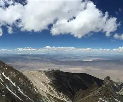
The ridge walk leading to the summit is one of the highlights of the climb. You get wide, sweeping views in every direction — the Owens Valley to the west, the Nevada basin and range country stretching east, and the White Mountains ridge running north and south. On a clear day, the Sierra Nevada is a dramatic backdrop.
One thing worth knowing: Montgomery Peak, which sits just across the California border, is actually 298 feet higher than Boundary Peak. The two summits are close together on the ridge, and some hikers tag both. If you're doing this strictly as a Nevada highpoint, Boundary Peak is your target — but the proximity of Montgomery Peak makes the side trip tempting for those with the energy.
Everything you need for your next hike. Bilingual, printable, 1 page.
Get your free hiking checklistRecommended gear for this trail
As an Amazon Associate I earn from qualifying purchases.


Ready to go?
Everything you need to know before you goWhen?
As an Amazon Associate I earn from qualifying purchases.
Affiliate links — LGPO may earn a commission at no extra cost to you.
- Hiking shoes Essential
- → Salomon Elixir Tour Mid WP · 203.38 $
- Layered clothing Essential
- Rain jacket Essential
- Trekking poles
- → Black Diamond Trail Ergo Cork · 69.99 $
- Headlamp
- → Petzl Actik Core 625 · 103.95 $
FAQ - Frequently asked questions
Everything you need to knowOutings near Boundary Peak, Nevada
Discover other trails you might enjoy
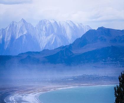
Glass Mountain, California
Sierra Nevada · 32.3 km away
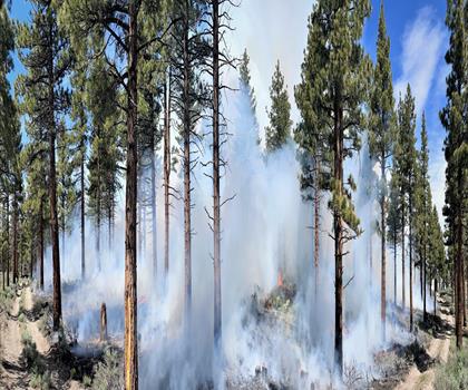
Long Valley Caldera, California
Sierra Nevada · 49.0 km away

Silver Peak, Nevada
Frontier Territory · 50.6 km away
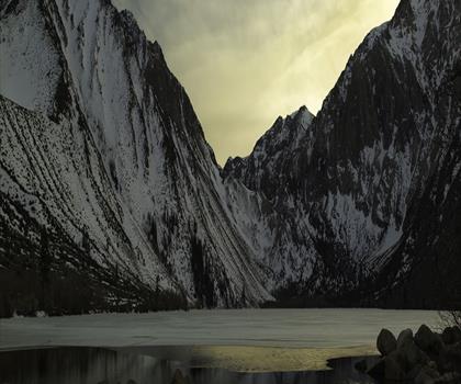
Mount Morrison, California
Sierra Nevada · 54.8 km away
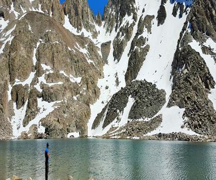
Bloody Mountain, California
Sierra Nevada · 58.4 km away
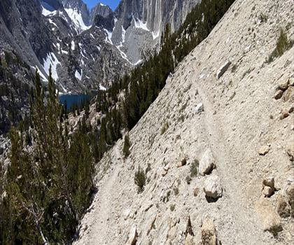
Mount Hopkins, California
Sierra Nevada · 58.8 km away
Hiking near Victoria
105 trails to explore ~1244 km away
We work hard to provide the most up-to-date and error-free data possible. If something seems incorrect, let us know! Your contribution helps the whole community.
Hikers' opinions
Be the first to review!
No hiker has shared their experience yet. Share your impressions and help other hikers!