
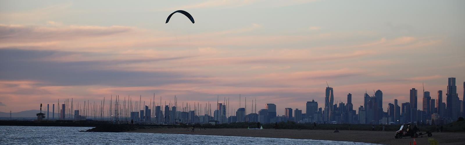
Ready to explore North Branch Trail? Here's everything you need to know before you go!
Discover the trail


Photos: Bhullargraphic — CC BY-SA 4.0 (Wikimedia Commons) bradhoc — CC BY 2.0 (Wikimedia Commons)
Trail description
The North Branch Trail is a paved trail in Cook County, Illinois, managed by the Forest Preserve District of Cook County. It follows the North Branch of the Chicago River from Chicago, runs through forest preserves, passes the Skokie Lagoons and reaches the Chicago Botanic Garden in Glencoe. Wikipedia classes it as a Class I bicycle trail; the tourism site Enjoy Illinois says it is open to bicyclists and hikers.
Length
Sources disagree. Enjoy Illinois lists 20 miles (32 km) between Caldwell and Devon in Chicago and the Chicago Botanic Garden. Streetsblog Chicago wrote in 2017 that the southern extension brings the total to 22 miles (35 km). Wikipedia gives 36.7 miles (59.1 km) in its infobox and about 22 miles (35 km) in its text. For a walk, the easiest approach is to pick one section and turn back.
The route
The southern extension, opened in two stages in 2016 and 2017, links Caldwell and Devon to the Irene C. Hernandez Picnic Area at Foster and Kostner, near North Mayfair; a short path there connects to the Chicago Park District's Gompers Park. Between Forest Glen and LaBagh Woods the trail runs alongside the river, then passes under the Edens Expressway and under Cicero Avenue.
Farther north the trail splits at Tower Road and loops around the Skokie Lagoons. A plaque honours the Civilian Conservation Corps work, east of the Edens Expressway and north of Willow Road. The trail ends at Dundee Road; from there you can continue to the Chicago Botanic Garden through its south service entrance. An extension opened in August 2014 runs along Lake-Cook Road from the Botanic Garden to the Green Bay Trail.
Access and parking
LaBagh Woods and the Chicago Botanic Garden are the two trailheads of the route. Parking is available in several places, including Harms Woods (Skokie) and the Tower Road boat launch. A gravel equestrian trail runs parallel along part of the route.
Before you go
The Forest Preserve District of Cook County is the contact for dog rules, any fees and opening hours (phone listed by Enjoy Illinois: 708-366-9420).
Services and amenities
The Essential Hiking Checklist
Everything you need for your next hike. Bilingual, printable, 1 page.
Get your free hiking checklistRecommended gear for this trail
As an Amazon Associate I earn from qualifying purchases.


Ready to go?
Everything you need to know before you goWhen?
As an Amazon Associate I earn from qualifying purchases.
Affiliate links — LGPO may earn a commission at no extra cost to you.
- Hiking shoes Essential
- → Salomon Elixir Tour Mid WP · 203.38 $
- Layered clothing Essential
- Rain jacket Essential
- Trekking poles
- → Black Diamond Trail Ergo Cork · 69.99 $
- Headlamp
- → Petzl Actik Core 625 · 103.95 $
FAQ - Frequently asked questions
Everything you need to knowSimilar hikes nearby
Discover other trails you might enjoy


Hiking near Kitchener
144 trails to explore ~616 km away
We work hard to provide the most up-to-date and error-free data possible. If something seems incorrect, let us know! Your contribution helps the whole community.
Hikers' opinions
Be the first to review!
No hiker has shared their experience yet. Share your impressions and help other hikers!