


Ready to explore Roslindale, Boston? Here's everything you need to know before you go!
Discover the trail
Oh no! We don't have any photos 😢
This trail hasn't been captured yet. Be the first to share your adventure!Trail description
Roslindale is one of Boston's most livable and walkable neighborhoods, tucked into the southwestern corner of the city between West Roxbury, Jamaica Plain, and Mattapan. It's the kind of place that rewards people who slow down and explore on foot — a mix of tree-lined streets, community green spaces, and easy access to some of Boston's best urban natural areas. Whether you're a local looking for a regular outdoor escape or a visitor wanting to see a side of Boston that goes beyond the Freedom Trail, Roslindale is worth your time.
The Neighborhood Feel
Roslindale has a strong neighborhood identity built around Roslindale Square, a compact commercial hub with independent shops, restaurants, and a farmers market that runs seasonally. The streets around the square are genuinely pleasant to walk — wide sidewalks, mature street trees, and a mix of triple-deckers and single-family homes that give the area a grounded, lived-in character. It doesn't feel like a tourist destination, and that's part of the appeal.
The neighborhood sits at a slightly elevated position compared to surrounding areas, which means you'll notice gentle rolling terrain as you move through it on foot. Nothing dramatic, but enough to give certain streets and green spaces a sense of openness and good sightlines.
Green Spaces and Natural Areas
Roslindale's biggest draw for outdoor enthusiasts is its proximity to the Arnold Arboretum, which sits right on the neighborhood's northern edge along the Jamaica Plain border. Managed by Harvard University, the Arboretum is one of the oldest public arboreta in North America and covers a significant stretch of land with rolling hills, labeled tree collections, and well-maintained paths. It connects directly into Boston's Emerald Necklace park system, so you can extend a walk considerably without ever getting in a car.
Within Roslindale itself, Healy Field and Fallon Field serve as active recreation spaces, while smaller pocket parks are scattered throughout the residential streets. The neighborhood also borders the West Roxbury Parkway greenway corridor, which offers a more linear walking and running route with tree cover.
The Arboretum Connection
If you're based in Roslindale and want a proper walking or hiking experience, the Arnold Arboretum is the natural starting point. You can enter from multiple gates, and the internal path network winds through distinct plant collections — conifers, lilacs, bonsai, and more — across varied topography. Peters Hill, located in the Roslindale section of the Arboretum, is the highest point in the park and offers a 360-degree view of the Boston skyline and surrounding neighborhoods. It's a legitimate destination on its own, not just a footnote.
The Arboretum is free and open year-round, though the visitor center hours vary by season. Dogs are allowed on leash. The paths are a mix of paved carriage roads and unpaved trails, so the terrain is accessible for most fitness levels.
Getting Around on Foot
Roslindale is well-served by the MBTA Orange Line and the Needham Line commuter rail, with Roslindale Village station sitting right in the heart of the neighborhood. This makes it genuinely easy to arrive without a car and start walking immediately. From the station, you can reach the Arnold Arboretum on foot in under 15 minutes heading north, or explore the neighborhood streets in any direction.
The street grid is mostly walkable, though some sections near the parkways require a bit more attention to navigate safely on foot. Overall, the neighborhood is pedestrian-friendly by Boston standards.
What to Expect on a Walk Here
A typical outing in Roslindale combines neighborhood walking with green space exploration. You might start at Roslindale Square, pick up a coffee, then head north toward the Arboretum for a loop through the tree collections and up Peters Hill. On the way back, you can cut through residential streets and catch some of the neighborhood's architectural character — a mix of late 19th and early 20th century housing stock that's well-preserved in many blocks.
The terrain is gentle enough that this is a comfortable outing for families with kids or anyone who wants a relaxed pace. At the same time, if you link up with the broader Emerald Necklace trail system from the Arboretum, you can extend the distance significantly and get a more substantial workout.
Practical Information
- Access: Easily reached by MBTA Orange Line or Needham commuter rail (Roslindale Village station). Street parking is available throughout the neighborhood.
- Arnold Arboretum: Free admission, open year-round. Multiple entry gates accessible from Roslindale and Jamaica Plain.
- Dogs: Allowed on leash in the Arboretum and most neighborhood green spaces.
- Terrain: Mostly flat to gently rolling. Peters Hill in the Arboretum is the most notable elevation gain in the area.
- Facilities: Restrooms available at the Arboretum visitor center. Roslindale Square has cafés, restaurants, and a pharmacy within easy walking distance.
- Best entry point for walkers: Roslindale Village station or the South Street gate of the Arnold Arboretum.
Who This Is For
Roslindale works well for urban hikers, casual walkers, families, and anyone who wants to combine outdoor time with a genuine neighborhood experience. It's not a wilderness destination — this is Boston, after all — but it offers more green space and walkable character than most people expect from a city neighborhood. If you're staying in Boston and want a half-day outing that gets you off the tourist circuit without leaving the city, Roslindale and the Arnold Arboretum together make a solid choice.
The Essential Hiking Checklist
Everything you need for your next hike. Bilingual, printable, 1 page.
Get your free hiking checklistRecommended gear for this trail
As an Amazon Associate I earn from qualifying purchases.


Ready to go?
Everything you need to know before you goWhen?
How much?
As an Amazon Associate I earn from qualifying purchases.
Affiliate links — LGPO may earn a commission at no extra cost to you.
- Hiking shoes Essential
- → Salomon Elixir Tour Mid WP · 203.38 $
- Layered clothing Essential
- Rain jacket Essential
- Trekking poles
- → Black Diamond Trail Ergo Cork · 69.99 $
- Headlamp
- → Petzl Actik Core 625 · 103.95 $
FAQ - Frequently asked questions
Everything you need to knowSimilar hikes nearby
Discover other trails you might enjoy
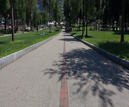
Freedom Trail
Greater Boston
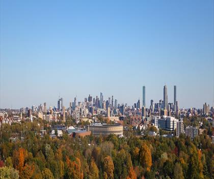
Mount Auburn Cemetery
Greater Boston
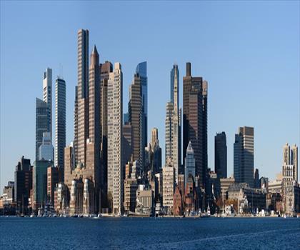
Piers Park
Greater Boston
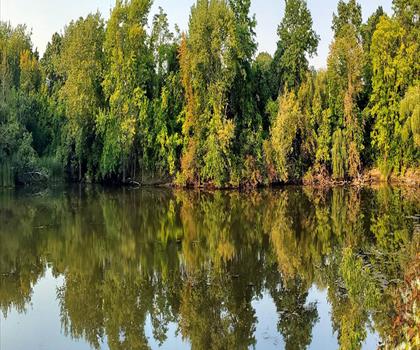
Start of Minuteman Bike Path
Greater Boston
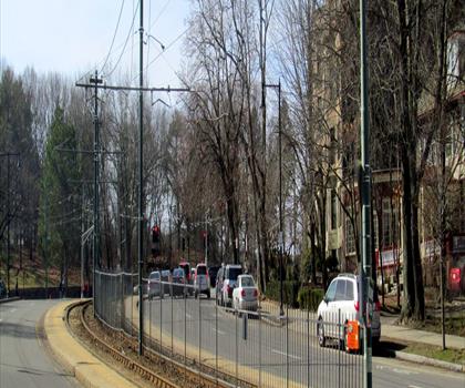
Chestnut Park at Cleveland Circle
Greater Boston
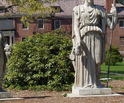
Elm Bank
Greater Boston
Hiking near Boston
0 trails to explore ~10 km away
We work hard to provide the most up-to-date and error-free data possible. If something seems incorrect, let us know! Your contribution helps the whole community.
Hikers' opinions
Be the first to review!
No hiker has shared their experience yet. Share your impressions and help other hikers!