


Ready to explore Lovewell Mountain Trail? Here's everything you need to know before you go!
Discover the trail
Oh no! We don't have any photos 😢
This trail hasn't been captured yet. Be the first to share your adventure!Trail description
Lovewell Mountain Trail winds through the quiet corners of Pillsbury State Park in New Hampshire's Monadnock Region, offering hikers a genuine escape from the crowds that flock to more famous peaks. At 3.2 kilometers with 430 meters of elevation gain, this moderate hike strikes that sweet spot between accessible and rewarding — a solid choice whether you're breaking in new boots or simply looking for a peaceful day in the woods.
The trail's moderate rating comes from steady, consistent climbing rather than technical challenges. The path is well-defined throughout, though roots and rocks demand careful footing in a few spots. The ascent feels gradual enough that conversations flow easily, but you'll definitely feel it in your legs by the time you reach the summit. Budget around 2 hours and 15 minutes for the full hike at a comfortable pace.
The Hiking Experience
From the trailhead, you step immediately into thick New England woodland. The canopy filters sunlight into dappled patterns on the forest floor, and the sound of footsteps on packed earth sets a steady rhythm early on. This isn't a trail where dramatic views unfold around every corner — it builds anticipation as you climb steadily through the trees, rewarding patience over spectacle.
The forest supports a healthy mix of hardwoods and conifers, the kind of habitat that attracts white-tailed deer, especially if you move quietly during early morning or late afternoon. Bird life is consistently active, with native species providing a soundtrack that shifts with the seasons. Spring brings returning migratory songbirds; autumn sees increased wildlife activity as animals prepare for winter.
As you gain elevation, the character of the forest subtly changes. The understory opens up, and occasional glimpses through the trees hint at what's waiting above. The final push to the summit asks a bit more of your legs, but the trail stays well-maintained and straightforward to follow throughout.
Summit Views
Lovewell Mountain's summit delivers panoramic views across the Monadnock Region that make every step worthwhile. The vista stretches over rolling hills and valleys, with layers of forested ridges extending toward the horizon. On clear days, the view takes in the patchwork of protected forests, small communities, and distant peaks that define this part of New Hampshire.
The summit area is spacious enough for groups to spread out comfortably. Unlike busier peaks where you're jockeying for photo spots, Lovewell Mountain typically offers plenty of room to relax and soak in the scenery. The low foot traffic here is one of the trail's greatest assets — it's entirely possible to spend time at the top without seeing another soul.
Seasonal changes along this trail are particularly striking. Spring brings wildflowers to the forest floor, including trilliums, bloodroot, and wild violets beneath the emerging canopy. Summer offers full green coverage and the best wildlife viewing. Autumn transforms the entire hike into a showcase of New England foliage, with maples, birches, and oaks putting on a display that typically peaks in early to mid-October.
Planning Your Visit
Sturdy hiking boots are essential. The trail includes sections with exposed roots and rocks that get slippery when wet, and ankle support matters on the steeper sections near the summit. Bring more water than you think you'll need — the steady climbing and fresh mountain air increase consumption, and there are no reliable water sources along the route.
Cell service is unreliable for most of the hike. Download offline maps before you leave, or carry a paper map and compass as backup. While the trail is well-marked, having a navigation backup is always smart, particularly during leaf-off season when trail markers can be harder to spot.
Weather can shift quickly in the mountains. Even on warm valley days, the summit can be noticeably cooler and windier. Pack an extra layer and consider a light rain jacket, especially during spring and fall when conditions are less predictable. The trail is hikeable year-round, though winter visits require microspikes or snowshoes depending on snow depth and ice.
Leave It As You Found It
Part of what makes Lovewell Mountain worth visiting is its unspoiled character. The relatively light foot traffic here means individual impact carries more weight than on heavily used routes. Follow Leave No Trace principles — pack out all trash, stay on designated trails to prevent erosion, and give wildlife plenty of space. Take extra care around the summit area to avoid trampling vegetation, and resist the urge to cut switchbacks or create social trails. The forest ecosystem here benefits directly from that kind of mindfulness.
The Essential Hiking Checklist
Everything you need for your next hike. Bilingual, printable, 1 page.
Get your free hiking checklistRecommended gear for this trail
As an Amazon Associate I earn from qualifying purchases.


Ready to go?
Everything you need to know before you goStarting Point
The lovewell mountain trail is located in the town of Wilmot, New Hampshire. To get to the trailhead, take Route 4 east from the town of Andover. The trailhead is located on the left side of the road just past the summit of Lovewell Mountain.
When?
How much?
As an Amazon Associate I earn from qualifying purchases.
Affiliate links — LGPO may earn a commission at no extra cost to you.
- Hiking shoes Essential
- → Salomon Elixir Tour Mid WP · 203.38 $
- Layered clothing Essential
- Rain jacket Essential
- Trekking poles
- → Black Diamond Trail Ergo Cork · 69.99 $
- Headlamp
- → Petzl Actik Core 625 · 103.95 $
FAQ - Frequently asked questions
Everything you need to knowSimilar hikes nearby
Discover other trails you might enjoy
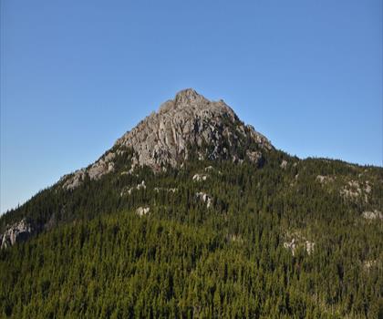
Gap Mountain
Monadnock Region

Wapack National Wildlife Refuge
Monadnock Region
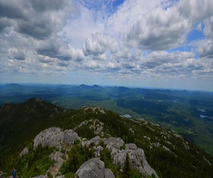
Monadnock State Park
Monadnock Region

Pack Monadnock
Monadnock Region
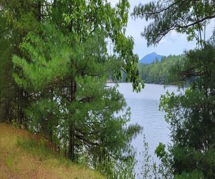
Gap Mountain Trail South
Monadnock Region

Pitcher Mountain Trailhead
Monadnock Region
Hiking near Concord
0 trails to explore ~44 km away
We work hard to provide the most up-to-date and error-free data possible. If something seems incorrect, let us know! Your contribution helps the whole community.
Hikers' opinions
Be the first to review!
No hiker has shared their experience yet. Share your impressions and help other hikers!