
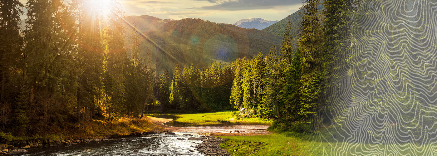

Ready to explore Brown Pond Mountain, New York? Here's everything you need to know before you go!
Discover the trail

Trail description
Brown Pond Mountain sits in the heart of the Adirondacks and delivers exactly what you'd hope for from a moderate Adirondack hike: genuine elevation gain, dense forest, a rewarding mountain pond, and summit views that make the effort feel worthwhile. At 7.08 kilometers with 1,042 meters of elevation gain, plan on roughly 4.5 hours on the trail — enough time to move at a comfortable pace without feeling rushed.
The trail starts in classic Adirondack woodland, the kind where towering hardwoods and conifers close in around you almost immediately. The forest floor is rocky and rooted, which keeps you paying attention to your footing from the first steps. The path is well-defined, but this isn't a groomed trail — expect the natural roughness that comes with Adirondack terrain.
The Climb
The elevation gain is real and consistent. You'll feel it in your legs, especially in the lower and middle sections where the trail works steadily upward through the forest. The grade stays manageable throughout — steep enough to get your heart rate up, but never so punishing that you'll need to stop and question your life choices. The trail uses the natural contours of the mountain well, with the pitch staying reasonable even as the meters accumulate underfoot.
As you gain elevation, the forest composition shifts subtly. The canopy thins in places, letting more light through and giving you occasional glimpses of the terrain ahead. These brief openings also signal that you're making real progress toward the upper sections of the mountain.
Brown Pond
One of the trail's standout features is Brown Pond itself — a quiet mountain pond tucked into the landscape that serves as both a natural rest point and a destination in its own right. On calm days, the water reflects the surrounding forest and sky with the kind of clarity that makes you stop and actually look rather than just glance. The pond's edge offers a natural spot to take a break, eat something, and let the stillness of the place settle in before continuing toward the summit.
The pond area rewards photographers willing to work the different angles along the shoreline. Early morning light hits the water particularly well, and the reflections shift throughout the day as the sun moves across the sky.
Summit Views
The summit delivers the panoramic payoff that justifies the elevation gain. From the top, you're looking out across a landscape of forested Adirondack ridges and valleys extending in every direction — the kind of view that puts the scale of this wilderness into perspective. On clear days, the visibility is substantial, with layer after layer of peaks receding toward the horizon.
The summit area has enough space to spread out comfortably. It's a good place to eat lunch and let your legs recover before the descent.
Wildlife Along the Way
White-tailed deer are commonly spotted on this route, particularly if you're moving through the lower forest sections in the early morning or late afternoon. The Adirondacks' bird population is well-represented here — you'll hear more than you'll see, but keep your eyes on the canopy and you'll pick up movement. The shift in forest character as you gain elevation brings different species into play, so the wildlife experience changes as the trail climbs.
Nearby Options
If you want to extend your time in the area, the Moose River Plains stretch out nearby with additional hiking across remote, varied terrain. For water-based activities, Raquette Lake and Long Lake are both within reach and offer paddling and swimming. Eighth Lake and Eagle Lake round out the options for those who want to explore beyond the mountain itself.
What to Bring
Standard moderate-hike gear applies here: solid footwear with good traction, plenty of water, food for the trail, and layers. The 1,042 meters of elevation gain means the summit will run noticeably cooler than the trailhead, even on warm days — a light insulating layer is worth the extra weight in your pack. Trekking poles are useful given the rocky, rooted terrain on both the ascent and descent.
Follow Leave No Trace principles throughout, and be especially mindful around the pond — the vegetation at the water's edge is sensitive, and keeping your impact minimal helps preserve what makes this spot worth visiting in the first place.
The Essential Hiking Checklist
Everything you need for your next hike. Bilingual, printable, 1 page.
Get your free hiking checklistRecommended gear for this trail
As an Amazon Associate I earn from qualifying purchases.


Ready to go?
Everything you need to know before you goStarting Point
The best way to get to the start of the trails at the brown pond mountain, new york in Adirondacks is to drive there.
The best way to get to the start of the trails at the brown pond mountain, new york in Adirondacks is to drive there.
When?
How much?
As an Amazon Associate I earn from qualifying purchases.
Affiliate links — LGPO may earn a commission at no extra cost to you.
- Hiking shoes Essential
- → Salomon Elixir Tour Mid WP · 203.38 $
- Layered clothing Essential
- Rain jacket Essential
- Trekking poles
- → Black Diamond Trail Ergo Cork · 69.99 $
- Headlamp
- → Petzl Actik Core 625 · 103.95 $
FAQ - Frequently asked questions
Everything you need to knowSimilar hikes nearby
Discover other trails you might enjoy

Algonquin Peak, New York
Adirondacks

Big Slide Mountain, New York
Adirondacks

Boundary Peak, New York
Adirondacks
Crane Mountain
Adirondacks
Avalanche Pass
Adirondacks
Ampersand Mountain, New York
Adirondacks
Hiking near Saratoga Springs
0 trails to explore ~66 km away
We work hard to provide the most up-to-date and error-free data possible. If something seems incorrect, let us know! Your contribution helps the whole community.
Hikers' opinions
Be the first to review!
No hiker has shared their experience yet. Share your impressions and help other hikers!