

Ready to explore Pigeon Mountain, New York? Here's everything you need to know before you go!
Discover the trail
Oh no! We don't have any photos 😢
This trail hasn't been captured yet. Be the first to share your adventure!Trail description
The Pinnacle Valley Trail extends 3.2 miles from the Pinnacle Lake Trailhead to County Line Lake. It climbs 895 feet in 2.8 miles up the shoulder of Pigeon Mountain, then drops 100 feet in the last 0.4 mile to the eastern shore of the lake. These figures come from the trail map published by the New York State Department of Environmental Conservation (DEC), dated April 2018.
The USGS Geographic Names Information System lists Pigeon Mountain as a summit in Fulton County, New York. The DEC map is titled Shaker Mountain Wild Forest, Pinnacle Valley Trail, and it also names Panther Mountain, Pinnacle and Shaker Mountain.
On the map, a parking symbol sits at the start of the trail, where Pinnacle Road ends, and private land is drawn beside the road. The map also shows the Chase Lake Trail beginning near the parking symbol. The DEC asks visitors to respect private property, stay on designated trails and practice Leave No Trace principles. Check with the DEC before your outing (access, parking, season, fees, dogs).
The Essential Hiking Checklist
Everything you need for your next hike. Bilingual, printable, 1 page.
Get your free hiking checklistRecommended gear for this trail
As an Amazon Associate I earn from qualifying purchases.


Ready to go?
Everything you need to know before you goStarting Point
The Pinnacle Valley Trail starts at the Pinnacle Lake Trailhead, in the Shaker Mountain Wild Forest. The DEC map shows a parking symbol at the start of the trail, where Pinnacle Road ends. Check with the DEC about access and parking before your outing.
When?
As an Amazon Associate I earn from qualifying purchases.
Affiliate links — LGPO may earn a commission at no extra cost to you.
- Hiking shoes Essential
- → Salomon Elixir Tour Mid WP · 203.38 $
- Layered clothing Essential
- Rain jacket Essential
- Trekking poles
- → Black Diamond Trail Ergo Cork · 69.99 $
- Headlamp
- → Petzl Actik Core 625 · 103.95 $
FAQ - Frequently asked questions
Everything you need to knowSimilar hikes nearby
Discover other trails you might enjoy

Algonquin Peak, New York
Adirondacks

Big Slide Mountain, New York
Adirondacks

Boundary Peak, New York
Adirondacks
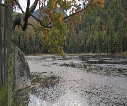
Crane Mountain
Adirondacks
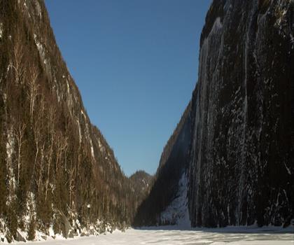
Avalanche Pass
Adirondacks
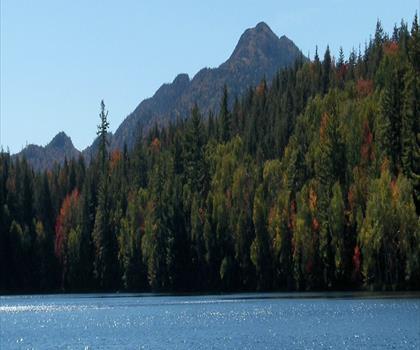
Ampersand Mountain, New York
Adirondacks
Hiking near Saratoga Springs
180 trails to explore ~54 km away
We work hard to provide the most up-to-date and error-free data possible. If something seems incorrect, let us know! Your contribution helps the whole community.
Hikers' opinions
Be the first to review!
No hiker has shared their experience yet. Share your impressions and help other hikers!