
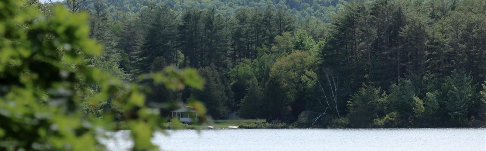

Ready to explore Stewart Mountain Trailhead Parking? Here's everything you need to know before you go!
Discover the trail

Trail description
The Stewart Mountain Trailhead parking area serves as your gateway to an accessible out-and-back hiking experience in New York's Adirondack region. This convenient trailhead offers easy access to a 1.45-kilometer route (0.9 miles round-trip) that provides a perfect introduction to Adirondack mountain scenery without requiring significant time or technical skill.
The spacious parking area sits strategically close to the trail entrance, making this an ideal choice for hikers seeking a quick mountain experience. This thoughtful positioning means minimal transition time between arriving and hitting the trail.
Trail Experience and Terrain
Stewart Mountain Trail delivers an easy 1.45-kilometer journey that typically requires about 30-60 minutes to complete, making it suitable for families with children and hikers of all fitness levels. The trail gains 55 meters of elevation through a well-designed route that provides a genuine mountain experience without technical demands.
The path winds through the characteristic mixed forests of the Adirondacks, featuring diverse hardwood and coniferous species. The moderate ascent unfolds at a comfortable pace with the forest canopy providing natural shade during warmer months.
Summit Views and Rewards
The steady climb culminates in rewarding views that showcase the character of the Adirondack landscape. These elevated viewpoints serve as natural rest stops where you can appreciate the surrounding wilderness.
Essential Preparation and Gear
Sturdy hiking boots are recommended for reliable traction across varied terrain. While this is a short hike, bring adequate water and weather-appropriate layers. Navigation tools and a map remain important even on well-marked trails.
Regional Connections
Stewart Mountain Trail offers convenient access to the broader Adirondack region, with additional trailheads and natural features within easy driving distance.
The Essential Hiking Checklist
Everything you need for your next hike. Bilingual, printable, 1 page.
Get your free hiking checklistRecommended gear for this trail
As an Amazon Associate I earn from qualifying purchases.


Ready to go?
Everything you need to know before you goStarting Point
The stewart mountain trailhead parking is located in New York. To get there, take the New York State Thruway to Exit 16 (Saugerties). Take Route 32 north for about 9 miles. Turn left onto Route 212 and go about 1.5 miles. Turn right onto Platte Clove Road and go about 5 miles. The trailhead parking lot will be on the right.
When?
How much?
As an Amazon Associate I earn from qualifying purchases.
Affiliate links — LGPO may earn a commission at no extra cost to you.
- Hiking shoes Essential
- → Salomon Elixir Tour Mid WP · 203.38 $
- Layered clothing Essential
- Rain jacket Essential
- Trekking poles
- → Black Diamond Trail Ergo Cork · 69.99 $
- Headlamp
- → Petzl Actik Core 625 · 103.95 $
FAQ - Frequently asked questions
Everything you need to knowSimilar hikes nearby
Discover other trails you might enjoy

Algonquin Peak, New York
Adirondacks

Big Slide Mountain, New York
Adirondacks

Boundary Peak, New York
Adirondacks
Crane Mountain
Adirondacks
Avalanche Pass
Adirondacks
Ampersand Mountain, New York
Adirondacks
Hiking near Saratoga Springs
0 trails to explore ~66 km away
We work hard to provide the most up-to-date and error-free data possible. If something seems incorrect, let us know! Your contribution helps the whole community.
Hikers' opinions
Be the first to review!
No hiker has shared their experience yet. Share your impressions and help other hikers!