
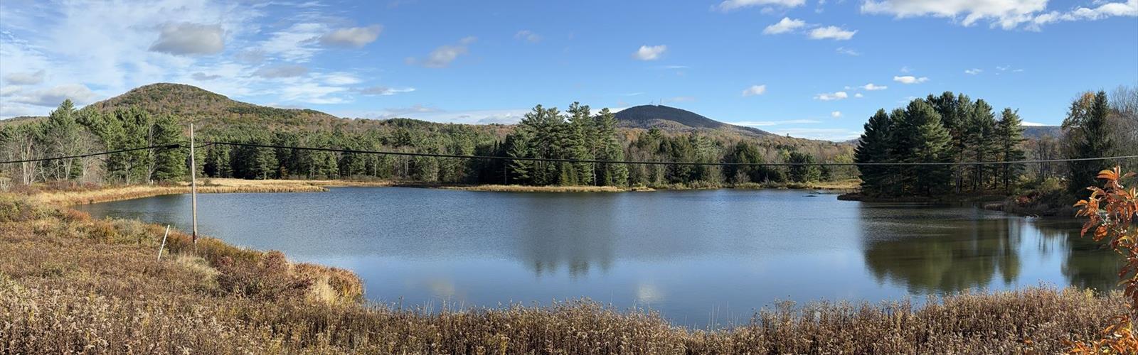

Ready to explore Mount Jefferson, New York? Here's everything you need to know before you go!
Discover the trail
Trail description
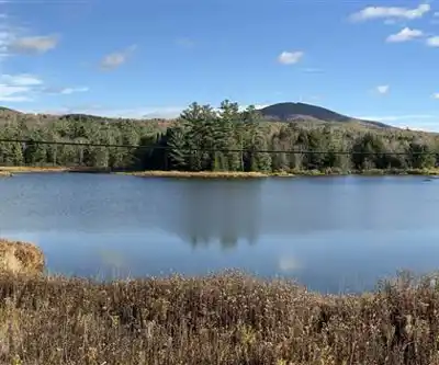
Mount Jefferson sits in the heart of New York's Leatherstocking Region, offering a hike that punches well above its easy difficulty rating. With 835 meters of elevation gain packed into a 3.2-kilometer trail, this is a climb that will genuinely test your legs — even if the path itself is straightforward and well-maintained. Plan for around two hours and fifteen minutes to complete the route, and don't let the "easy" label fool you into underestimating the physical effort involved.
The Trail Experience
From the trailhead, the path eases you in gradually through dense mixed forest. Deciduous and coniferous trees share the canopy here, and the lower sections have a quiet, enclosed feel — the kind of forest where you stop hearing road noise almost immediately and start noticing bird calls instead. The trail is well-marked throughout, so you can keep your attention on the climb rather than on navigation.
As you gain elevation, the character of the hike shifts. The forest thins slightly, the light changes, and the steady upward pitch becomes more pronounced. The 835 meters of elevation gain is the defining feature of this trail — it's what makes Mount Jefferson memorable and what separates it from a casual woodland walk. The footing stays reliable throughout, but your legs will know they've worked by the time you reach the top.
Wildlife is part of the experience on this trail. The forests of the Leatherstocking Region support a healthy variety of bird species, and you're likely to hear more than you see. Keep an eye on the forest floor and trailside vegetation as well — wildflowers appear along the path during late spring and into summer, adding color to the green surroundings.
At the Summit
The payoff at the top is a panoramic view over the Leatherstocking Region's rolling, forested landscape. On a clear day, the ridgelines stack up toward the horizon in every direction — a reminder of just how much unbroken forest this part of New York still holds. It's a good spot to catch your breath, eat something, and take in the scale of what you've just climbed.
The contrast between the enclosed forest trail and the open summit is one of the more satisfying parts of this hike. After spending most of the ascent surrounded by trees, the sudden openness at the top gives the whole effort a clear sense of completion.
Practical Information
The 3.2-kilometer distance is short enough that you don't need to treat this as a full-day expedition, but the elevation gain means you should still come prepared. Bring enough water for the climb — the sustained uphill effort in warmer months will have you reaching for your bottle more than you might expect. Starting earlier in the day is a smart move during summer, both to avoid afternoon heat and to give yourself the best chance at clear summit views before any afternoon haze or cloud builds in.
Footwear with solid ankle support and good grip is worth wearing here. The trail surface is reliable, but the steeper sections of the climb are more comfortable with proper hiking shoes or boots rather than casual sneakers.
The Leatherstocking Region Setting
Mount Jefferson is located in one of New York's most distinctive inland regions. The Leatherstocking area — named after James Fenimore Cooper's fictional frontier hero — is characterized by its rolling hills, dense hardwood forests, and a quieter, less-trafficked feel compared to the Catskills or Adirondacks. It's a region that rewards hikers who are willing to explore beyond the better-known mountain destinations in the state.
The small towns scattered through the region are worth exploring before or after your hike. They carry a genuine sense of local history and offer straightforward post-hike options for food and rest without the tourist infrastructure of larger outdoor recreation hubs.
For hikers based in central New York looking for a trail that delivers real elevation gain on a manageable distance, Mount Jefferson is a solid choice that earns its place on the regional hiking map.
The Essential Hiking Checklist
Everything you need for your next hike. Bilingual, printable, 1 page.
Get your free hiking checklistRecommended gear for this trail
As an Amazon Associate I earn from qualifying purchases.


Ready to go?
Everything you need to know before you goStarting Point
To access the hiking trails, you can start at the primary trailhead located at the end of Camp Road, which is accessible from Route 30. There is a parking lot available for hikers. Additionally, another trailhead can be found on State Route 10, with parking facilities nearby. Both locations provide convenient entry points to explore the trails.
When?
How much?
As an Amazon Associate I earn from qualifying purchases.
Affiliate links — LGPO may earn a commission at no extra cost to you.
- Hiking shoes Essential
- → Salomon Elixir Tour Mid WP · 203.38 $
- Layered clothing Essential
- Rain jacket Essential
- Trekking poles
- → Black Diamond Trail Ergo Cork · 69.99 $
- Headlamp
- → Petzl Actik Core 625 · 103.95 $
FAQ - Frequently asked questions
Everything you need to knowSimilar hikes nearby
Discover other trails you might enjoy
Brewer Lake
Leatherstocking Region
Moose River
Leatherstocking Region
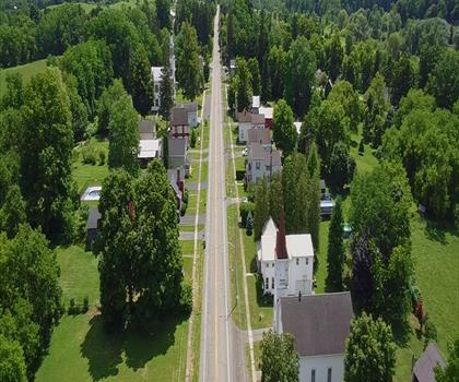
BREIA ski trails @ Egypt Rd.
Leatherstocking Region
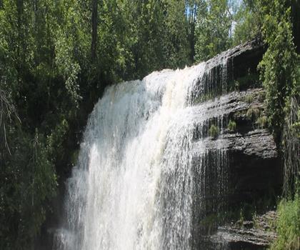
Delphi Falls County Park
Leatherstocking Region
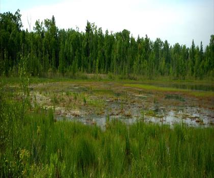
Mud Lake
Leatherstocking Region
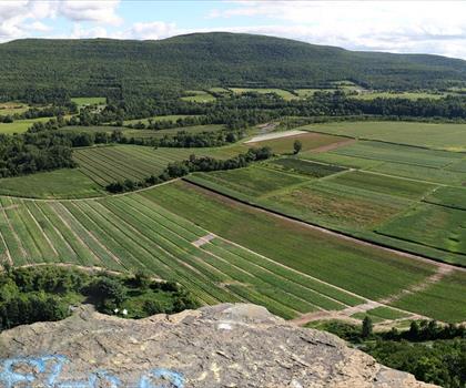
Vroman's Nose Hiking Trail
Leatherstocking Region
Hiking near Albany
0 trails to explore ~74 km away
We work hard to provide the most up-to-date and error-free data possible. If something seems incorrect, let us know! Your contribution helps the whole community.
Hikers' opinions
Be the first to review!
No hiker has shared their experience yet. Share your impressions and help other hikers!