
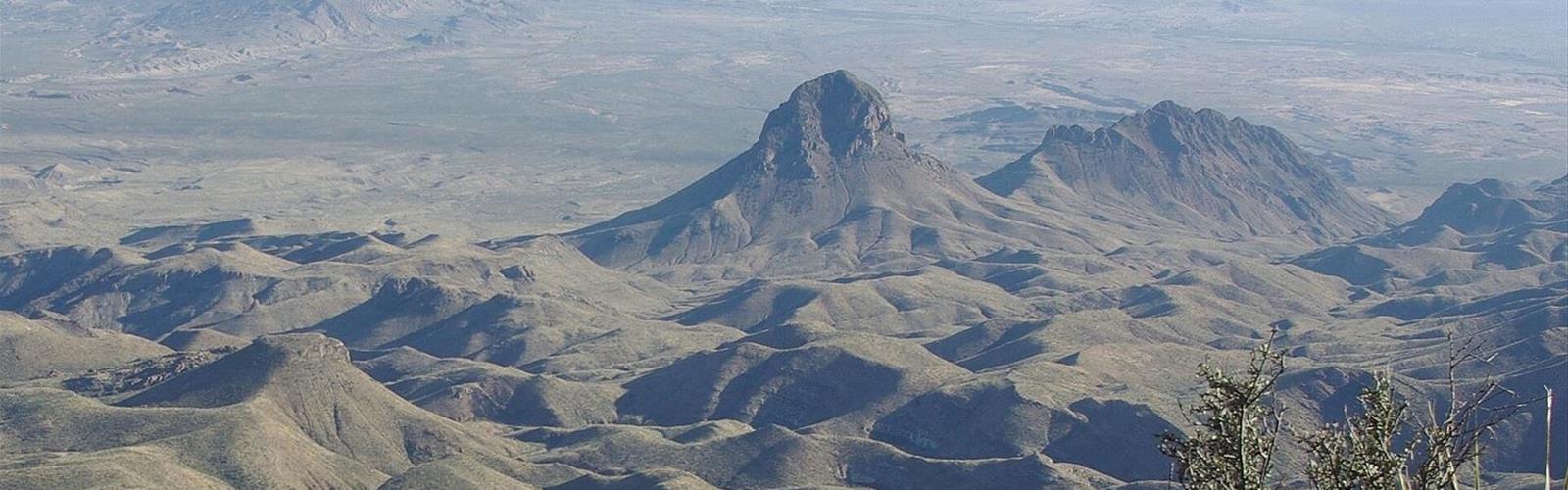
Ready to explore Elephant Tusk? Here's everything you need to know before you go!
Discover the trail
Trail description
The Summit
Elephant Tusk stands 5,254 feet (1,601 m) above sea level in Brewster County, Texas, inside Big Bend National Park. According to Wikipedia, it rises 1,950 feet (594 m) above the surrounding terrain in one-half mile (0.8 km). It is an igneous intrusion of rhyolite that formed about 29 million years ago, during the Oligocene. The U.S. Board on Geographic Names adopted the current name in 1939; maps had previously labeled it "Indianola Peak," starting in 1905.
Getting to the Trailhead
According to the NPS, the Elephant Tusk primitive roadside campsite (EL-1) is at the southern end of Black Gap Road, across from the trailhead (Elephant Tusk Trailhead). The NPS recommends approaching from the south via River Road and says reaching the campsite from the paved road takes about three hours. River Road is maintained for high-clearance vehicles only; after rain it can get very muddy and may become impassable to all vehicles. The northern section of Black Gap Road is not maintained: the NPS calls it very rugged, 4x4 required.
On the Trail
The Elephant Tusk Trail meets the Dodson Trail; the NPS describes the junction in its Outer Mountain Loop itinerary. The NPS also warns that many park trails, especially in the desert areas, are poorly defined and can be difficult to follow, and recommends carrying a topographic map and compass. According to Wikipedia, the easiest route to the summit is class 4 scrambling.
Water, Heat and Safety
- Water: the NPS says there are no reliable water sources in the backcountry, and that springs shown on maps are unreliable. It recommends at least one gallon (about 3.8 L) per person per day.
- Heat: the NPS advises planning hikes for early morning and avoiding the midday summer heat.
- Communications: the NPS says cell phone service is limited or non-existent in many areas of the park. It advises always telling someone where you are going and when you plan to return.
- At the trailhead: the nearby campsite has no shade, toilets or other amenities, according to the NPS.
Dogs, Entrance Fees and Permits
Pets are not allowed on trails in the park, according to the NPS. The park entrance fee is US$30 per private vehicle or US$15 per person on foot (free under 16), valid for 7 days, according to the fees published by the NPS. A backcountry permit is required to use any backcountry campsite, including the Elephant Tusk site.
Who It Suits
This outing suits hikers who can navigate a poorly defined trail, carry all their own water and are comfortable with a 4x4 access road. It is not a beginner outing.
Everything you need for your next hike. Bilingual, printable, 1 page.
Get your free hiking checklistRecommended gear for this trail
As an Amazon Associate I earn from qualifying purchases.


Ready to go?
Everything you need to know before you goStarting Point
The trailhead (Elephant Tusk Trailhead) is across from the Elephant Tusk primitive roadside campsite (EL-1), at the southern end of Black Gap Road, in Big Bend National Park.
When?
As an Amazon Associate I earn from qualifying purchases.
Affiliate links — LGPO may earn a commission at no extra cost to you.
- Hiking shoes Essential
- → Salomon Elixir Tour Mid WP · 203.38 $
- Layered clothing Essential
- Rain jacket Essential
- Trekking poles
- → Black Diamond Trail Ergo Cork · 69.99 $
- Headlamp
- → Petzl Actik Core 625 · 103.95 $
FAQ - Frequently asked questions
Everything you need to knowOutings near Elephant Tusk
Discover other trails you might enjoy

North Franklin Mountain
Big Bend Country
Emory Peak
Big Bend Country
Red & White Loop
Big Bend Country
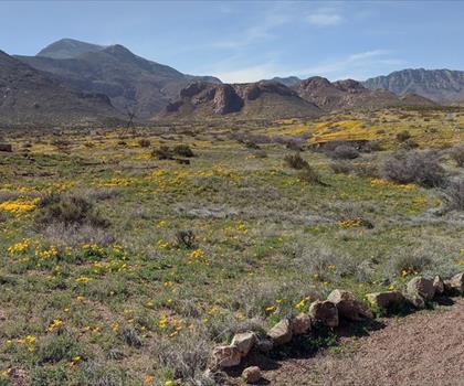
North Mount Franklin
Big Bend Country
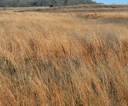
Attwater Prairie Chicken National Wildlife Refuge
Big Bend Country
Kerr _ 2
Big Bend Country
Hiking near Brandon
6 trails to explore ~2314 km away
We work hard to provide the most up-to-date and error-free data possible. If something seems incorrect, let us know! Your contribution helps the whole community.
Hikers' opinions
Be the first to review!
No hiker has shared their experience yet. Share your impressions and help other hikers!