
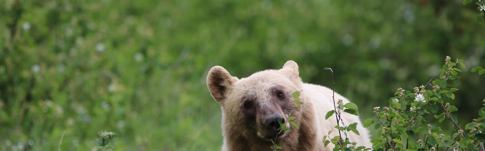

Ready to explore Mount Galwey? Here's everything you need to know before you go!
Discover the trail
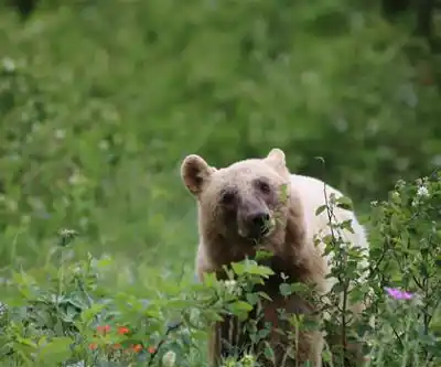
Photos: Thank you for visiting my page from Canada — CC BY 2.0 (Wikimedia Commons)
Trail description
Mount Galwey is a demanding summit in the Canadian Rockies of Alberta, offering one of those full-day objectives that rewards experienced hikers with serious elevation gain and a genuine sense of accomplishment. At 8.5 km with 2,348 m of elevation gain, this is not a casual outing — it's a committing mountain route that asks a lot and gives back accordingly.
The Route
The hike covers 8.5 km and typically takes around 7 hours and 30 minutes to complete. That pace reflects the relentless nature of the terrain: the elevation gain of 2,348 m packed into a relatively short horizontal distance means you're climbing steeply for most of the day. This is the kind of route where your legs know exactly what they did by the time you're back at the trailhead.
The difficulty is rated Hard, and that rating is earned. Expect a mix of trail, open slopes, and likely some scrambling as you gain elevation toward the summit. The Canadian Rockies are known for their loose shale, exposed ridgelines, and rapidly changing weather — all of which can be factors on a route with this much vertical.
What to Expect on the Mountain
With nearly 2,350 m of elevation gain, you'll move through dramatically different terrain as you climb. Lower sections typically pass through subalpine forest before breaking out into open alpine terrain — rocky slopes, talus fields, and the kind of wide-open views that define the Canadian Rockies. Higher up, the route becomes more exposed, and route-finding may require attention depending on conditions.
The summit itself sits high enough to offer sweeping views of the surrounding peaks and valleys. On a clear day in the Rockies, that kind of vantage point is hard to beat. But getting there demands sustained effort — this isn't a hike where you can coast on flat sections to recover.
Difficulty and Fitness Requirements
Mount Galwey is best suited for hikers who are already comfortable with long days in the mountains and significant elevation gain. If you've done big days in the Rockies before and felt strong, this route is a natural next step. If you're newer to alpine hiking, it's worth building up to this one — the combination of distance, gain, and mountain terrain leaves little margin for underestimating the objective.
Strong navigation skills are an asset. In the upper alpine, trails can fade or disappear entirely, and the ability to read terrain and stay oriented is important. Trekking poles are genuinely useful here given the sustained descent on the way back down.
Gear and Preparation
- Start early. A 7.5-hour estimate assumes good conditions and a steady pace. Getting an alpine start gives you the best chance of summiting before afternoon weather rolls in.
- Layers are essential. Conditions at the summit will be significantly colder and windier than at the trailhead. Pack a wind shell and insulating layer regardless of the forecast.
- Bring enough water and food. A full day of hard climbing burns through both quickly. There may not be reliable water sources on the upper mountain.
- Sturdy footwear. Hiking boots with ankle support and solid grip are the right call for this kind of terrain. Trail runners can work for experienced hikers who know what they're getting into, but this is not a route for casual footwear.
- Check the weather. Mountain weather in the Canadian Rockies can shift fast. Afternoon thunderstorms are a real risk in summer, and being on an exposed summit or ridge when one rolls in is a situation worth avoiding.
Season and Timing
The window for Mount Galwey typically runs from mid-summer through early fall, once snow has cleared from the upper slopes. Snow can linger well into June at this elevation, and early-season attempts may require an ice axe and crampons depending on conditions. By late July and August, the route is generally in its best shape. September can still offer excellent conditions, though the days are shorter and snow can return early at altitude.
Getting There
Mount Galwey is located in the Canadian Rockies of Alberta. Confirm current access road conditions and trailhead details before heading out, as mountain access points can vary by season and are occasionally affected by closures or road conditions.
This is the kind of summit that sticks with you — not because it's easy, but because it isn't.
The Essential Hiking Checklist
Everything you need for your next hike. Bilingual, printable, 1 page.
Get your free hiking checklistRecommended gear for this trail
As an Amazon Associate I earn from qualifying purchases.


Ready to go?
Everything you need to know before you goStarting Point
The mount galwey trails are located in the town of Cochrane, Alberta. To get to the start of the trails, take Highway 1A west out of Cochrane and turn left onto Range Road 274. The trailhead is located at the end of the road.
When?
How much?
As an Amazon Associate I earn from qualifying purchases.
Affiliate links — LGPO may earn a commission at no extra cost to you.
- Hiking shoes Essential
- → Salomon Elixir Tour Mid WP · 203.38 $
- Layered clothing Essential
- Rain jacket Essential
- Trekking poles
- → Black Diamond Trail Ergo Cork · 69.99 $
- Headlamp
- → Petzl Actik Core 625 · 103.95 $
FAQ - Frequently asked questions
Everything you need to knowSimilar hikes nearby
Discover other trails you might enjoy
Mount Alderson
Southern Rockies
Sofa Mountain
Southern Rockies
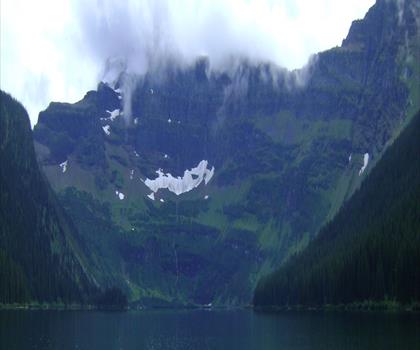
Cameron Lake
Southern Rockies
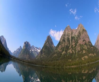
Crypt Lake Trail
Southern Rockies
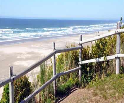
Driftwood Beach
Southern Rockies
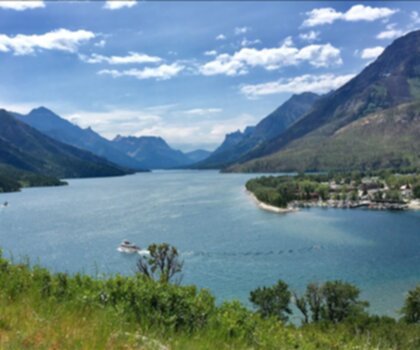
Waterton Lakes National Park of Canada
Southern Rockies
Hiking near Calgary
120 trails to explore ~214 km away
We work hard to provide the most up-to-date and error-free data possible. If something seems incorrect, let us know! Your contribution helps the whole community.
Hikers' opinions
Be the first to review!
No hiker has shared their experience yet. Share your impressions and help other hikers!