
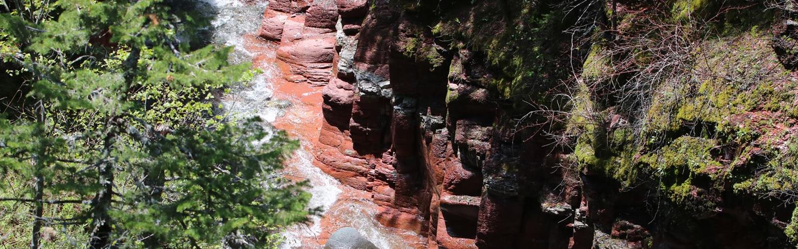

Ready to explore Blakiston Falls? Here's everything you need to know before you go!
Discover the trail
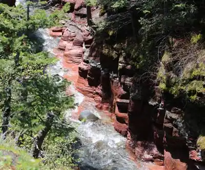
Photos: Thank you for visiting my page from Canada — CC BY 2.0 (Wikimedia Commons)
Available trails
| TrailTrails | Dist.Distance | GainElevation | TimeDuration | Difficulty | GPX |
|---|---|---|---|---|---|
|
|
2.88 km | — | 38min | GPX |
GPX track: © OpenStreetMap contributors — ODbL 1.0
Trail description
Blakiston Falls is one of the most rewarding short hikes in Waterton Lakes National Park — a genuine waterfall experience that doesn't ask much of you in return. At just 2 km with only 30 metres of elevation gain, this trail is as accessible as it gets in the Canadian Rockies, yet it delivers the kind of scenery that makes you stop walking just to take it all in.
The falls are named after Thomas Blakiston, a British officer and naturalist who explored this corner of Alberta during the Palliser Expedition in the 1850s. That history adds a layer of context to what you're seeing — people have been making their way through this landscape for a long time, drawn by the same dramatic meeting of prairie and mountain that defines Waterton.
Getting There
The trail starts at the Red Rock Canyon parking area, which is well-signed and easy to find within the park. From the trailhead, the path to Blakiston Falls is clearly marked the entire way, so you won't need to navigate or second-guess your route. The 2 km distance and minimal elevation change mean most people complete the round trip comfortably within two hours, including time spent at the falls.
The Trail Itself
The path moves through a mix of terrain that keeps things interesting despite the short distance. You'll pass through sections of forest where the tree canopy closes in overhead, then open into more exposed areas where the surrounding peaks come into full view. That back-and-forth between enclosed and open landscape is part of what makes this walk feel more varied than its length might suggest.
The grade is gentle throughout. You're not climbing aggressively at any point, which means you can keep your eyes up and actually look around rather than watching your footing the whole time. The trail surface is generally well-maintained, though sturdy footwear is still a good idea — there are uneven sections near the falls where solid grip helps.
During the warmer months, wildflowers appear along the trail edges and in the open meadow sections. The contrast between those small bursts of color and the scale of the rock faces in the background is one of those details that photographs well and sticks with you after the hike.
Wildlife Along the Way
Waterton Lakes National Park has a healthy wildlife population, and the Blakiston Falls trail runs through habitat that supports a good variety of species. Deer are commonly spotted in the meadow sections, often calm enough that you can watch them for a few minutes before they move on. Raptors — eagles in particular — use the mountain thermals above the valley, and it's worth scanning the sky periodically.
The mix of forest, open meadow, and riparian habitat near the creek makes this a productive area for birdwatching as well. You don't need to be a serious birder to appreciate the activity along the trail, but if birds are your thing, bring binoculars.
At the Falls
You'll hear Blakiston Falls before you see them. The sound of water builds as you approach, and then the falls come into view — water cascading over layered rock formations into a clear pool below. The geology here is worth paying attention to: the rock faces that shape and redirect the falling water have been carved over an enormous span of time, and the patterns in the stone reflect that.
The pool at the base is clear enough to see the rocky bottom, and the mist rising from the impact zone keeps the immediate area noticeably cooler than the trail behind you. That microclimate supports denser, lusher vegetation right around the falls — a visible contrast to the drier sections you walked through to get here.
There are good vantage points from multiple angles, so take your time moving around the area rather than just stopping at the first clear view. The combination of moving water, rock texture, and the forest framing the scene gives photographers a lot to work with.
Practical Notes
A valid Parks Canada pass is required to enter Waterton Lakes National Park. Check current trail conditions through the park before heading out, particularly in early season when snowmelt can affect trail surfaces near the water. Bring enough water for your group — even on a short hike, the mountain sun and physical activity add up, especially in summer.
This trail works well for families with young children and for anyone with limited hiking experience or mobility considerations. The short distance and easy grade make it one of the most inclusive trails in the park without sacrificing the quality of what you're there to see.
Blakiston Falls is the kind of place that earns its reputation honestly — not because it's the most dramatic or remote waterfall in the Rockies, but because it delivers a complete, satisfying experience that almost anyone can access.
The Essential Hiking Checklist
Everything you need for your next hike. Bilingual, printable, 1 page.
Get your free hiking checklistRecommended gear for this trail
As an Amazon Associate I earn from qualifying purchases.


Ready to go?
Everything you need to know before you goStarting Point
The blakiston falls are located in the northeast corner of Alberta, near the town of Boyle. To get to the start of the trails, take Highway 63 north from Edmonton to Boyle. In Boyle, turn east on Highway 838 and drive for about 5 km until you reach the falls.
When?
How much?
As an Amazon Associate I earn from qualifying purchases.
Affiliate links — LGPO may earn a commission at no extra cost to you.
- Hiking shoes Essential
- → Salomon Elixir Tour Mid WP · 203.38 $
- Layered clothing Essential
- Rain jacket Essential
- Trekking poles
- → Black Diamond Trail Ergo Cork · 69.99 $
- Headlamp
- → Petzl Actik Core 625 · 103.95 $
FAQ - Frequently asked questions
Everything you need to knowSimilar hikes nearby
Discover other trails you might enjoy
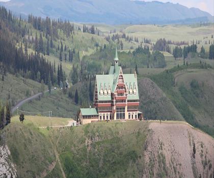
Mount Alderson
Southern Rockies
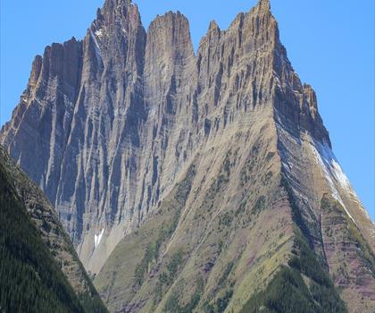
Sofa Mountain
Southern Rockies
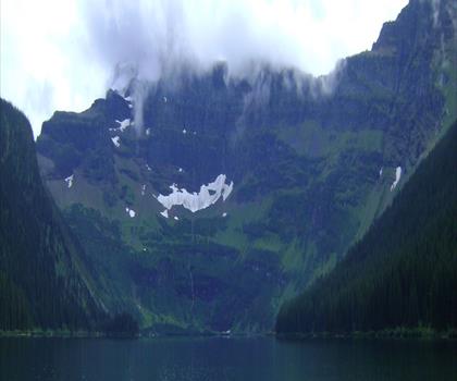
Cameron Lake
Southern Rockies

Crypt Lake Trail
Southern Rockies
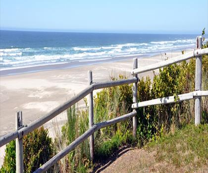
Driftwood Beach
Southern Rockies
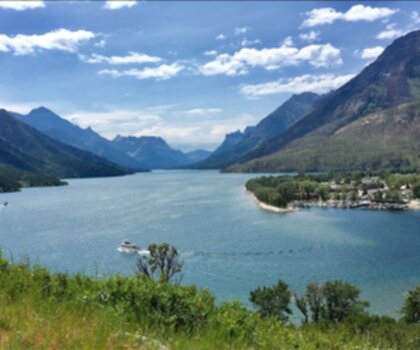
Waterton Lakes National Park of Canada
Southern Rockies
Hiking near Calgary
120 trails to explore ~214 km away
We work hard to provide the most up-to-date and error-free data possible. If something seems incorrect, let us know! Your contribution helps the whole community.
Hikers' opinions
Be the first to review!
No hiker has shared their experience yet. Share your impressions and help other hikers!