

Ready to explore Miller Lake? Here's everything you need to know before you go!
Discover the trail
Trail description
Miller Lake sits tucked into the Kootenay Rockies, and it earns its reputation as one of the region's more rewarding alpine destinations. The numbers tell part of the story: 7.6 kilometers, 1,200 meters of elevation gain, and a solid 4-hour commitment. But what those numbers don't capture is the quality of what you get at the top—a pristine mountain lake cradled in a natural rock basin, with the kind of stillness that makes the hard work feel completely worth it.
This is a genuinely challenging hike. If you're looking for a casual outing, Miller Lake isn't it. But if you're ready to put in the effort, the trail delivers a full alpine experience from start to finish.
The Climb
The trail begins in dense conifer forest, where the canopy keeps things cool and shaded during warmer months. The path is well-maintained and clearly defined throughout, so navigation isn't a concern—your energy goes toward the climb, not route-finding.
The elevation gain is consistent rather than punishing. You're not hitting brutal switchbacks all at once; instead, the trail works steadily upward, giving you time to settle into a rhythm. That said, 1,200 meters over 7.6 kilometers means there's no real flat section to recover on—your legs will know they've been working by the time you reach the lake.
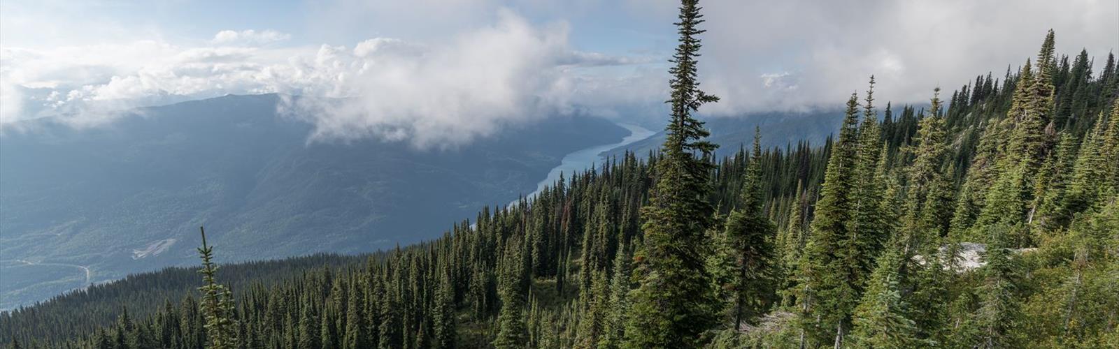
As you gain elevation, the forest gradually opens up. The trees thin out, the views start to open, and you begin to get a sense of the scale of the surrounding peaks. The final stretch to the lake involves the steepest climbing of the day, but the trail stays clear and well-marked all the way to the shoreline.
Watch your footing throughout—rocky sections and exposed roots are part of the deal, and they demand more attention on the descent than on the way up. Good ankle support in your footwear isn't optional here.
Wildlife and Scenery Along the Way
The varied terrain makes for an interesting hike beyond just the physical challenge. The lower forest section is good habitat for deer and a range of bird species. As you move into more open terrain higher up, the views of the Kootenay Rockies start to dominate. Keep your eyes up when the trail allows—the surrounding peaks provide a dramatic backdrop that gets better the higher you climb.
Miller Lake
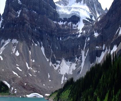
The lake sits in a natural amphitheater of rock and forest. On a calm day, the water mirrors the peaks above it with the kind of clarity that makes you stop and actually look rather than just glance. The shoreline offers multiple spots to drop your pack, eat lunch, and take in the setting without feeling crowded into one area.
If you fish, bring a rod. Miller Lake has a solid reputation for angling, and the remote setting means you're not competing with crowds for a spot on the water. The extra weight in your pack is worth considering, but for anglers, it's a straightforward call.
Photographers will find the lake delivers regardless of gear. The combination of reflective water, dramatic rock faces, and open sky gives you strong material to work with at almost any time of day.
What to Bring
A few things are non-negotiable for a hike of this difficulty and duration:
- Footwear: Proper hiking boots with ankle support and solid traction. The rocky sections and root systems on the descent make this especially important.
- Layers: Conditions between the trailhead and the lake can vary significantly. Pack for both warmth and wind at the top.
- Water and food: You'll need fuel for the climb and reserves for the descent. The lake is a natural lunch stop, but don't arrive there running on empty.
- Weather awareness: Mountain weather in the Kootenay Rockies can shift quickly. Check conditions before you head out and be prepared for changes.
Leave No Trace
Miller Lake's condition reflects the care that hikers have consistently shown it. Pack out everything you bring in, stay on the designated trail, and give wildlife the space it needs. The lake's clear water and unspoiled shoreline are worth protecting—future hikers are counting on the same standards you'd want to find when you arrive.
The Essential Hiking Checklist
Everything you need for your next hike. Bilingual, printable, 1 page.
Get your free hiking checklistRecommended gear for this trail
As an Amazon Associate I earn from qualifying purchases.


Ready to go?
Everything you need to know before you goStarting Point
To access the hiking trails, you can start at the main trailhead located at the parking lot on miller lake Road. If you're looking for alternative starting points, there are several trailheads available:
- Trailhead 1: Accessible via Highway 93/95, turn onto miller lake Road and follow it to the designated parking area.
- Trailhead 2: From the town center, head west on Main Street until you reach miller lake Road; continue to the parking lot.
Ensure your vehicle is parked in designated areas to avoid any restrictions or fines.
When?
How much?
As an Amazon Associate I earn from qualifying purchases.
Affiliate links — LGPO may earn a commission at no extra cost to you.
- Hiking shoes Essential
- → Salomon Elixir Tour Mid WP · 203.38 $
- Layered clothing Essential
- Rain jacket Essential
- Trekking poles
- → Black Diamond Trail Ergo Cork · 69.99 $
- Headlamp
- → Petzl Actik Core 625 · 103.95 $
FAQ - Frequently asked questions
Everything you need to knowSimilar hikes nearby
Discover other trails you might enjoy

Emerald Lake
Kootenay Rockies

Golden Skybridge
Kootenay Rockies
Mount Stephen
Kootenay Rockies
Bugaboo Provincial Park
Kootenay Rockies
Magog, Lake
Kootenay Rockies
Iceline Trail
Kootenay Rockies
Hiking near Kelowna
45 trails to explore ~164 km away
We work hard to provide the most up-to-date and error-free data possible. If something seems incorrect, let us know! Your contribution helps the whole community.
Hikers' opinions
Be the first to review!
No hiker has shared their experience yet. Share your impressions and help other hikers!