
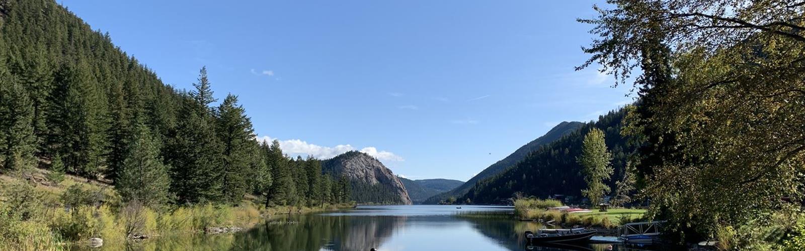

Ready to explore Harper Mtn.? Here's everything you need to know before you go!
Discover the trail
Trail description
Harper Mountain is located near Kamloops in the Thompson Okanagan region of British Columbia, not the Kootenay Rockies. It functions primarily as an access corridor for multi-sport use.
Trail Overview
The Harper Mountain Road Climb is a double-track access trail that serves hikers, trail runners, and mountain bikers who use it to reach downhill runs at the top of the mountain. The trail is groomed for cross-country skiing during winter months. Fees apply for trail access and use.
Elevation and Distance
The mountain features approximately 600m of elevation gain, with a maximum elevation of 4,336 ft. Total distance for mountain bike routes is approximately 11 miles with 2,400 ft of climbing.
Views and Access
The trail offers stellar views from the top and at several points along the ascent. This is primarily a shuttle and access trail for downhill pursuits rather than a traditional hiking destination.
Seasonal Considerations
The trail is groomed for cross-country skiing in winter. Check local conditions and avalanche forecasts (avalanche.ca) before heading out, particularly during winter months.
Location and Practical Information
- Location: Near Kamloops, Thompson Okanagan region, British Columbia (NOT Kootenay Rockies)
- Primary Use: Mountain biking access, downhill mountain biking, cross-country skiing, hiking
- Trail Type: Double-track access trail
- Fees: Yes, fees apply
- Winter Use: Groomed for cross-country skiing
- Safety: Check avalanche forecast at avalanche.ca before winter visits
The Essential Hiking Checklist
Everything you need for your next hike. Bilingual, printable, 1 page.
Get your free hiking checklistRecommended gear for this trail
As an Amazon Associate I earn from qualifying purchases.


Ready to go?
Everything you need to know before you goWhen?
How much?
As an Amazon Associate I earn from qualifying purchases.
Affiliate links — LGPO may earn a commission at no extra cost to you.
- Hiking shoes Essential
- → Salomon Elixir Tour Mid WP · 203.38 $
- Layered clothing Essential
- Rain jacket Essential
- Trekking poles
- → Black Diamond Trail Ergo Cork · 69.99 $
- Headlamp
- → Petzl Actik Core 625 · 103.95 $
FAQ - Frequently asked questions
Everything you need to knowSimilar hikes nearby
Discover other trails you might enjoy

Big White Ski Resort
Thompson Okanagan
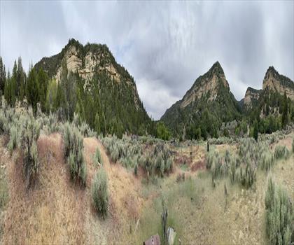
Cougar Canyon
Thompson Okanagan
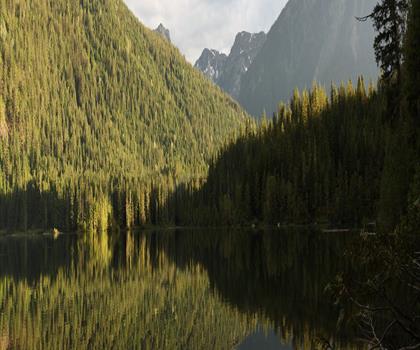
Spectrum Lake
Thompson Okanagan
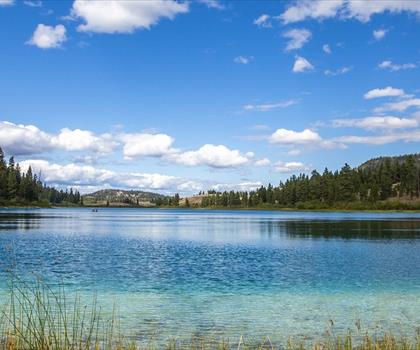
Kentucky Lake
Thompson Okanagan
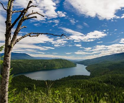
Clearwater Lake
Thompson Okanagan
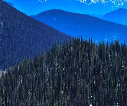
Mahood Lake
Thompson Okanagan
Hiking near Kelowna
45 trails to explore ~104 km away
We work hard to provide the most up-to-date and error-free data possible. If something seems incorrect, let us know! Your contribution helps the whole community.
Hikers' opinions
Be the first to review!
No hiker has shared their experience yet. Share your impressions and help other hikers!