
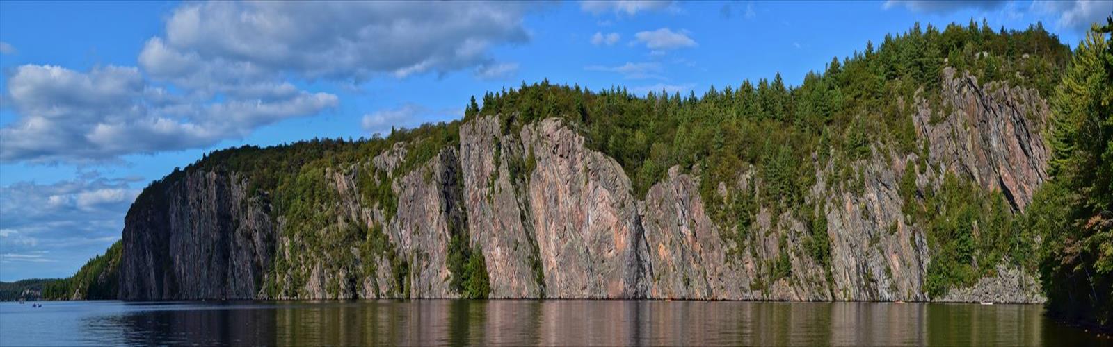

Ready to explore Canisbay Lake? Here's everything you need to know before you go!
Discover the trail
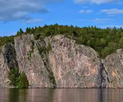
Trail description
Canisbay Lake sits in the heart of Algonquin Park, one of Ontario's most iconic wilderness destinations. Tucked within the broader region that spans the Almaguin Highlands, Muskoka, and Parry Sound districts, this lake draws hikers looking for a genuine Canadian Shield experience without committing to a full backcountry expedition. The combination of accessible trails, strong wildlife presence, and that unmistakable Algonquin atmosphere makes it a reliable choice for both first-timers and returning visitors.
The Trail
The loop trail around Canisbay Lake covers 4.5 kilometers with 300 meters of elevation gain, which puts it squarely in moderate territory. Most hikers complete it in around two and a half hours at a comfortable pace, though that estimate doesn't account for time spent watching a loon fish or waiting out a moose at the water's edge.
The trail starts near the eastern shore and moves through mature mixed forest right from the first steps. Sugar maple, yellow birch, and eastern white pine dominate the canopy, creating the kind of dense, layered woodland that defines Algonquin. The footing is generally good but demands attention — exposed granite outcrops, rocky sections, and small seasonal stream crossings show up regularly enough that trail runners or casual sneakers aren't the right call here.
The first half of the loop follows gentler terrain, with the path winding through hardwood stands where the canopy closes overhead and filters the light into something almost green. It's quiet in here, in the best possible way. Around the midpoint, the trail climbs more noticeably through a series of low ridges — this is where the 300 meters of elevation gain makes itself felt. The views through the trees open up toward the lake, and the exposed bedrock becomes more prominent, worn smooth and rounded in the way that's characteristic of Shield country.
The western section of the loop brings the trail closest to the shoreline. Rocky points and small clearings break up the forest edge, offering natural spots to stop, sit, and take in the lake. The forest composition shifts here toward more conifers, and the air picks up that resinous pine smell that tends to stick with you long after the hike is done.
Track and Tower Trail
Hikers who want more mileage or a bigger payoff can combine the lake loop with the Track and Tower Trail, which leads to a fire lookout tower with panoramic views across Algonquin's forest canopy. The route follows an old logging road for part of its length before the terrain gets more demanding — steeper climbs, rockier footing, and occasional scrambles over fallen timber. The tower itself is climbable, and the views from the top extend across what feels like an endless stretch of forest in every direction. It's a worthwhile add-on for anyone with the legs and the time.
Wildlife
Algonquin Park's wildlife reputation is well-earned, and Canisbay Lake delivers on it. Moose are a genuine possibility, particularly in the shallow bays and marshy areas during early morning and evening hours. They'll wade into the water to feed on aquatic vegetation, and if you catch one doing that, it's worth slowing down and keeping your distance — both for your safety and theirs.
Loons nest along the shoreline through the summer months. Their calls carry across the water at dawn and dusk in a way that's hard to describe to someone who hasn't heard it in person. You'll likely spot them fishing in the deeper sections of the lake, their black and white plumage easy to pick out even from a distance.
Through the forested sections, red squirrels are a constant presence in the pine canopy, and chipmunks work the understory at trail level. Pileated woodpeckers show up on the larger dead trees if you're paying attention, and the area supports a solid variety of songbirds and raptors throughout the warmer months.
Camping at Canisbay Lake
The campground at Canisbay Lake accommodates both tent campers and RV users, making it a practical base for multi-day exploration of the surrounding area. Sites are spaced to give reasonable privacy, and many have direct lake access for swimming or fishing. The setup works well for families or groups who want to use the lake as a hub and day-hike into different parts of the park from there.
Evenings here are worth staying for. Once the day hikers clear out, the lake tends to go still, and on clear nights the sky above Algonquin — a designated Dark Sky Preserve — is genuinely impressive. The nocturnal soundtrack of the forest, loons calling across the water, is the kind of thing that makes people book a second night.
What to Know Before You Go
Proper hiking footwear is non-negotiable given the rocky terrain and wet sections that appear throughout the loop. Carry enough water for the full hike — the trail doesn't offer reliable natural sources, and the combination of physical effort and Algonquin's warm, humid summers means you'll go through more than you expect. If you're planning to add the Track and Tower Trail, budget extra time and energy accordingly.
A camera is worth the extra weight. Between the wildlife opportunities along the shoreline and the views from the ridge sections and the tower, there's no shortage of reasons to have one ready.
The Essential Hiking Checklist
Everything you need for your next hike. Bilingual, printable, 1 page.
Get your free hiking checklistRecommended gear for this trail
As an Amazon Associate I earn from qualifying purchases.


Ready to go?
Everything you need to know before you goStarting Point
The start of the trails at the canisbay lake in Ontario can be accessed by travelling north on Highway 11 from Toronto. Take the exit for Highway 35 and continue north for approximately 45 minutes until you reach the town of Minden. From there, take Highway 35 east for 10 minutes until you reach the canisbay lake Recreation Area.
When?
How much?
As an Amazon Associate I earn from qualifying purchases.
Affiliate links — LGPO may earn a commission at no extra cost to you.
- Hiking shoes Essential
- → Salomon Elixir Tour Mid WP · 203.38 $
- Layered clothing Essential
- Rain jacket Essential
- Trekking poles
- → Black Diamond Trail Ergo Cork · 69.99 $
- Headlamp
- → Petzl Actik Core 625 · 103.95 $
FAQ - Frequently asked questions
Everything you need to knowSimilar hikes nearby
Discover other trails you might enjoy
Opeongo Lake
Algonquin Park, Almaguin Highlands, Muskoka and Parry Sound
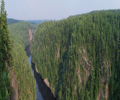
Barron Canyon
Algonquin Park, Almaguin Highlands, Muskoka and Parry Sound
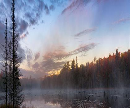
Doe Lake
Algonquin Park, Almaguin Highlands, Muskoka and Parry Sound
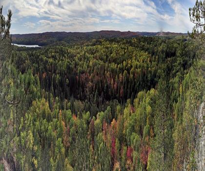
Centennial Ridges Trail
Algonquin Park, Almaguin Highlands, Muskoka and Parry Sound
Hardy Lake
Algonquin Park, Almaguin Highlands, Muskoka and Parry Sound
Whitestone Lake
Algonquin Park, Almaguin Highlands, Muskoka and Parry Sound
Hiking near Barrie
146 trails to explore ~158 km away
We work hard to provide the most up-to-date and error-free data possible. If something seems incorrect, let us know! Your contribution helps the whole community.
Hikers' opinions
Be the first to review!
No hiker has shared their experience yet. Share your impressions and help other hikers!