
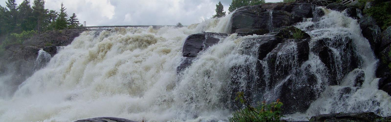

Ready to explore Wilsons Falls? Here's everything you need to know before you go!
Discover the trail
Trail description
Wilsons Falls is a waterfall destination along the Muskoka River in Ontario's cottage country, sitting within the broader region that takes in Algonquin Park, the Almaguin Highlands, and Parry Sound. It's the kind of place that earns repeat visits — close enough to be a quick outing, rewarding enough to feel like a proper escape into the Canadian Shield.
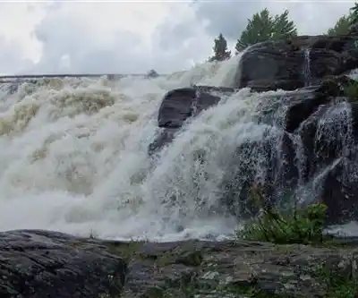
The falls announce themselves before you see them. The sound of water moving over rock carries through the trees, and the air picks up that particular mix of pine, cedar, and river moisture that signals you're somewhere worth being. When the falls finally come into view, the cascade over rocky ledges delivers exactly what you came for — rushing water framed by mixed forest, no crowds, no fuss.
The Trail
The trail to Wilsons Falls is well-marked and maintained, which makes it a solid choice for families with younger kids or anyone who wants to spend their energy enjoying the destination rather than navigating to it. The elevation gain is modest at around 20 metres, so there's enough terrain to feel like a real hike without anything that would turn back a casual visitor.
Underfoot, you get the full Canadian Shield experience: sections of exposed granite, roots crossing the path, and packed earth that transitions to rockier ground as you close in on the falls. The terrain rolls gently rather than climbing steeply, with the kind of undulations that keep things interesting without demanding much from your legs. Near the waterfall viewpoints, the rock can be slippery when wet, so watch your footing — especially if you're moving between vantage points to find a better angle.
The forest along the route is predominantly pine, with birch and maple filling in the gaps. That mix means the trail looks completely different depending on when you show up — deep green in summer, a riot of colour in fall, stark and quiet under snow in winter.
The Falls and Viewpoints
Multiple stopping points along the trail give you different perspectives on the cascade. Some offer wide views that take in the full drop and the river below; others put you close enough to feel the spray and hear the full force of the water. The interplay between light filtering through the canopy and the moving water shifts throughout the day, which is worth keeping in mind if photography is part of your plan. Early morning and late afternoon tend to produce the most interesting light conditions.
Spring is when the falls are at their most powerful. Snowmelt from the Muskoka River system pushes water volume up significantly through April and May, and the cascade earns its reputation during those months. Summer flow is reliable through most of the season. In winter, extended cold periods build up ice formations around the falls that are genuinely striking — the water rarely freezes completely, so you get the contrast of moving water against ice-covered rock.
Wildlife and Plants
The ecosystem here reflects the transition between southern Ontario's deciduous forest and the boreal forest further north. Deer are common, particularly at dawn and dusk. Beavers are active along the river system, and their work is visible near the falls — look for dams and chewed stumps along the water's edge. Pileated woodpeckers show up often enough that it's worth pausing and listening for their distinctive call in the forest.
Birdwatchers will find the combination of flowing water and dense mixed forest productive. Chickadees and nuthatches are reliable year-round; hawks pass through during migration. The habitat suits species that need both aquatic and woodland environments, so the list of potential sightings is broader than you might expect for a short trail.
On the plant side, spring brings trilliums, wild leeks, and bloodroot to the forest floor. Summer fills in with fireweed and goldenrod. The understory throughout the season includes blueberry bushes, ferns, and mosses that thrive in the humidity near the water. Fall colour peaks in late September to early October, when the maples go red and the birches turn yellow against the persistent green of the conifers — the contrast with the white foam of the falls makes for some of the best photography of the year.
Practical Notes
Trail conditions are generally reliable through the hiking season, though expect muddy sections after rain and slippery rock near the viewpoints whenever the water is high or the weather has been wet. Winter visits are doable with proper footwear — microspikes are worth bringing once temperatures drop — but daylight is short and the trail requires more attention than in other seasons.
Wilsons Falls works well as a standalone outing or as part of a longer day exploring the Muskoka region. Its position within the Algonquin Park, Almaguin Highlands, and Parry Sound corridor makes it a natural fit alongside other stops in Ontario's cottage country.
The Essential Hiking Checklist
Everything you need for your next hike. Bilingual, printable, 1 page.
Get your free hiking checklistRecommended gear for this trail
As an Amazon Associate I earn from qualifying purchases.


Ready to go?
Everything you need to know before you goStarting Point
The wilsons falls are located in the town of wilsons falls, Ontario. To get to the start of the trails, take Highway 7 east from Toronto to the town of wilsons falls. Turn left onto King Street and drive to the end of the street. The trailhead is located at the end of King Street.
When?
How much?
As an Amazon Associate I earn from qualifying purchases.
Affiliate links — LGPO may earn a commission at no extra cost to you.
- Hiking shoes Essential
- → Salomon Elixir Tour Mid WP · 203.38 $
- Layered clothing Essential
- Rain jacket Essential
- Trekking poles
- → Black Diamond Trail Ergo Cork · 69.99 $
- Headlamp
- → Petzl Actik Core 625 · 103.95 $
FAQ - Frequently asked questions
Everything you need to knowSimilar hikes nearby
Discover other trails you might enjoy

Opeongo Lake
Algonquin Park, Almaguin Highlands, Muskoka and Parry Sound
Barron Canyon
Algonquin Park, Almaguin Highlands, Muskoka and Parry Sound
Doe Lake
Algonquin Park, Almaguin Highlands, Muskoka and Parry Sound
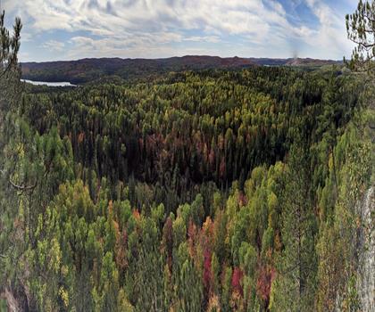
Centennial Ridges Trail
Algonquin Park, Almaguin Highlands, Muskoka and Parry Sound
Hardy Lake
Algonquin Park, Almaguin Highlands, Muskoka and Parry Sound
Whitestone Lake
Algonquin Park, Almaguin Highlands, Muskoka and Parry Sound
Hiking near Barrie
146 trails to explore ~80 km away
We work hard to provide the most up-to-date and error-free data possible. If something seems incorrect, let us know! Your contribution helps the whole community.
Hikers' opinions
Be the first to review!
No hiker has shared their experience yet. Share your impressions and help other hikers!