
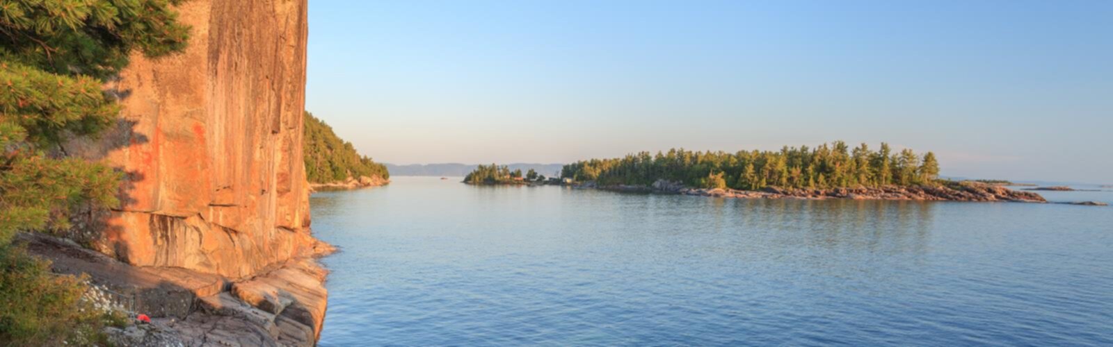
Ready to explore Lake Superior Provincial Park? Here's everything you need to know before you go!
Discover the trail
Oh no! We don't have any photos 😢
This trail hasn't been captured yet. Be the first to share your adventure!Trail description
Lake Superior Provincial Park in Northeastern Ontario offers hikers a remarkable combination of accessible day hikes and challenging backcountry adventures along the world's largest freshwater lake. The park features eleven distinct trails showcasing varied landscapes including rocky shores, beaches, lakes, rivers, waterfalls, forests, wetlands and rolling hills.
The Coastal Hiking Trail Experience
The park's crown jewel is the 65-kilometer Coastal Hiking Trail, a serious undertaking that typically requires 5 to 7 days to complete. This trail is not recommended for beginners due to demanding conditions along much of the route. The path follows Lake Superior's rugged coastline, offering hikers an intimate encounter with towering cliffs, dense forest, and the lake's ever-changing moods.
Hikers on this trail will discover pristine wilderness where bald eagles soar above the Sand and Agawa Rivers. The rocky shoreline provides opportunities for swimming and water activities, though the lake's temperature remains cold even in summer. The trail offers excellent opportunities for remote camping under star-filled skies.
Trail Access and Route Options
The park offers multiple access points and route variations depending on your time commitment and hiking goals. Hikers can choose from various inland routes that showcase dramatic gorges and provide spectacular photographic opportunities across the Canadian Shield landscape.
The shoreline route follows Lake Superior's rocky edge, offering continuous views of the lake's brilliant blue waters and ever-changing weather patterns. This route provides panoramic vistas as the landscape transitions between rugged terrain and forest ecosystems.
A highlight of any visit is the ancient pictographs at Agawa Rock, where Indigenous artists created enduring images on the cliff face centuries ago. This cultural treasure represents thousands of years of Indigenous heritage in the region.
Wildlife and Natural Features
Lake Superior Provincial Park protects diverse ecosystems where pristine lakes, stunning waterfalls, and boreal forests create habitat for numerous species. Bald eagles are frequently spotted along the Sand and Agawa Rivers. The landscape showcases classic Canadian Shield geology, with ancient rock formations and waterfalls cascading down granite cliffs. The contrast between Lake Superior's deep blue waters and the dark green boreal forest creates some of Ontario's most photographed scenery.
Activities and Facilities
Beyond hiking, the park supports camping, fishing, and canoeing activities. The park offers designated camping areas and day-use facilities. Professional trail markers and signage guide hikers throughout the park, with detailed maps and current trail conditions available from visitor centers and Ontario Parks.
The park's location along Lake Superior's northeastern shore between Sault Ste. Marie and Wawa places it within easy reach of other regional attractions while maintaining its wilderness character. The combination of accessible day hikes and challenging multi-day adventures makes Lake Superior Provincial Park a destination that rewards both casual visitors and serious outdoor enthusiasts.
Everything you need for your next hike. Bilingual, printable, 1 page.
Get your free hiking checklistRecommended gear for this trail
As an Amazon Associate I earn from qualifying purchases.


Ready to go?
Everything you need to know before you goStarting Point
The start of the trails at the lake superior provincial park in Ontario can be accessed by travelling north on Highway 17 from Sault Ste. Marie.
When?
How much?
As an Amazon Associate I earn from qualifying purchases.
Affiliate links — LGPO may earn a commission at no extra cost to you.
- Hiking shoes Essential
- → Salomon Elixir Tour Mid WP · 203.38 $
- Layered clothing Essential
- Rain jacket Essential
- Trekking poles
- → Black Diamond Trail Ergo Cork · 69.99 $
- Headlamp
- → Petzl Actik Core 625 · 103.95 $
FAQ - Frequently asked questions
Everything you need to knowOutings near Lake Superior Provincial Park
Discover other trails you might enjoy
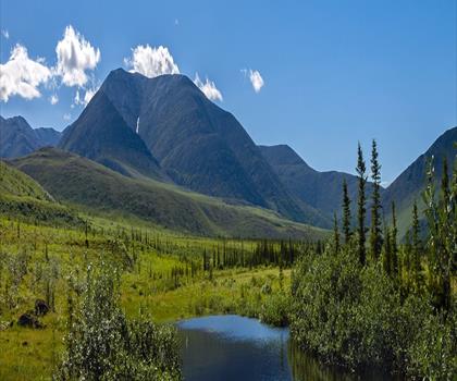
Blackspruce Lake
Sault Ste. Marie - Algoma · 37.5 km away
Agawa Canyon Park
Sault Ste. Marie - Algoma · 41.3 km away

Griffin Lake
Sault Ste. Marie - Algoma · 77.3 km away
Spider Lakes
Sault Ste. Marie - Algoma · 77.5 km away

Batchawana Mountain, Ontario
Sault Ste. Marie - Algoma · 79.2 km away
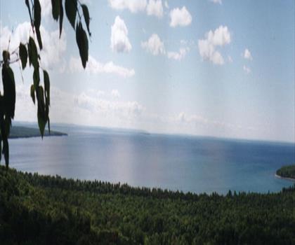
Pancake Bay Provincial Park
Sault Ste. Marie - Algoma · 84.3 km away
Hiking near Barrie
145 trails to explore ~542 km away
We work hard to provide the most up-to-date and error-free data possible. If something seems incorrect, let us know! Your contribution helps the whole community.
Hikers' opinions
Be the first to review!
No hiker has shared their experience yet. Share your impressions and help other hikers!