
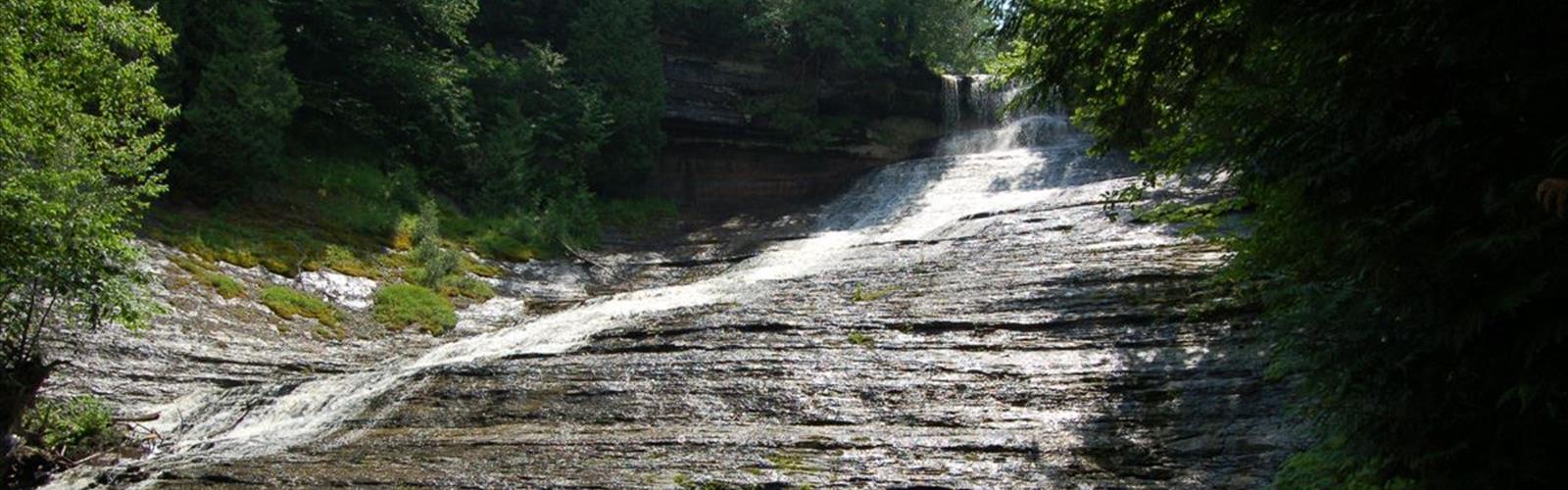

Ready to explore Laughing Lake? Here's everything you need to know before you go!
Discover the trail
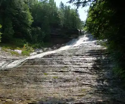
Trail description
Laughing Lake is a peaceful hiking destination tucked into Northeastern Ontario, offering the kind of quiet, nature-forward experience that's getting harder to find. Whether you're looking to spend a few hours away from the noise or simply want to explore a lesser-known corner of the region, this spot delivers a genuine connection with the boreal landscape that defines this part of the province.
The Setting
The area around Laughing Lake is classic Northeastern Ontario terrain — a mix of Canadian Shield rock, mixed forest, and the still, reflective waters that give the lake its name. The landscape here has that raw, unhurried quality you get when you're away from the more trafficked trail systems. Expect exposed granite outcrops, patches of moss-covered ground, and the kind of tree canopy that shifts between birch, poplar, and conifer depending on where you're standing.
The lake itself is the natural focal point of the experience. Its calm surface tends to mirror the sky and surrounding treeline, especially in the early morning or late afternoon when the light sits low. It's the kind of place where you stop walking and just look for a minute.
The Trail Experience
The trail at Laughing Lake suits hikers who want to move at their own pace without the pressure of a demanding route. The terrain is characteristic of the Canadian Shield — meaning you'll encounter some uneven ground, exposed roots, and occasional rocky sections — but nothing that requires technical skill or specialized gear. Sturdy footwear is always a good call out here, particularly if the ground is wet.
The route keeps you close to the water for much of the way, which means you're rarely far from a view or a good spot to sit and take a break. The forest provides consistent shade, and the overall atmosphere is quiet — this isn't a trail that sees heavy foot traffic, which is a big part of its appeal.
Wildlife and Nature
Northeastern Ontario's boreal and mixed forest ecosystems support a wide range of wildlife, and Laughing Lake is no exception. The lake and its surrounding wetland edges are particularly good habitat for birds — expect to hear loons, various waterfowl, and the usual cast of forest songbirds depending on the season. The shoreline vegetation and calm water also attract amphibians and the occasional mammal coming down to drink.
If you're into nature observation, moving slowly and quietly along the trail will serve you well here. The lack of crowds means wildlife encounters are more likely than at busier destinations in the region.
Practical Information
Before heading out, here are a few things worth knowing:
- Footwear: Trail runners or hiking boots are recommended. The Canadian Shield terrain can be slippery when wet, and root-covered sections require some attention underfoot.
- Water: Bring your own. There are no guaranteed potable water sources on site.
- Navigation: Cell service in Northeastern Ontario can be unreliable in remote areas. Download an offline map or bring a paper one if you're unfamiliar with the area.
- Leave No Trace: Pack out everything you bring in. This is a quieter, less-managed destination, and keeping it that way depends on visitors doing their part.
- Bugs: Northeastern Ontario is notorious for blackflies in late spring and mosquitoes through summer. Bug spray and a head net can make a real difference in comfort.
What Makes Laughing Lake Worth the Visit
In a region full of lakes and trails, Laughing Lake stands out for its low-key character. It's not a destination that's been heavily developed or promoted, which means you're more likely to have the place largely to yourself. For hikers who value solitude and a genuine sense of being out in the bush, that's a significant draw.
The combination of lakeside access, Canadian Shield scenery, and quiet forest trail makes it a well-rounded outing — the kind of place that doesn't need to oversell itself because the landscape does the work.
Getting There
Laughing Lake is located in Northeastern Ontario. As with many destinations in this part of the province, a personal vehicle is the most practical way to reach the trailhead. Road conditions and access points can vary, so it's worth checking local conditions before you go, especially during shoulder seasons when freeze-thaw cycles can affect unpaved roads.
Arriving with a full tank of gas and a sense of flexibility is always smart when exploring Northeastern Ontario — services can be spread out, and the distances between communities are real.
The Essential Hiking Checklist
Everything you need for your next hike. Bilingual, printable, 1 page.
Get your free hiking checklistRecommended gear for this trail
As an Amazon Associate I earn from qualifying purchases.


Ready to go?
Everything you need to know before you goStarting Point
The laughing lake is located in the Algonquin Provincial Park. To get there, take Highway 60 to the park entrance and then follow the signs to the laughing lake.
When?
How much?
As an Amazon Associate I earn from qualifying purchases.
Affiliate links — LGPO may earn a commission at no extra cost to you.
- Hiking shoes Essential
- → Salomon Elixir Tour Mid WP · 203.38 $
- Layered clothing Essential
- Rain jacket Essential
- Trekking poles
- → Black Diamond Trail Ergo Cork · 69.99 $
- Headlamp
- → Petzl Actik Core 625 · 103.95 $
FAQ - Frequently asked questions
Everything you need to knowSimilar hikes nearby
Discover other trails you might enjoy
Lake Superior Provincial Park
Sault Ste. Marie - Algoma
Aubrey Falls
Sault Ste. Marie - Algoma
Chippewa Falls
Sault Ste. Marie - Algoma
Pancake Bay Provincial Park
Sault Ste. Marie - Algoma
Searchmont Resort
Sault Ste. Marie - Algoma
Blackspruce Lake
Sault Ste. Marie - Algoma
Hiking near Barrie
146 trails to explore ~422 km away
We work hard to provide the most up-to-date and error-free data possible. If something seems incorrect, let us know! Your contribution helps the whole community.
Hikers' opinions
Be the first to review!
No hiker has shared their experience yet. Share your impressions and help other hikers!