
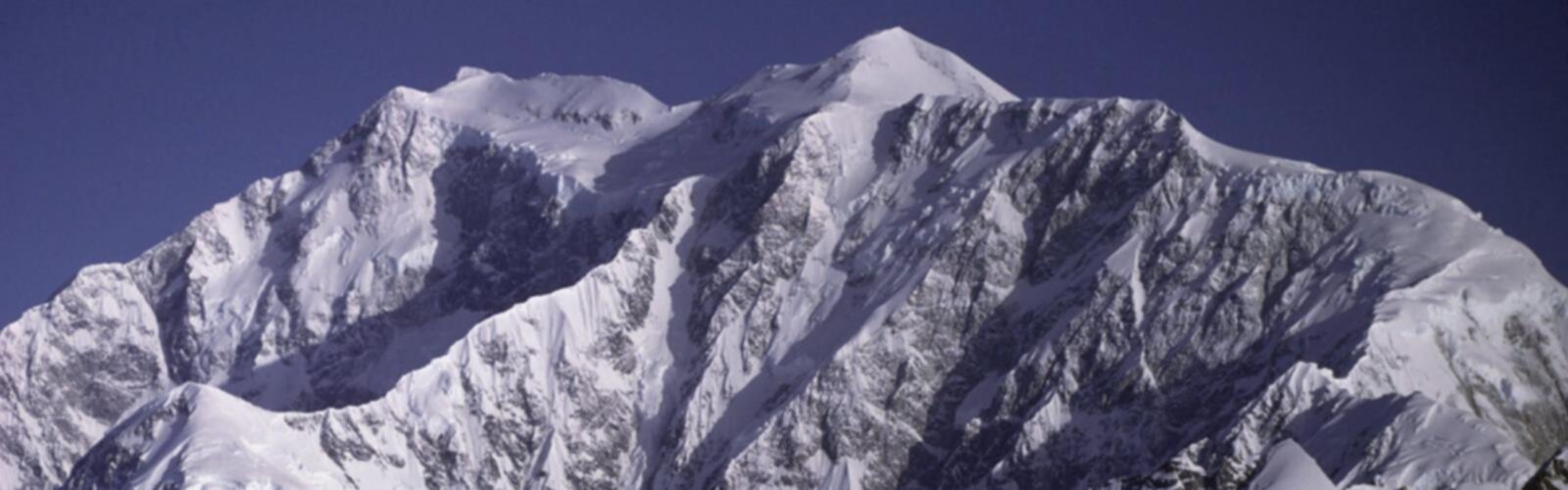
Ready to explore Mont Logan? Here's everything you need to know before you go!
Discover the trail
Oh no! We don't have any photos 😢
This trail hasn't been captured yet. Be the first to share your adventure!Trail description
The Mountain and Its Setting
Mont Logan sits within the Chic-Choc Mountains, a rugged spine of peaks in the Gaspésie region of Quebec. The Chic-Chocs are characterized by alpine tundra, exposed ridgelines, and boreal forest at lower elevations. The mountain itself, standing at approximately 1,135-1,150 metres, represents one of the highest peaks in the western section of the range, positioned due west of Richardson and southwest of Mont Jacques Cartier. As you gain altitude, the forest transitions from dense boreal spruce and fir to krummholz and finally open alpine tundra with wide sightlines across the mountain terrain.
The route traverses some of the most dramatic terrain in the Chic-Chocs, crossing the spine of the range at elevations above 1,000 metres. This is not a manicured trail. The terrain is raw and demanding — rocky sections, rooted trail, and exposed ridgeline are integral to the experience. Gaspésie weather can shift quickly, especially once you're above treeline.
Everything you need for your next hike. Bilingual, printable, 1 page.
Get your free hiking checklistRecommended gear for this trail
As an Amazon Associate I earn from qualifying purchases.


Ready to go?
Everything you need to know before you goWhen?
As an Amazon Associate I earn from qualifying purchases.
Affiliate links — LGPO may earn a commission at no extra cost to you.
- Hiking shoes Essential
- → Salomon Elixir Tour Mid WP · 203.38 $
- Layered clothing Essential
- Rain jacket Essential
- Trekking poles
- → Black Diamond Trail Ergo Cork · 69.99 $
- Headlamp
- → Petzl Actik Core 625 · 103.95 $
FAQ - Frequently asked questions
Everything you need to knowOutings near Mont Logan
Discover other trails you might enjoy

Mont des Loupes
Gaspésie · 5.8 km away
Mont Jacques Ferron
Gaspésie · 8.9 km away

Réserve faunique de Matane
Gaspésie · 25.7 km away

Mont Albert
Gaspésie · 31.9 km away

Parc national de la Gaspésie
Gaspésie · 38.3 km away
La Sallie
Gaspésie · 38.3 km away
Hiking near Fredericton
11 trails to explore ~325 km away
We work hard to provide the most up-to-date and error-free data possible. If something seems incorrect, let us know! Your contribution helps the whole community.
Hikers' opinions
Be the first to review!
No hiker has shared their experience yet. Share your impressions and help other hikers!