

Ready to explore Saskatchewan Landing Provincial Park? Here's everything you need to know before you go!
Discover the trail
Trail description
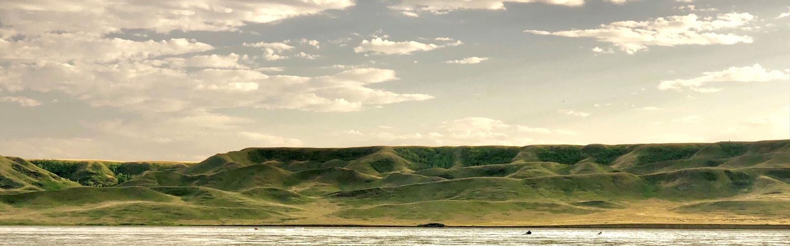
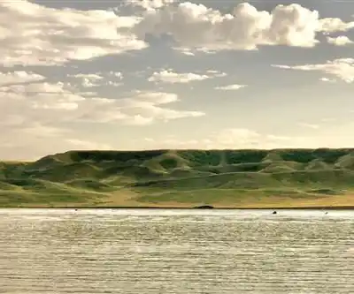
Saskatchewan Landing Provincial Park sits along the shores of Lake Diefenbaker in south-central Saskatchewan, roughly 40 kilometers northeast of Swift Current. It's one of those parks that surprises people who expect nothing but flat prairie — the landscape here is shaped by ancient glacial activity that left behind a complex mix of ridges, ravines, and coulees that drop dramatically toward the water. That contrast between the open grasslands above and the sheltered terrain below is what makes hiking here genuinely interesting.
The Terrain
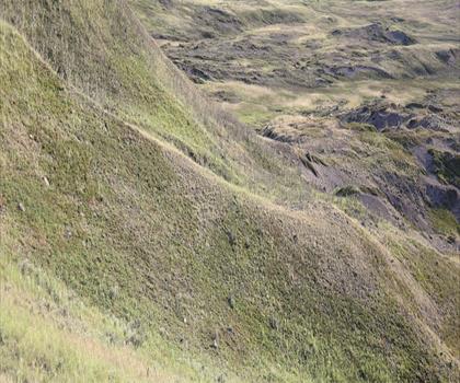
The park's topography is the main draw for hikers. Retreating glaciers carved out a rugged system of coulees and ridgelines that cuts through what would otherwise be typical southern Saskatchewan prairie. The result is a landscape with real vertical relief, shifting vegetation zones, and constantly changing views. From the higher ridges, you get sweeping sightlines across Lake Diefenbaker and the surrounding grasslands. Down in the ravines, the sheltered conditions support different plant communities than what you'd find on the exposed slopes above.
Lake Diefenbaker itself adds another dimension to the experience. This large reservoir borders the park and shapes the microclimate along the lower trails, moderating temperatures and supporting wildlife that wouldn't otherwise be found this far into the prairie interior.
Trail Overview
The main hiking route covers 8.3 kilometers with 150 meters of elevation gain, rated Easy with an estimated time of 2 hours 30 minutes. That elevation number is modest, but the terrain earns its keep — the trail moves through enough varied ground that you won't feel like you're just walking a flat loop. Expect packed earth, some rocky sections on the ridge portions, and grassy stretches through the prairie areas. Sturdy footwear is worth it, especially if there's been recent rain.
The trail system also includes gentler lakeshore paths that follow the sandy beaches with minimal elevation change. These work well for families or anyone who wants a more relaxed outing with consistent water views. Between the lakeshore routes and the ridge trail, there are moderate options through the native grassland interior that offer a quieter, more immersive prairie experience.
Wildlife and Natural Features
The combination of water, open grassland, sheltered coulees, and wooded ravines creates a range of habitats that supports a solid variety of wildlife. White-tailed deer are a regular sight, particularly in the early morning and evening when they move between the grasslands and the lake. The park is also a strong destination for birdwatching — the lake draws waterfowl, the open prairie hosts raptors and ground-nesting species, and the ravines provide cover for songbirds. If you're building a prairie species list, this park delivers.
The native prairie vegetation shifts noticeably through the seasons. Spring brings early wildflowers and fresh growth across the grasslands. By summer, the full range of prairie grasses and blooming plants is on display. Fall turns the grasses golden and adds color to the wooded sections of the coulees, which makes the ridge trail particularly photogenic in September and October.
Lake Diefenbaker Access
The lake isn't just scenery — it's a functional part of a day at the park. Sandy beaches make for easy swimming access during summer, and the water warms up enough by mid-summer to be genuinely comfortable after a few hours on the trails. Fishing is possible from the shoreline at several points accessible from the hiking paths, and the park has boat launch facilities for those who want to get out on the water. The lake is large enough that you can usually find a quiet stretch of shoreline even on a busy weekend.
Camping and Staying Longer
The park's campground makes it easy to turn a day hike into a multi-day trip. Facilities include washrooms, showers, and electrical hookups for RVs, so comfort isn't a concern after a long day on the trails. Staying overnight also means you can hit the trails during the early morning hours when wildlife activity is highest and the light on the lake is at its best.
The night sky out here is worth staying for on its own. Light pollution is minimal in this part of Saskatchewan, and on clear nights — especially around the new moon — the Milky Way is clearly visible. It's a different kind of reward than the ridge views, but it rounds out the experience well.
Getting There
Saskatchewan Landing Provincial Park is straightforward to reach from Swift Current, about 40 kilometers to the southwest. The location near major transportation routes also puts it within reasonable driving distance from Regina and Saskatoon, making it a viable destination for a weekend trip from either city. The park's mix of easy lakeshore trails and more engaging ridge terrain means it works for a wide range of hikers, from families with young kids to those looking for a solid half-day outing with real scenery.
The Essential Hiking Checklist
Everything you need for your next hike. Bilingual, printable, 1 page.
Get your free hiking checklistRecommended gear for this trail
As an Amazon Associate I earn from qualifying purchases.


Ready to go?
Everything you need to know before you goStarting Point
The saskatchewan landing provincial park is located in the province of Saskatchewan, Canada. To get to the start of the trails, take Highway 2 west from Saskatoon and turn north onto Highway 219. The park is located about 30 km north of Saskatoon.
When?
How much?
As an Amazon Associate I earn from qualifying purchases.
Affiliate links — LGPO may earn a commission at no extra cost to you.
- Hiking shoes Essential
- → Salomon Elixir Tour Mid WP · 203.38 $
- Layered clothing Essential
- Rain jacket Essential
- Trekking poles
- → Black Diamond Trail Ergo Cork · 69.99 $
- Headlamp
- → Petzl Actik Core 625 · 103.95 $
FAQ - Frequently asked questions
Everything you need to knowSimilar hikes nearby
Discover other trails you might enjoy

Hiking near Saskatoon
4 trails to explore ~188 km away
We work hard to provide the most up-to-date and error-free data possible. If something seems incorrect, let us know! Your contribution helps the whole community.
Hikers' opinions
Be the first to review!
No hiker has shared their experience yet. Share your impressions and help other hikers!