Canol Road
- Dogs: to be confirmed
or pick your starting city — the number is how many trails we list.
Yukon · Teslin
One outing. Just the right one.
One hiking trail in Teslin, with its duration, level and access.
By François Dumaine · updated October 14, 2026
See the trails in Teslin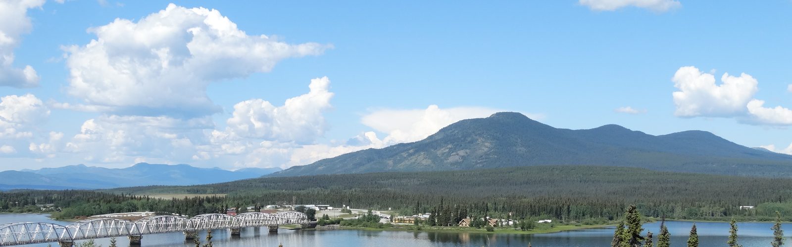
1 trail
No trail matches these filters.
Coordinates: LGPO database · map © OpenStreetMap contributors
Trails can close or change with the season: thaw, snow, maintenance. Each trail page links to the site manager, who publishes closures.
Our practical tipsThe dog rules are not yet confirmed on our trail pages for this region.
Our practical tipsCounts based on our 1 trail in Teslin; details and sources are on each trail page.
We list 1.
Each trail page links to the site manager's website (park, municipality, reserve), which publishes closures and rules. During the thaw and after heavy rain, some trails may be closed.
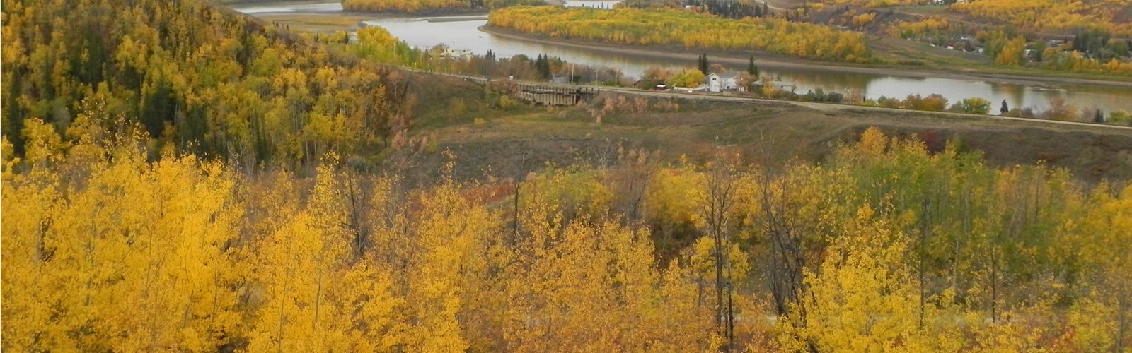
Teslin is a village in southern Yukon, on the Alaska Highway, on the shore of Teslin Lake. The Teslin Tlingit Heritage Centre there is devoted to Tlingit art and culture.
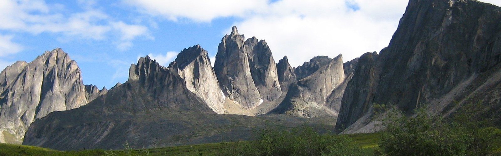
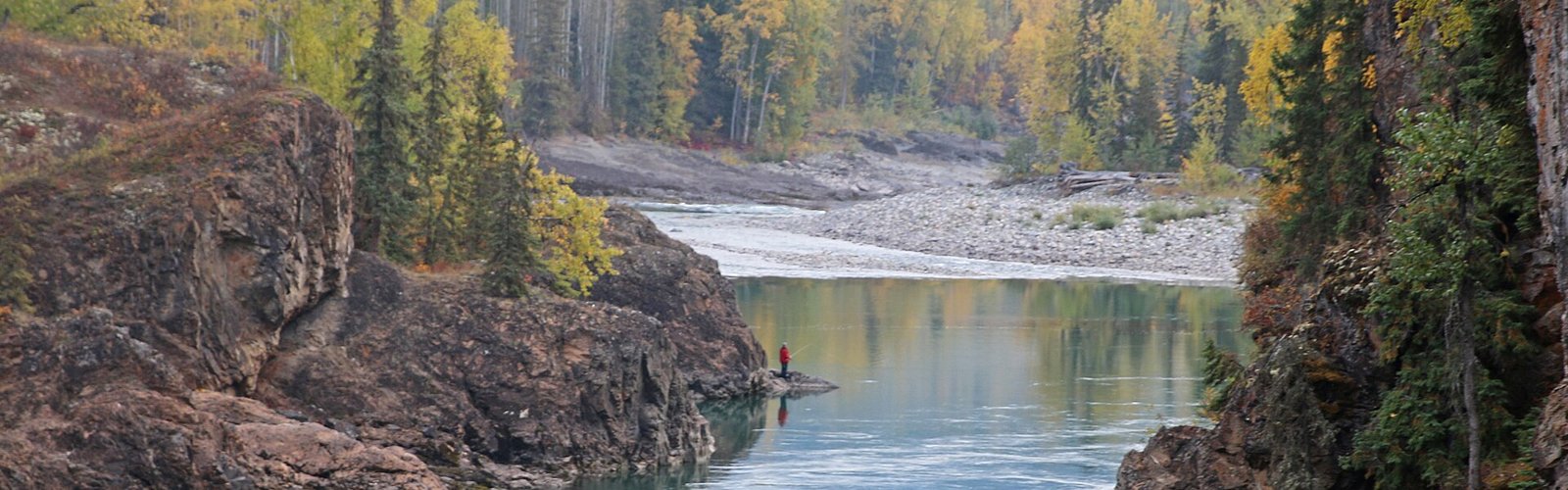
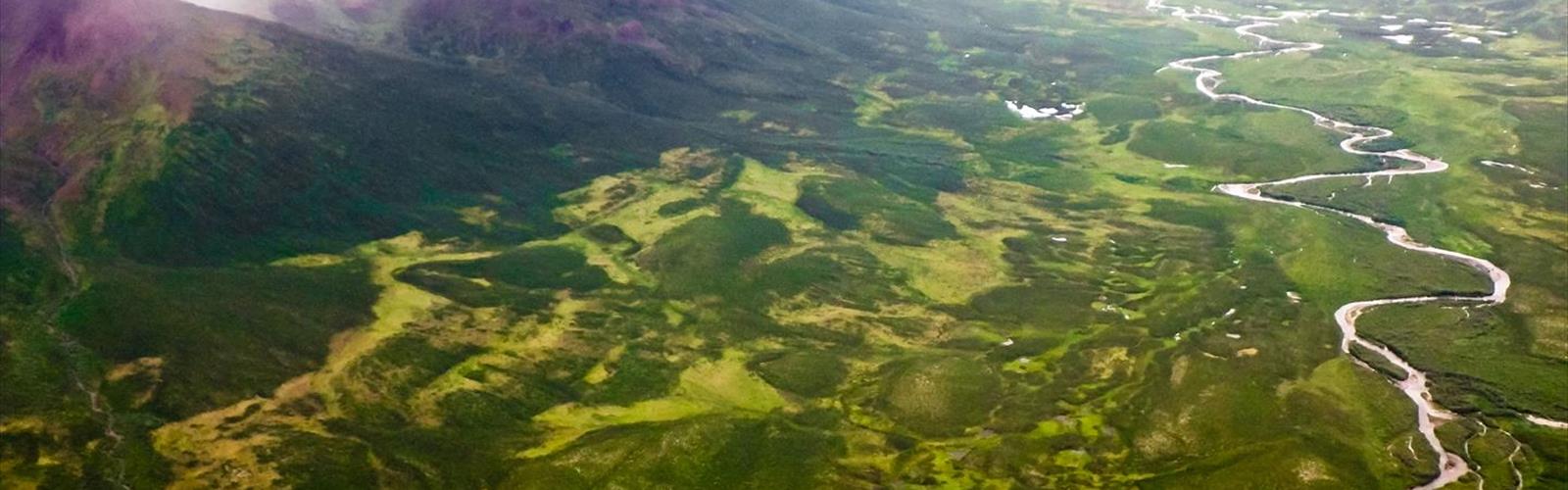
The Canol Road leaves the Alaska Highway at Johnson's Crossing, near the Teslin River bridge. It was built during the Second World War for a pipeline project between Norman Wells, in the Northwest Territories, and Whitehorse; the pipeline is gone, the road remains. The southern section, from Johnson's Crossing to Ross River, is a narrow, winding gravel road with no services, closed in winter. It is not a hiking trail in the usual sense: you drive it, stopping to walk.
There are no services on the road: fill up, carry water and food, and tell someone your route. Avoid it in wet weather.
Free guide: 25 hikes under 2 hours from Montreal
Distance, elevation, parking and season for each one. The ones we go back to ourselves.
Get the guide