

Ready to explore Parc naturel régional de Millevaches en Limousin? Here's everything you need to know before you go!
Discover the trail
Trail description
The Parc naturel régional de Millevaches en Limousin covers one of central France's most distinctive highland environments, spreading across the elevated granite plateau where Corrèze meets the neighboring departments of Creuse and Haute-Vienne. The park's name translates roughly to "thousand springs," and that description earns its keep — water is everywhere here, feeding six major river systems that eventually reach the Atlantic Ocean.
This is not the France of vineyards and sun-baked villages. The Millevaches plateau sits between 600 and over 900 meters in elevation, which gives it a cooler, wetter character that feels closer to northern Europe than to the Dordogne valley just to the south. That contrast is exactly what makes it worth the trip.
Terrain and Landscape
The plateau rolls rather than climbs. Elevation changes of up to 300 meters occur across the park, but the transitions tend to be gradual — you move from valley floors through mixed forest to open moorland without the sharp ascents you'd find in the Alps or Pyrenees. That said, the cumulative effect over a long day on trail is real, and the exposed ridgelines can feel demanding when the wind picks up.
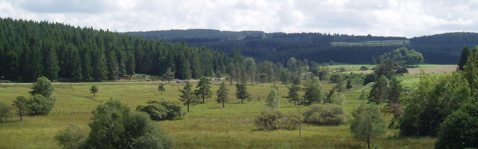
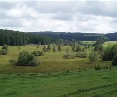
The landscape shifts constantly as you move through it. Open moorlands covered in heather and gorse give way to dense beech and oak forests on the sheltered slopes, then to planted spruce and fir groves that create a different atmosphere entirely — darker, quieter, the ground carpeted in needles. Peat bogs appear at the higher elevations, their sphagnum moss surfaces supporting carnivorous sundews and rare orchids. Weathered granite tors and boulder fields break the skyline at irregular intervals, remnants of the ancient bedrock that underlies everything here.
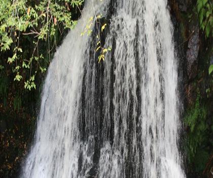
Water shapes the hiking experience more than anything else. Streams cross the trails constantly, many of them crystal-clear over granite gravel. The park contains the headwaters of the Vienne, Corrèze, and Vézère rivers, among others, and you feel that hydrological richness underfoot — expect wet conditions and muddy sections even after dry spells.
Trail Network
The park maintains an extensive marked trail network that accommodates everything from short family outings to multi-day expeditions. The GR 4 and GR 440 long-distance routes both pass through the park, connecting historic villages, pilgrimage sites, and natural landmarks across diverse terrain. These paths give experienced hikers access to the most remote and ecologically intact parts of the plateau.
Shorter loop trails start from villages and visitor centers throughout the park, making day hikes accessible without a long approach. Many of these routes include wooden boardwalks across sensitive bog areas — a practical solution that protects fragile ecosystems while letting hikers get close to habitat they'd otherwise have to skirt around. Interpretive panels along these trails explain the ecology and cultural history of the plateau in useful detail.
With 200 kilometers of trail across the network and an estimated 2h30 for a typical outing, there's enough variety here to reward multiple visits. The moderate difficulty rating reflects the generally gradual terrain, though the exposed plateau conditions and variable weather mean you shouldn't underestimate a full day out.
Wildlife and Natural Features
The park's mix of habitats — moorland, forest, wetland, and riparian zones — supports a genuinely diverse range of species. Red deer populations have recovered strongly in recent decades, and early morning or evening walks through forested areas offer real chances of an encounter. Wild boar are present in the denser woodlands but typically stay out of sight.
Birdwatching is a legitimate draw here. Honey buzzards and short-toed eagles hunt over the open moorlands, while the forests hold woodpeckers, nuthatches, and various warbler species. The wetlands attract waterfowl and wading birds throughout the season. The park's position at the intersection of different biogeographical zones means the species list is broader than you might expect for a single landscape.
The botanical diversity is equally notable. Acidic soils and a cool, moist climate support plant communities more typical of northern Europe — extensive stands of native heather, bilberry, and juniper across the moorlands, fern communities in the forest understory, and moss-covered granite boulders throughout. Late summer heather bloom turns the open plateau a deep purple that's genuinely striking.
Cultural Heritage
Human presence on the Millevaches plateau goes back a long way, and the trails reflect that. Megalithic monuments — standing stones and ancient burial sites — appear across the landscape. Medieval churches and chapels mark historic pilgrimage routes, many still intact in their original Romanesque form. The GR routes in particular tend to thread through this heritage rather than around it.
The villages themselves are worth attention. Built from local granite with slate roofs, they sit in the landscape rather than imposing on it. Stone walls and hedgerows create intricate field patterns around settlements, while abandoned farmsteads in more remote areas mark the rural depopulation of the 20th century. Some trails pass working farms where Limousin cattle graze in fields bounded by granite walls that have been standing for centuries.
Traditional crafts including woodworking and textile production survive in some communities, and local markets in the park's villages offer a grounded sense of what daily life on the plateau actually looks like.
Practical Considerations
Weather on the Millevaches plateau deserves serious attention. Temperatures run several degrees cooler than in the surrounding lowlands, and conditions can shift quickly — afternoon thunderstorms are a real possibility in summer, and the exposed moorland offers little shelter when they arrive. Rain gear is worth carrying regardless of the forecast.
Trail conditions vary with the season. Spring brings peak stream flows and impressive cascades, but also the muddiest trails of the year. Summer offers the most reliable footing and the heather bloom. Autumn delivers clear weather and excellent long-distance views across the plateau, along with strong color in the deciduous forests. Winter hiking is feasible but requires preparation — snow and ice can persist at higher elevations well into spring.
- Distance: 200 km of marked trails across the park network
- Elevation change: Up to 300 m
- Difficulty: Moderate
- Estimated time: 2h30 for a typical outing
- Long-distance routes: GR 4 and GR 440 both traverse the park
- Sensitive areas: Boardwalks provided across peat bog sections
The park's visitor centers and trailheads are distributed across the plateau, making it practical to base yourself in one of the granite villages and explore different sections of the network over several days.
The Essential Hiking Checklist
Everything you need for your next hike. Bilingual, printable, 1 page.
Get your free hiking checklistRecommended gear for this trail
As an Amazon Associate I earn from qualifying purchases.


Ready to go?
Everything you need to know before you goWhen?
How much?
As an Amazon Associate I earn from qualifying purchases.
Affiliate links — LGPO may earn a commission at no extra cost to you.
- Hiking shoes Essential
- → Salomon Elixir Tour Mid WP · 203.38 $
- Layered clothing Essential
- Rain jacket Essential
- Trekking poles
- → Black Diamond Trail Ergo Cork · 69.99 $
- Headlamp
- → Petzl Actik Core 625 · 103.95 $
FAQ - Frequently asked questions
Everything you need to knowSimilar hikes nearby
Discover other trails you might enjoy
Hiking near Sydney
22 trails to explore ~4705 km away
We work hard to provide the most up-to-date and error-free data possible. If something seems incorrect, let us know! Your contribution helps the whole community.
Hikers' opinions
Be the first to review!
No hiker has shared their experience yet. Share your impressions and help other hikers!