
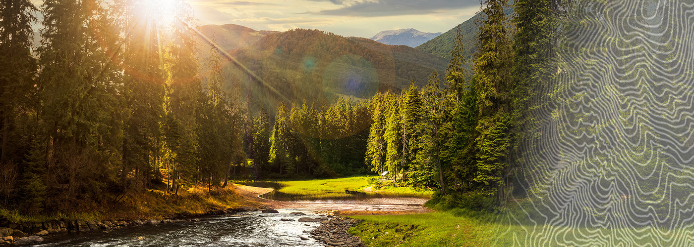

Ready to explore Talladega Scenic Drive? Here's everything you need to know before you go!
Discover the trail
Oh no! We don't have any photos 😢
This trail hasn't been captured yet. Be the first to share your adventure!Trail description
The Talladega Scenic Drive is one of Alabama's most rewarding road-based outdoor experiences, winding through the heart of the Talladega National Forest in the Appalachian foothills of east-central Alabama. Whether you're pulling over to stretch your legs, setting up a trailhead hike, or simply soaking in the views from your vehicle, this scenic corridor offers a genuine connection to one of the largest national forests in the southeastern United States.
What Is the Talladega Scenic Drive?
The Talladega Scenic Drive is a designated byway that cuts through the Talladega National Forest, offering access to forested ridgelines, creek valleys, and overlooks across the Talladega Mountains. This isn't a manicured tourist loop — it's a working forest road that doubles as a gateway to serious outdoor recreation. The drive itself is the spine that connects trailheads, picnic areas, and natural landmarks scattered throughout this section of the national forest.
The forest here is part of the broader Talladega National Forest system managed by the U.S. Forest Service. It's a landscape shaped by the southern end of the Appalachian chain, where ridges roll and drop through mixed hardwood and pine forest. The terrain is rugged enough to feel remote, but accessible enough that it draws hikers, mountain bikers, horseback riders, and hunters throughout the year.
The Terrain and Forest Character
The Talladega Mountains represent the southernmost extension of the Appalachians, and that geography shows up clearly along the scenic drive. You're moving through a landscape of forested ridges, rocky outcrops, and stream-fed hollows. The forest cover is a mix of upland hardwoods — oaks, hickories, maples — alongside longleaf and loblolly pine. In the lower drainages, you'll find denser riparian growth along the creeks that feed into the Coosa River watershed.
The elevation changes along the drive give you a real sense of the topography. You gain and lose altitude as the road follows the contours of the ridgeline, and the overlooks that open up along the way offer long views across the forested hills of east Alabama. On clear days, the sense of scale is genuinely impressive for this part of the South.
Hiking Access Along the Drive
The scenic drive serves as the primary access corridor for several trail systems within this section of the Talladega National Forest. The Pinhoti Trail is the most significant of these — a long-distance trail that runs through the forest and connects to the broader trail network extending into Georgia. Trailheads for the Pinhoti and other forest trails are accessible from pullouts and designated parking areas along the drive.
Hikers using the scenic drive as a base can access routes that range from short out-and-back walks to multi-day backcountry segments. The forest trails here tend to follow ridge systems and creek drainages, offering varied terrain depending on which section you choose to explore. Trail conditions can vary seasonally, and some sections involve rocky footing and moderate elevation gain.
Wildlife and Natural Features
The Talladega National Forest supports a diverse mix of wildlife typical of the southern Appalachian foothills. White-tailed deer are common throughout the forest, and the area is known as productive habitat for wild turkey. Songbird diversity is high, particularly during spring migration when the hardwood canopy fills out. The creek systems along the drive support native fish species and provide habitat for a range of amphibians.
The forest also includes areas of older growth and rocky outcrops that add visual interest to the landscape. Seasonal wildflowers appear in the understory during spring, and fall color along the drive can be striking as the hardwoods turn through October and into November.
Practical Information for Visitors
The Talladega Scenic Drive is located within the Talladega National Forest in Alabama, managed by the U.S. Forest Service. Access to the national forest is generally open to the public, though specific recreation sites may have associated fees or permit requirements — check with the U.S. Forest Service's Talladega Ranger District for current conditions and any seasonal closures before your visit.
- Road conditions: The scenic drive includes paved and unpaved sections. Some portions may be rough or impassable for low-clearance vehicles, particularly after heavy rain. A vehicle with reasonable ground clearance is recommended if you plan to explore beyond the main corridor.
- Trailhead parking: Designated pullouts and small parking areas are available at key trailheads along the drive. These are typically unpaved and informal.
- Dogs: Pets are generally permitted in national forests but must be kept under control. Check current U.S. Forest Service guidelines for any specific restrictions in the area.
- Hunting: The Talladega National Forest is open to hunting during designated seasons. If you're hiking during hunting season, wearing blaze orange is strongly recommended.
- Cell service: Coverage is limited to nonexistent in much of the forest. Download offline maps before you go and let someone know your plans.
Best Times to Visit
Spring and fall are the most popular seasons along the Talladega Scenic Drive. Spring brings wildflowers and active wildlife, while fall delivers hardwood color that makes the drive genuinely scenic in the most literal sense. Summer is hot and humid — typical of Alabama — but the forest canopy provides shade on the trails. Winter visits are quieter and can offer clearer views through the bare trees, though some roads may be affected by ice or frost at higher elevations.
Getting There
The Talladega Scenic Drive is located in east-central Alabama within the Talladega National Forest. The town of Talladega serves as a practical base for accessing the area, and the drive is reachable from several entry points depending on which section of the forest you're targeting. Use a current map from the U.S. Forest Service or a reliable GPS application to navigate, as signage within the forest can be inconsistent and roads are not always well-marked on standard mapping apps.
Before heading out, it's worth contacting the Talladega Ranger District of the U.S. Forest Service directly to get up-to-date information on road conditions, trail closures, and any active fire or weather advisories affecting the area.
The Essential Hiking Checklist
Everything you need for your next hike. Bilingual, printable, 1 page.
Get your free hiking checklistRecommended gear for this trail
As an Amazon Associate I earn from qualifying purchases.


Ready to go?
Everything you need to know before you goWhen?
How much?
As an Amazon Associate I earn from qualifying purchases.
Affiliate links — LGPO may earn a commission at no extra cost to you.
- Hiking shoes Essential
- → Salomon Elixir Tour Mid WP · 203.38 $
- Layered clothing Essential
- Rain jacket Essential
- Trekking poles
- → Black Diamond Trail Ergo Cork · 69.99 $
- Headlamp
- → Petzl Actik Core 625 · 103.95 $
FAQ - Frequently asked questions
Everything you need to knowSimilar hikes nearby
Discover other trails you might enjoy
Hiking near Sydney
22 trails to explore ~7673 km away
We work hard to provide the most up-to-date and error-free data possible. If something seems incorrect, let us know! Your contribution helps the whole community.
Hikers' opinions
Be the first to review!
No hiker has shared their experience yet. Share your impressions and help other hikers!