
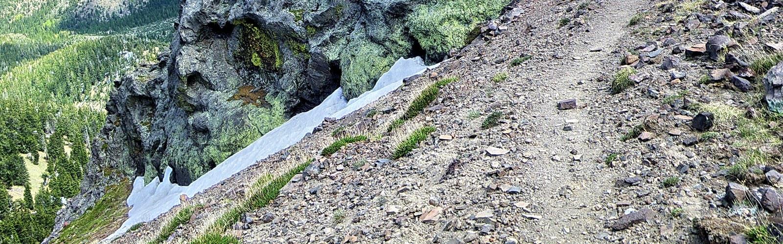

Ready to explore Doyle Peak? Here's everything you need to know before you go!
Discover the trail
Oh no! We don't have any photos 😢
This trail hasn't been captured yet. Be the first to share your adventure!Trail description
Doyle Peak is one of those summits that rewards the effort in a way that's hard to put into words until you're standing on top. Located in the San Francisco Peaks north of Flagstaff, Arizona, it's the kind of hike that draws people who want something more than a casual forest walk — a real climb through changing terrain, with views that open up dramatically as you gain elevation.
The Terrain
The route to Doyle Peak takes you through the Coconino National Forest, climbing through ponderosa pine forest before transitioning into spruce and fir as you move higher. The trail gains serious elevation, and you'll feel it in your legs. The upper sections get rocky and exposed, with the kind of loose scree and open ridgeline that demands your full attention. This isn't a trail where you can zone out — the terrain keeps you engaged the whole way up.
The San Francisco Peaks are a volcanic field, and that geology shows in the landscape. The rock underfoot is dark and rough, the slopes steep and uneven. As you approach the upper mountain, the treeline thins and eventually disappears, leaving you on open alpine terrain with wide-open sky in every direction.
What to Expect on the Trail
Doyle Peak is considered a challenging hike. The ascent is sustained — there's no flat section in the middle where you get to catch your breath and coast. You're climbing from the moment you leave the trailhead, and the grade doesn't let up much until you reach the summit area. That said, the trail is well-defined for most of the route, and experienced hikers who are comfortable on steep, rocky terrain will find it manageable with proper preparation.
The upper mountain is where things get more serious. The ridgeline is exposed to wind, and weather in the San Francisco Peaks can shift quickly. Afternoon thunderstorms are a real concern during summer months, and the open summit offers zero shelter. Starting early is not just a suggestion here — it's genuinely important for your safety.
Footing on the upper section requires care. The loose volcanic rock can shift underfoot, and trekking poles are a smart addition if you have them. Sturdy hiking boots with good ankle support make a noticeable difference on the descent, which can be hard on the knees given the sustained grade.
Views and Highlights
The payoff at the top is real. From the summit of Doyle Peak, you get sweeping views across northern Arizona — the high desert plateau stretching out to the south, the other peaks of the San Francisco volcanic field rising around you, and on clear days, visibility that extends for a remarkable distance in every direction. The contrast between the dense forest below and the stark, open summit is one of the things that makes this hike memorable.
The forest sections lower on the trail have their own appeal. The ponderosa pines in this part of Arizona are massive and aromatic, and the transition zones where the forest type changes as you gain elevation are genuinely interesting to move through. Wildlife is present in the area — keep your eyes open and your noise level reasonable.
Practical Information
Doyle Peak sits within the Kachina Peaks Wilderness, which is part of Coconino National Forest. This designation means the area is managed to preserve its natural character — no motorized vehicles, and a general expectation that visitors leave the terrain as they found it. Check current wilderness regulations before you go, as rules around group size and camping can apply.
- Difficulty: Challenging — sustained elevation gain, rocky upper terrain, exposed ridgeline
- Best season: Late spring through early fall, when snow has cleared from the upper mountain; avoid summer afternoons due to lightning risk
- Trailhead access: The area is accessible via roads leading into the San Francisco Peaks from Flagstaff
- What to bring: Plenty of water, layers for the summit (temperatures drop significantly with elevation), trekking poles, and sturdy footwear
- Leave No Trace: The Kachina Peaks Wilderness is a sensitive alpine environment — stay on trail, pack out everything you bring in
Who This Hike Is For
Doyle Peak is best suited for hikers who already have some experience with elevation gain and aren't intimidated by rocky, exposed terrain. If you've done a few moderate hikes and are looking to push into something more demanding, this is a solid next step — but go in with realistic expectations about the physical effort involved. It's not a hike to attempt in casual footwear or without adequate water and food.
For those who are already comfortable on challenging terrain, Doyle Peak delivers exactly what you'd want from a summit hike in northern Arizona: a genuine physical challenge, dramatic scenery, and the satisfaction of earning a view that not everyone makes the effort to see.
Getting There
Doyle Peak is located in the San Francisco Peaks outside of Flagstaff, Arizona. The trailhead is accessible by vehicle, and Flagstaff serves as the main base for anyone visiting the area. Check current road and trail conditions before heading out, particularly in spring when snowmelt can affect access, and in late summer when afternoon storm activity is common across the high country.
The Essential Hiking Checklist
Everything you need for your next hike. Bilingual, printable, 1 page.
Get your free hiking checklistRecommended gear for this trail
As an Amazon Associate I earn from qualifying purchases.


Ready to go?
Everything you need to know before you goWhen?
How much?
As an Amazon Associate I earn from qualifying purchases.
Affiliate links — LGPO may earn a commission at no extra cost to you.
- Hiking shoes Essential
- → Salomon Elixir Tour Mid WP · 203.38 $
- Layered clothing Essential
- Rain jacket Essential
- Trekking poles
- → Black Diamond Trail Ergo Cork · 69.99 $
- Headlamp
- → Petzl Actik Core 625 · 103.95 $
FAQ - Frequently asked questions
Everything you need to knowSimilar hikes nearby
Discover other trails you might enjoy
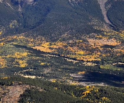
Kendrick Peak
Northern Arizona

Humphreys Peak
Northern Arizona
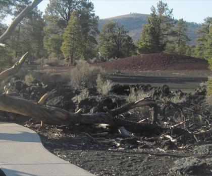
Sunset Crater Volcano
Northern Arizona
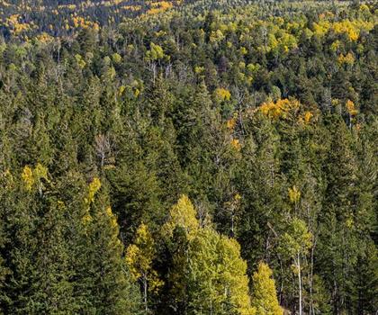
Hart Prairie
Northern Arizona
Gran Canyon
Northern Arizona
New Hance Trail
Northern Arizona
Hiking near Kelowna
45 trails to explore ~1738 km away
We work hard to provide the most up-to-date and error-free data possible. If something seems incorrect, let us know! Your contribution helps the whole community.
Hikers' opinions
Be the first to review!
No hiker has shared their experience yet. Share your impressions and help other hikers!